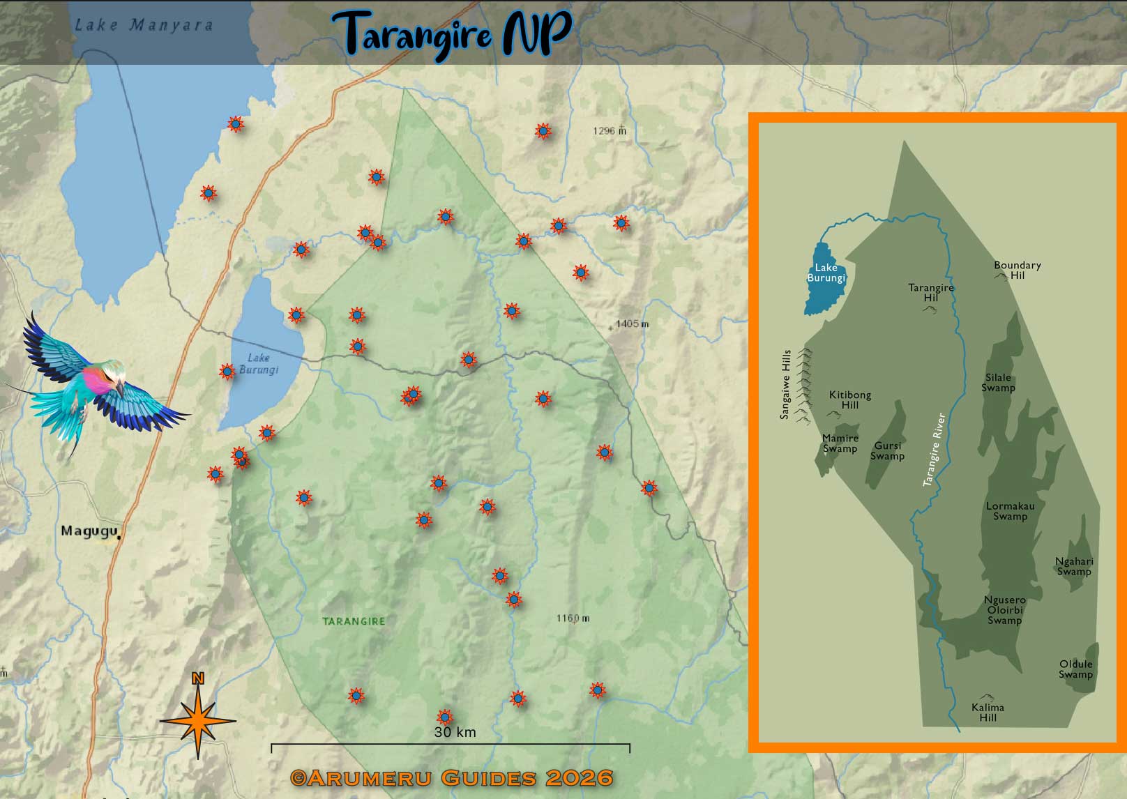
Lake Manyara Park ' The Rift Valley Gem '
| Established | 1960 |
| Area | 648 km² (Land 325 km²) |
| Elevation | 960 –1,200 m |
| Nearest Town | Arusha |
| Main River | Tarangire |
| Key Features | Lake, Rift Valley, |
| Best Time | Jun–Oct |
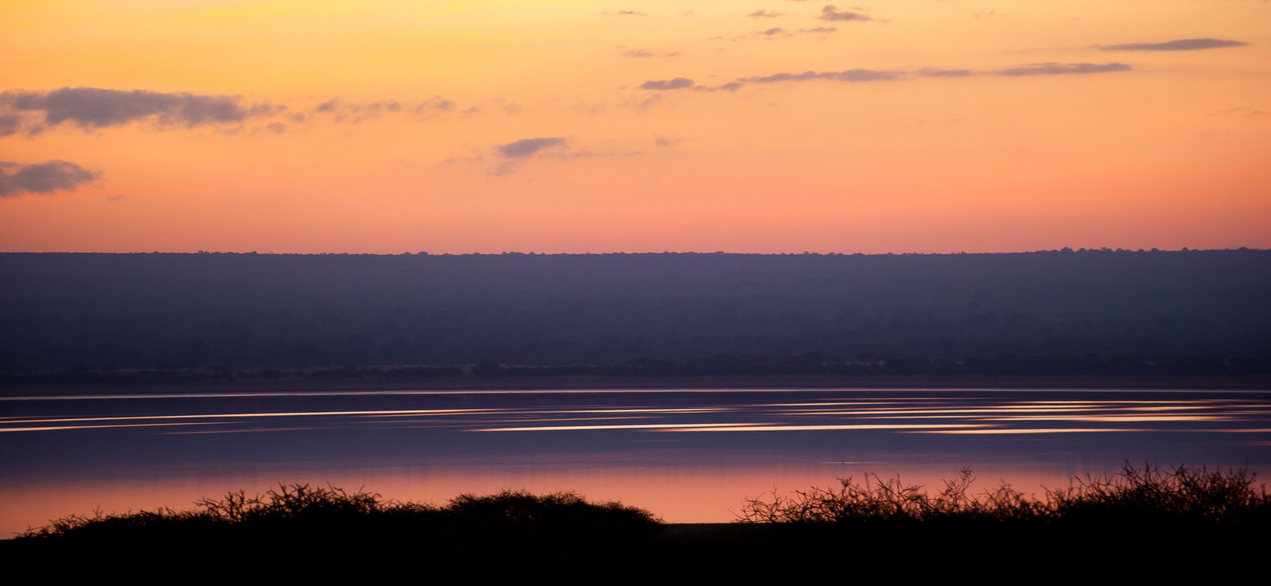
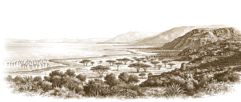
‘The loveliest lake in Africa.’
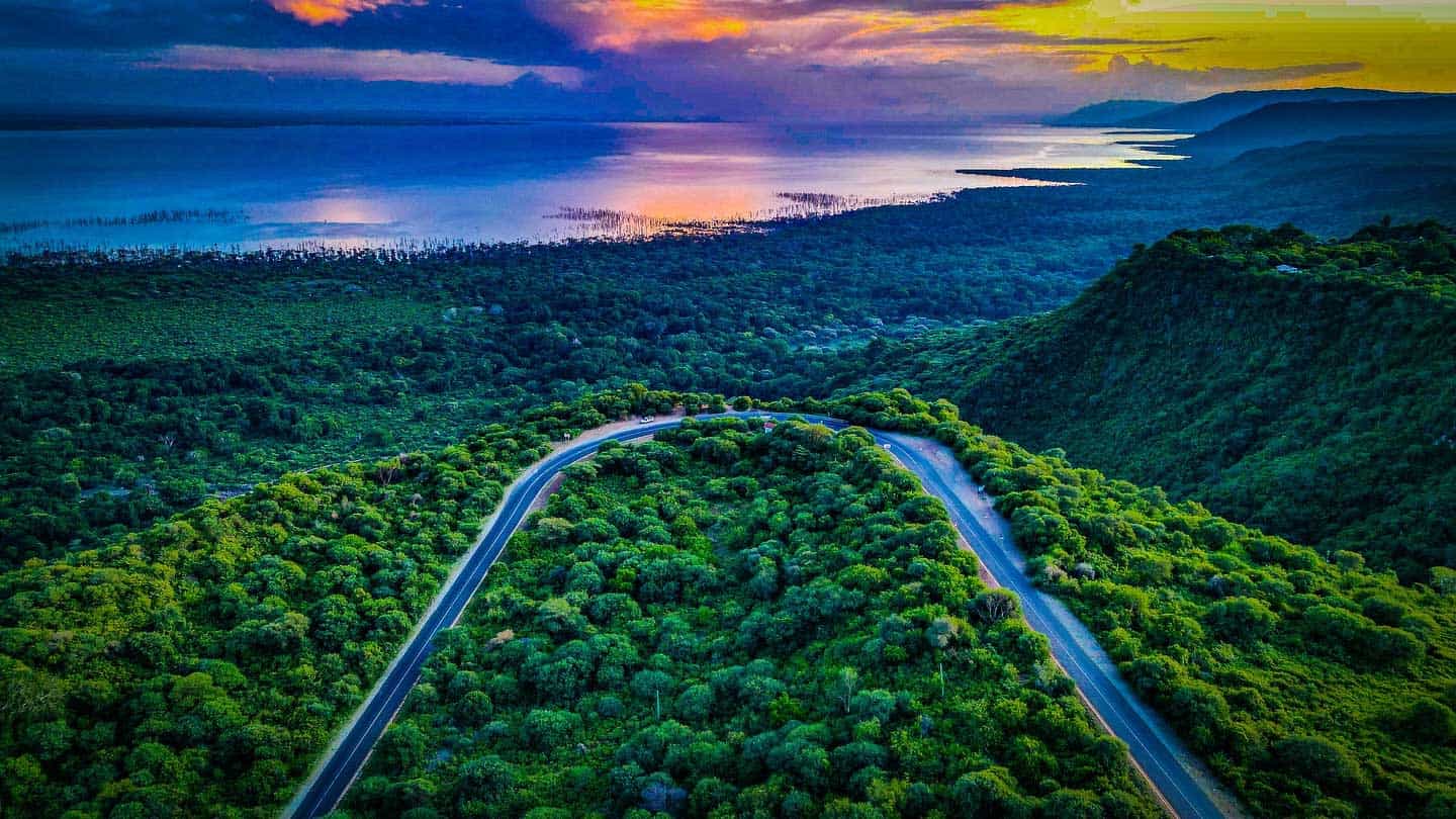
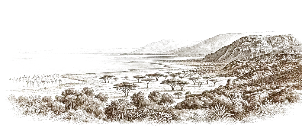
Ernest Hemingway called Lake Manyara the “loveliest [lake] … in Africa”. In his 1935 safari memoir Green Hills of Africa, he captured the scene perfectly: “If you looked away from the forest and the mountain side… away, across a long sweep of country, was the brown Rift Valley and the shine of Lake Manyara”.
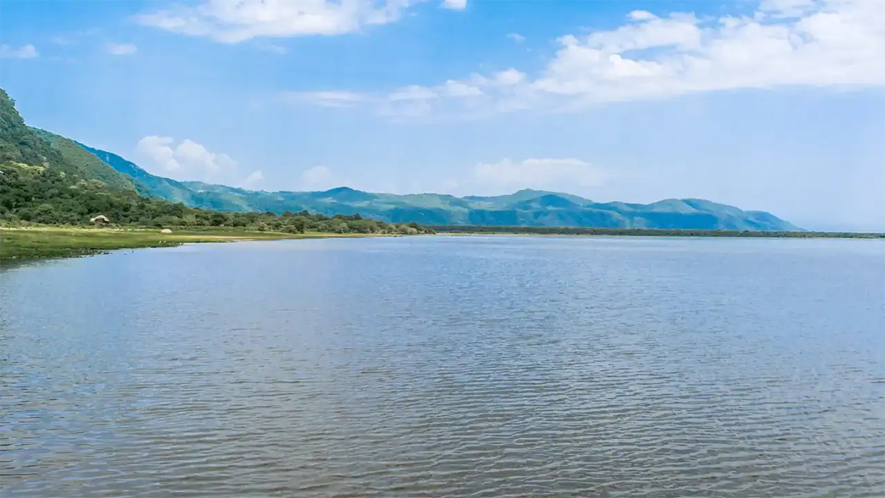
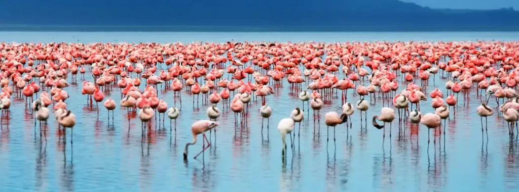
| This unique “shine” comes directly from the lake’s alkaline, soda-rich waters—waters that sustain vibrant flocks of flamingos, pods of hippos, and some of Tanzania’s most spectacular wilderness scenery. |  |
For nearly a century, Hemingway’s romantic words have invited travelers to witness what he saw: an ecosystem where the steep Rift Valley wall, groundwater forest, and wildlife come together. Today, that “shine” still draws visitors to its flamingo-fringed shores. |
The groundwater forest is unique among soda lakes. Unlike most soda lakes that are surrounded by barren mudflats or sparse halophytic vegetation, Manyara’s western shore is fed by perennial groundwater springs that sustain a lush, tropical-like forest—a feature not found at Natron, Magadi, or the other Gregory Rift soda lakes.
‘The loveliest lake in Africa.’
If you looked away from the forest and the mountain side… away, across a long sweep of country, was the brown Rift Valley and the shine of Lake Manyara.
So wrote Ernest Hemingway in Green Hills of Africa (1935), calling this alkaline lake the “loveliest [lake] … in Africa.” Today, that “shine” still draws visitors to its flamingo-fringed shores.
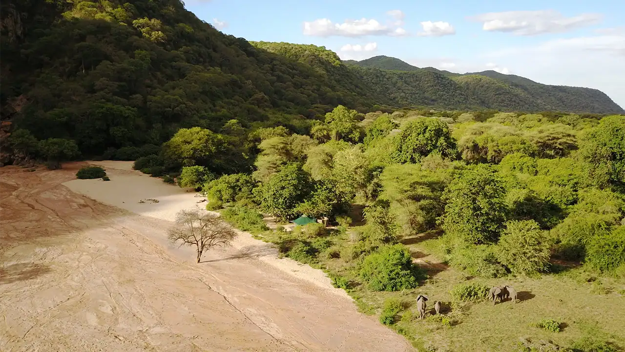
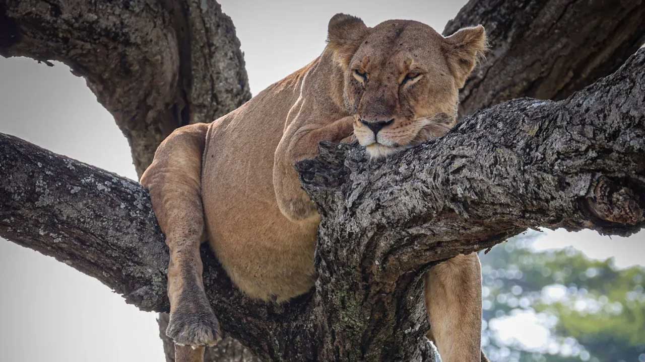
Tree‑climbing lions loll in the acacia branches.
One of the best places to see tree‑climbing lions… thought to climb acacia trees to escape biting insects and the heat on the ground.
The western escarpment rises ~600 m and is exceptionally dramatic because the eastern wall is missing. The land east of Manyara slopes gently away, leaving a single towering wall.
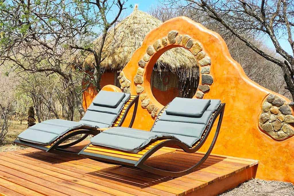
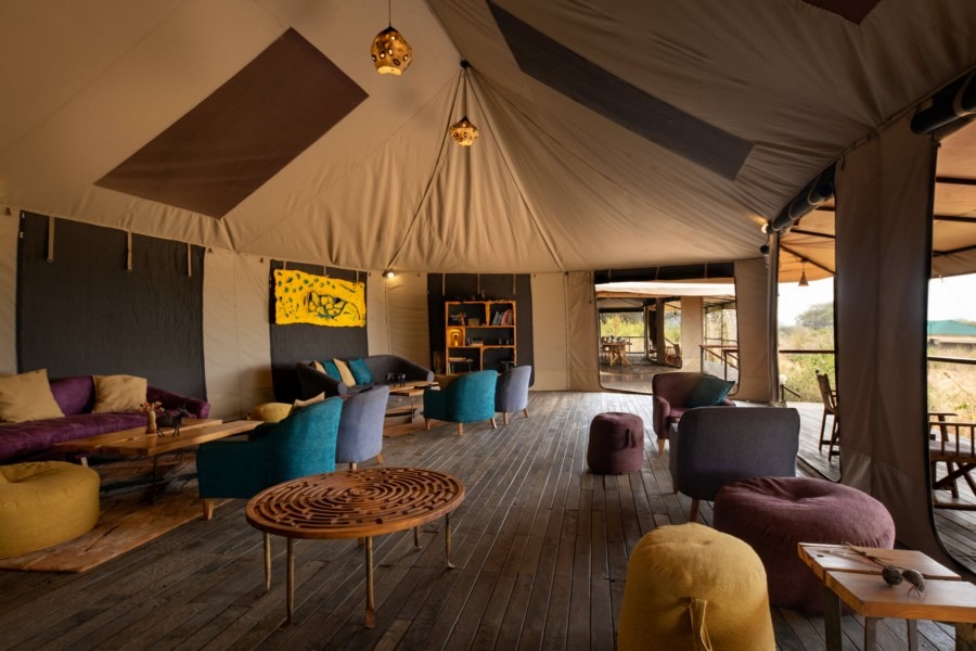
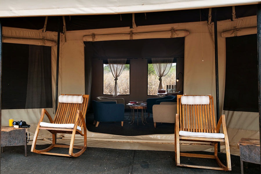
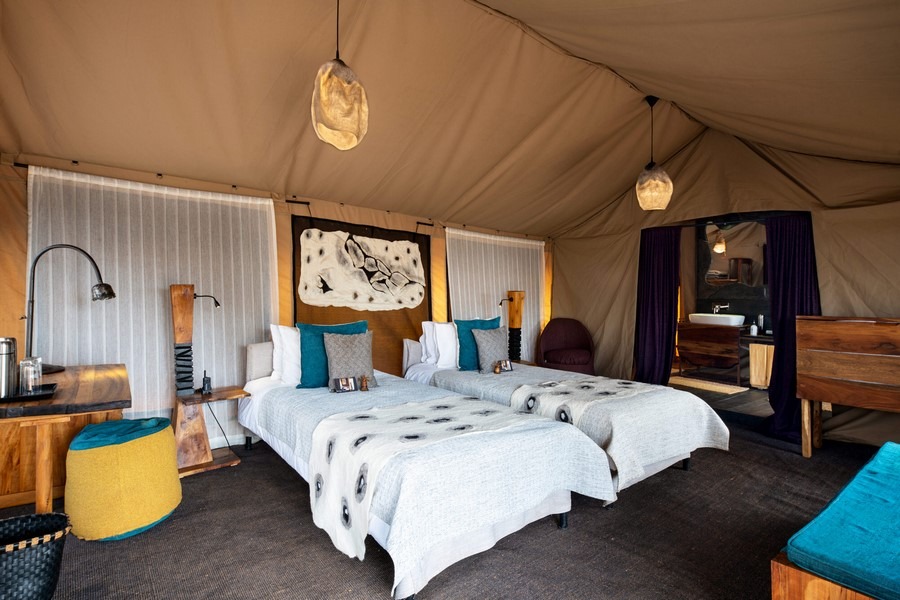
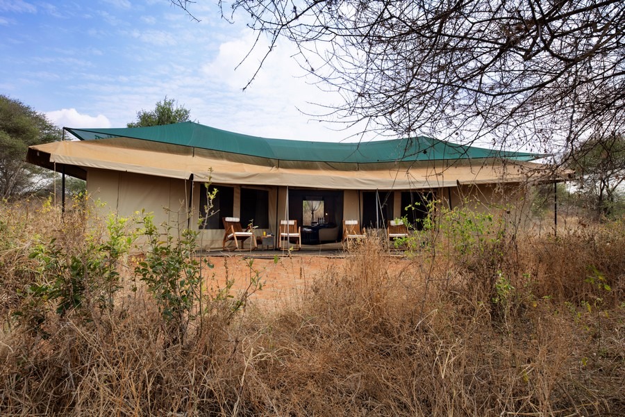
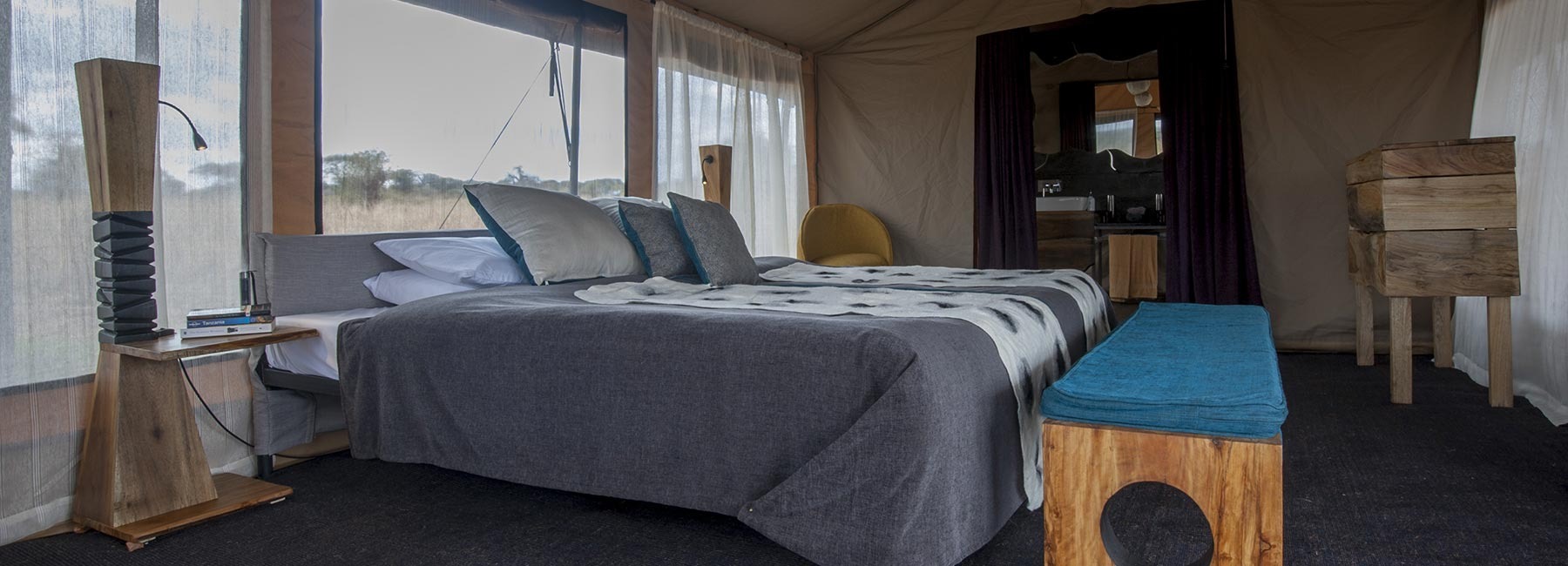
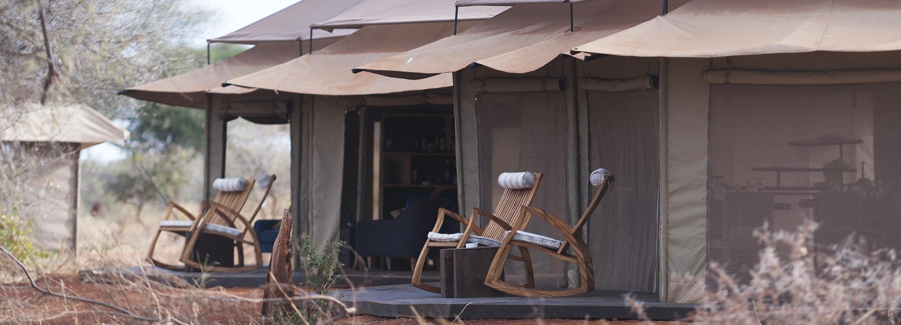
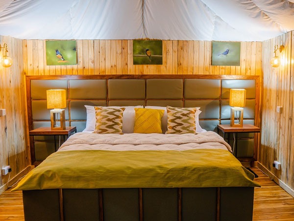
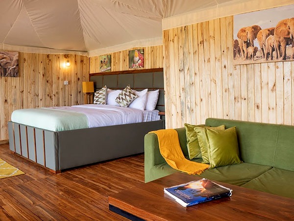
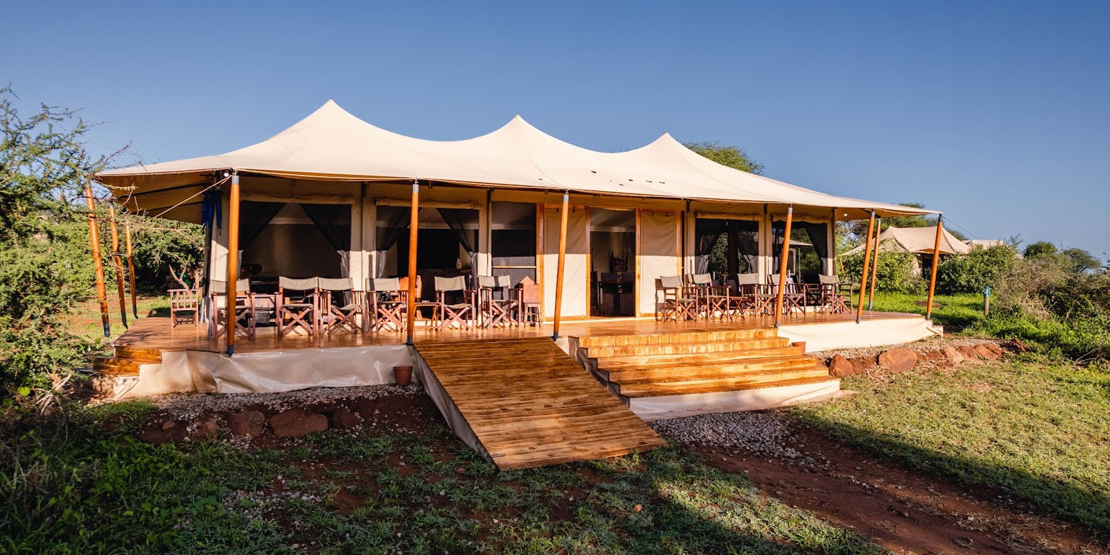
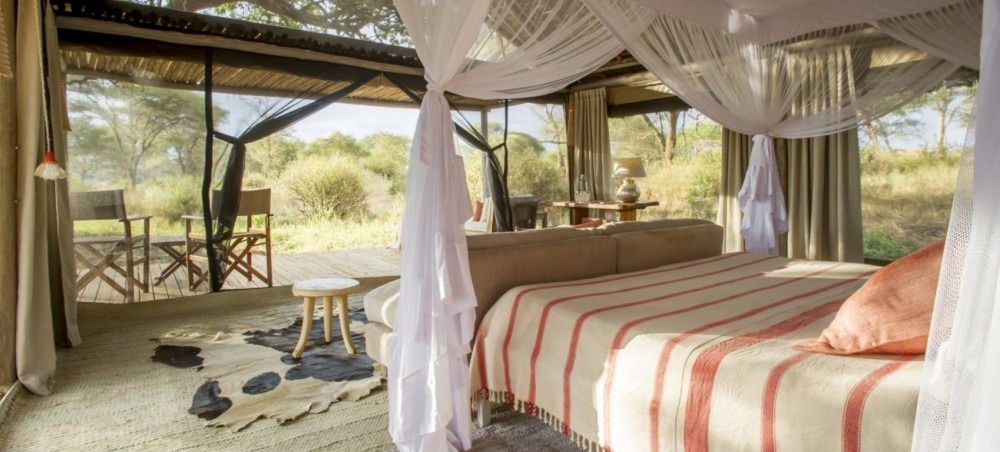
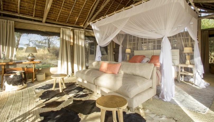
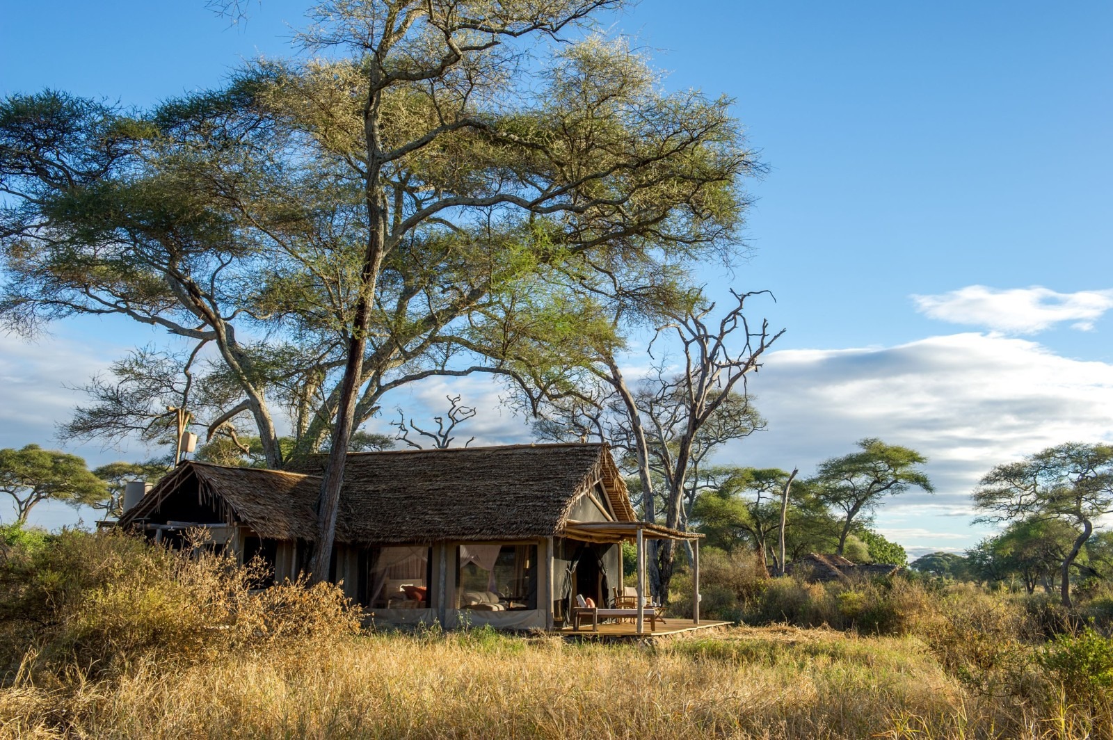
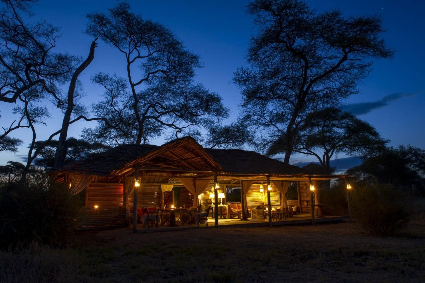
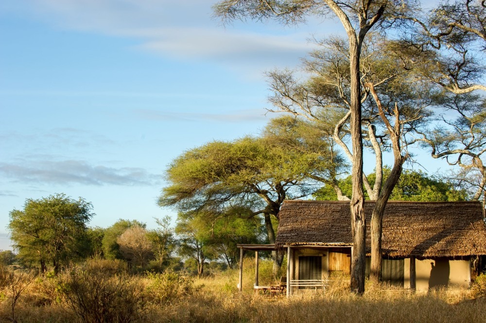
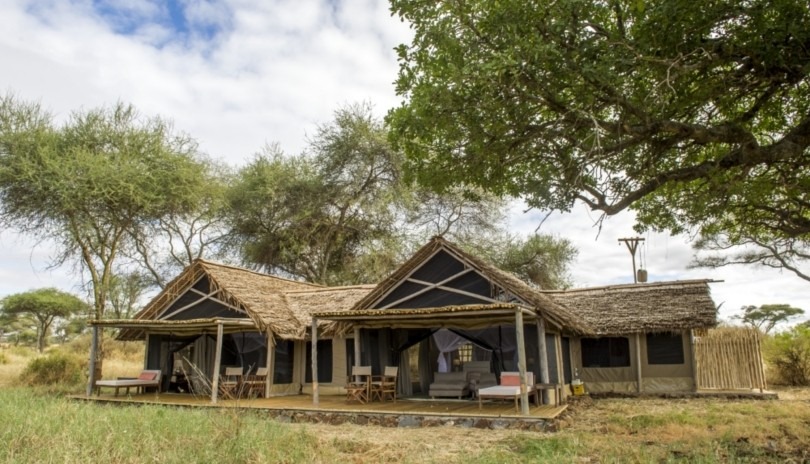
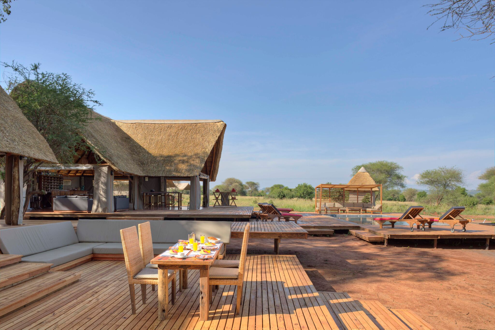
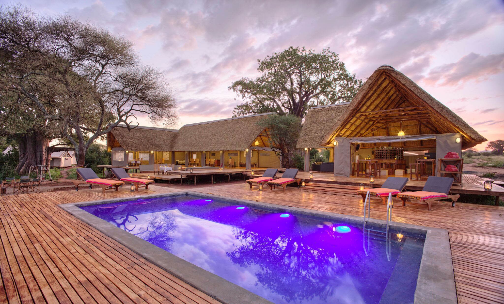
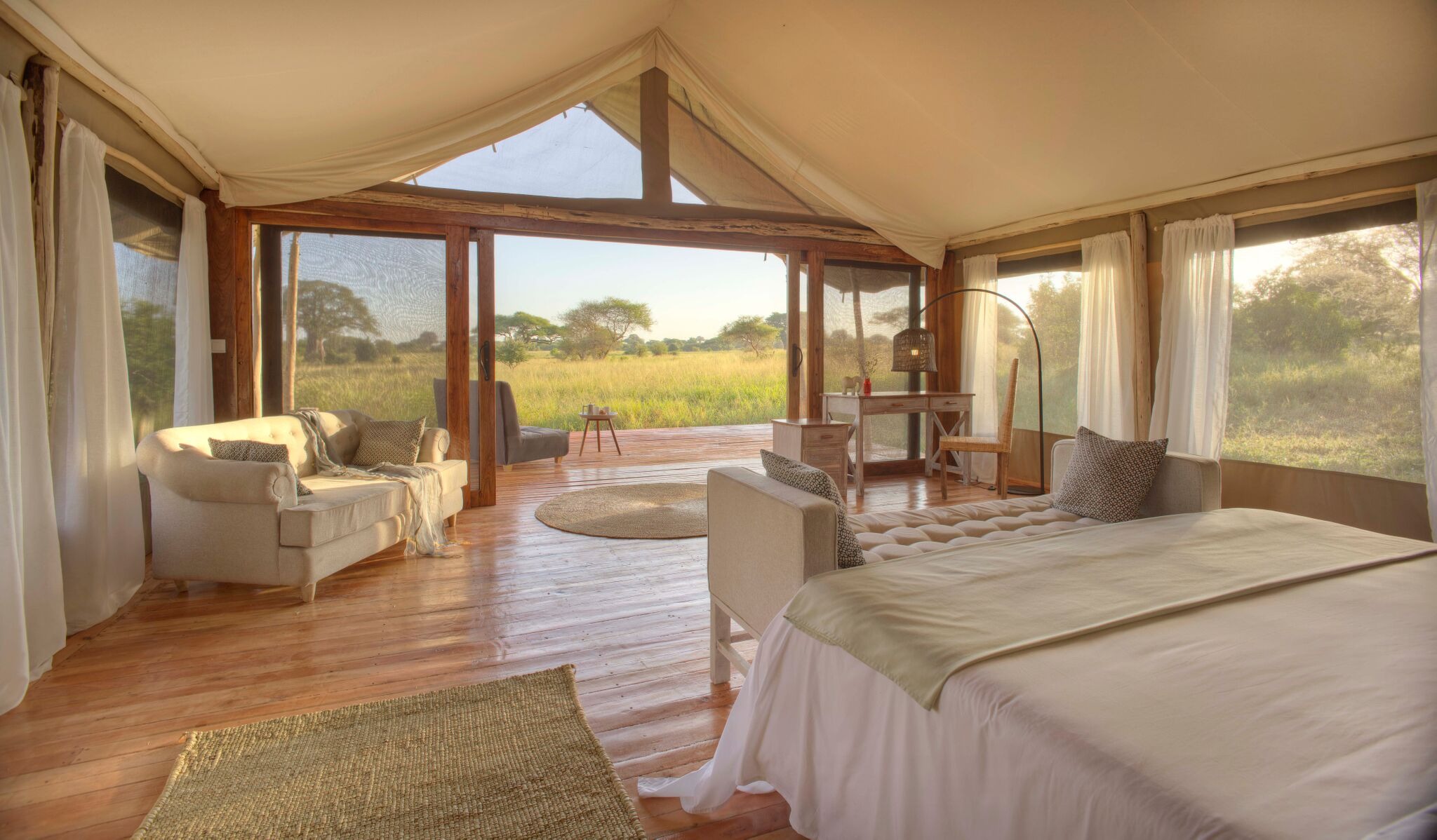
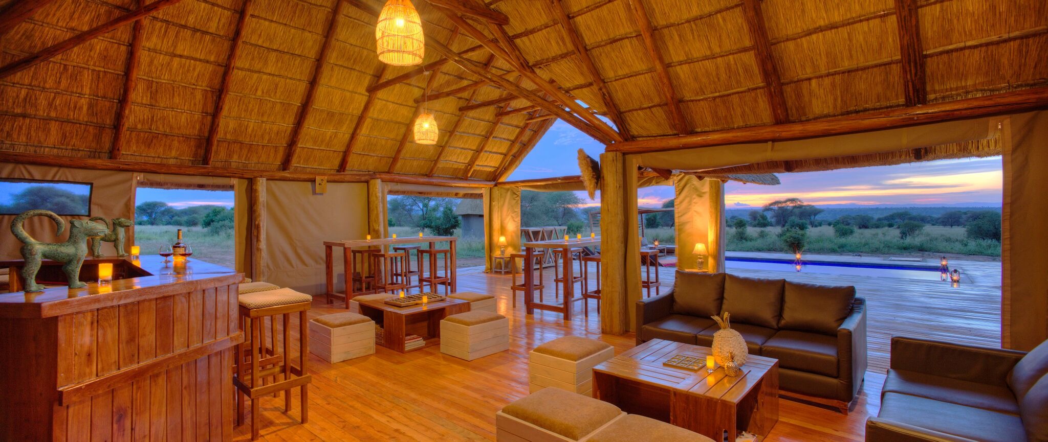
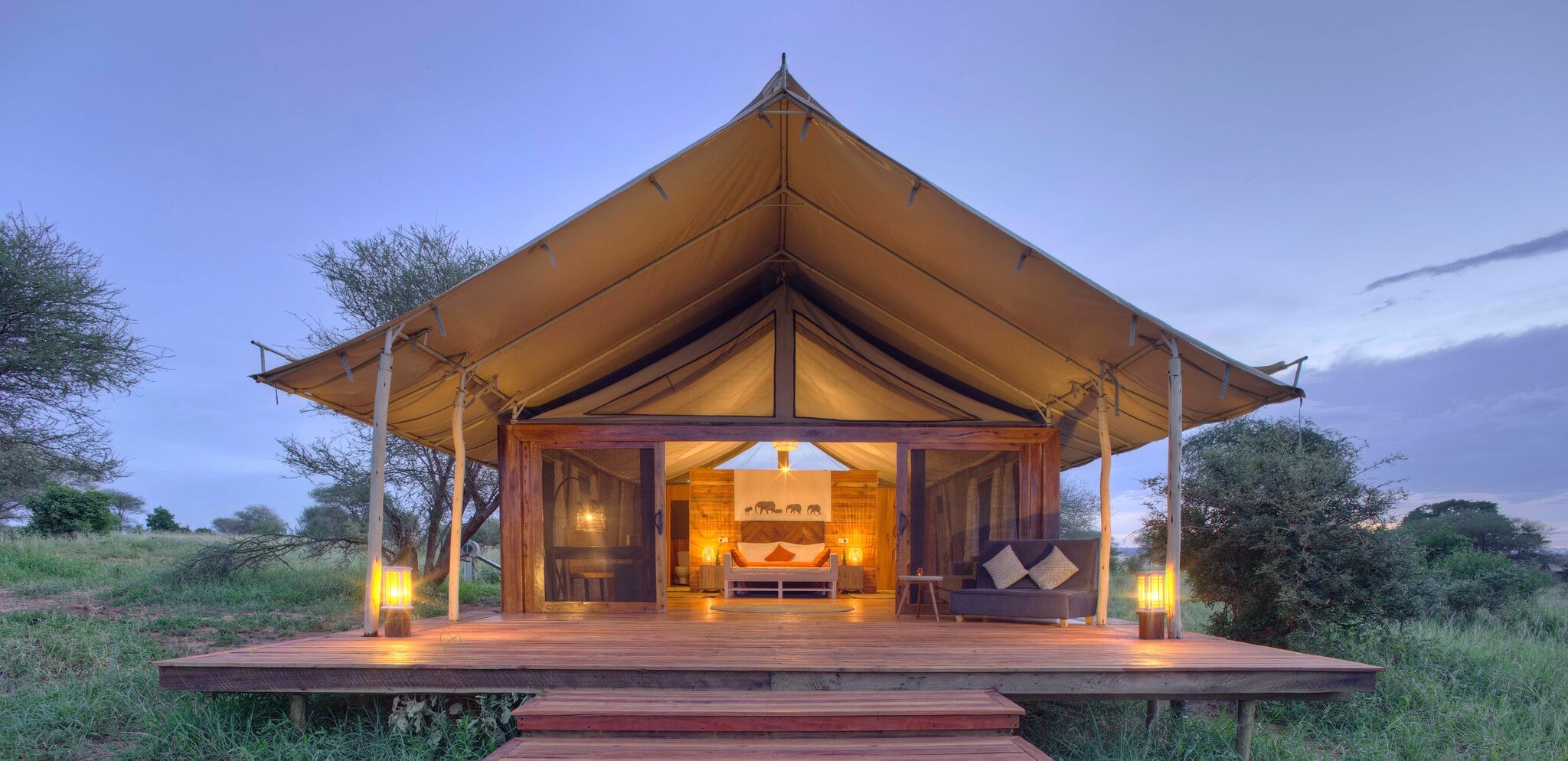
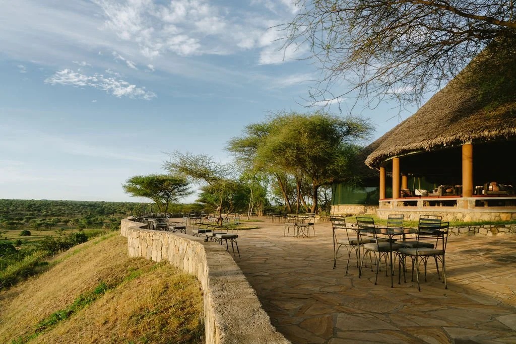
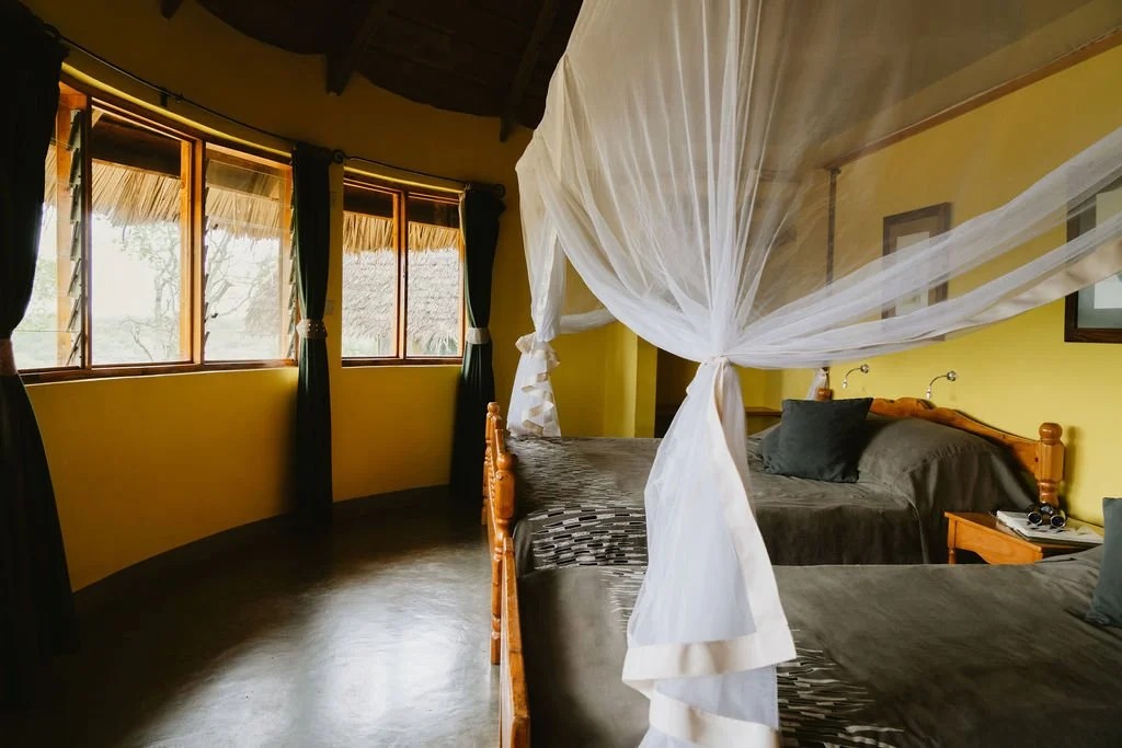
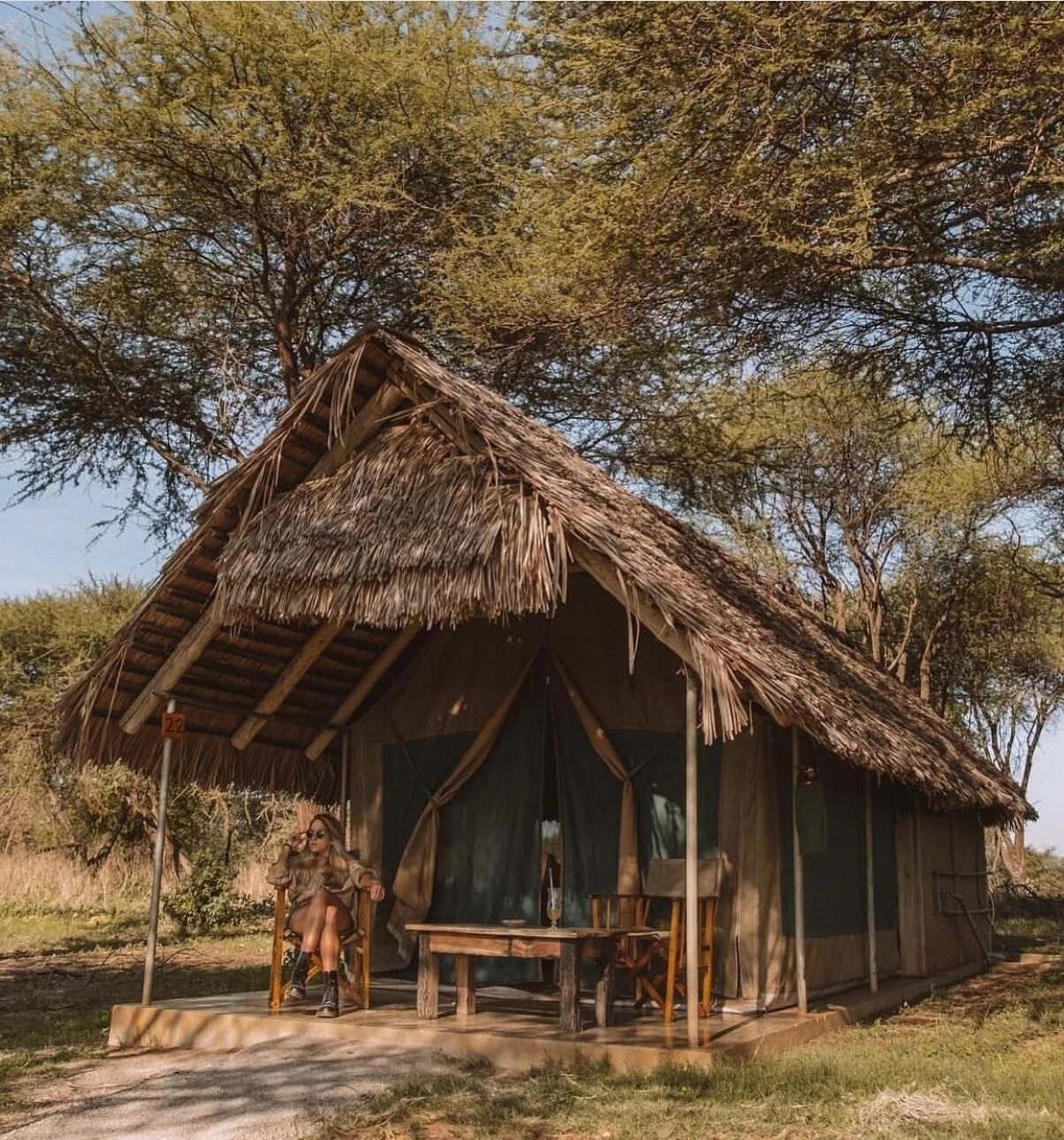
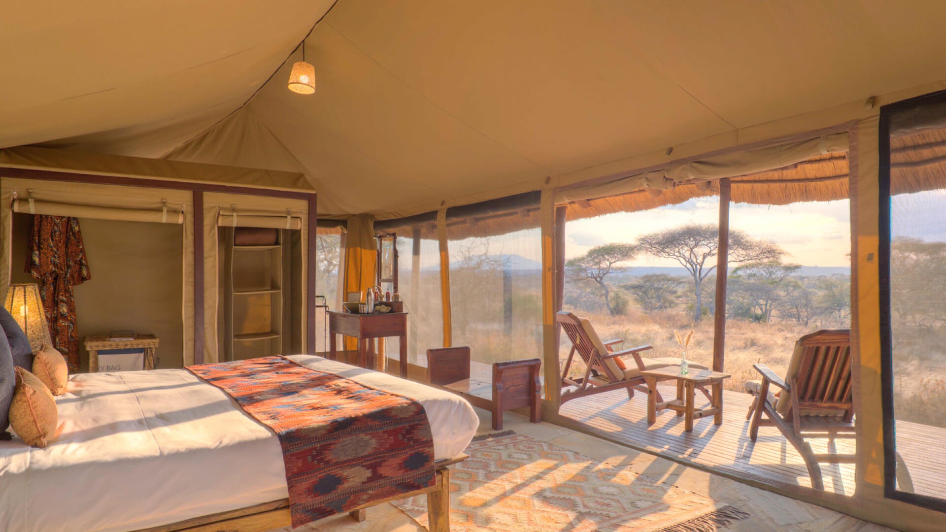
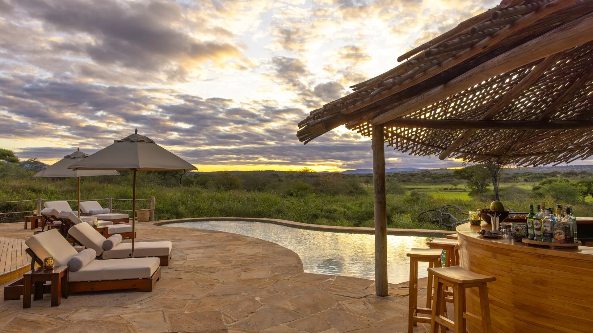
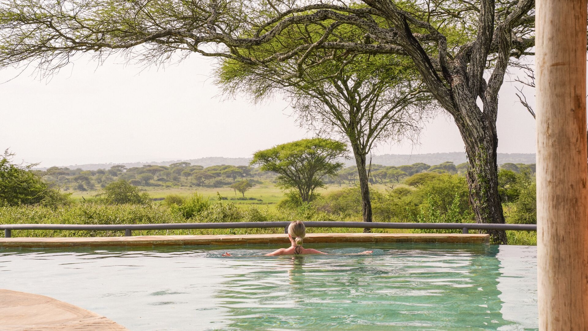
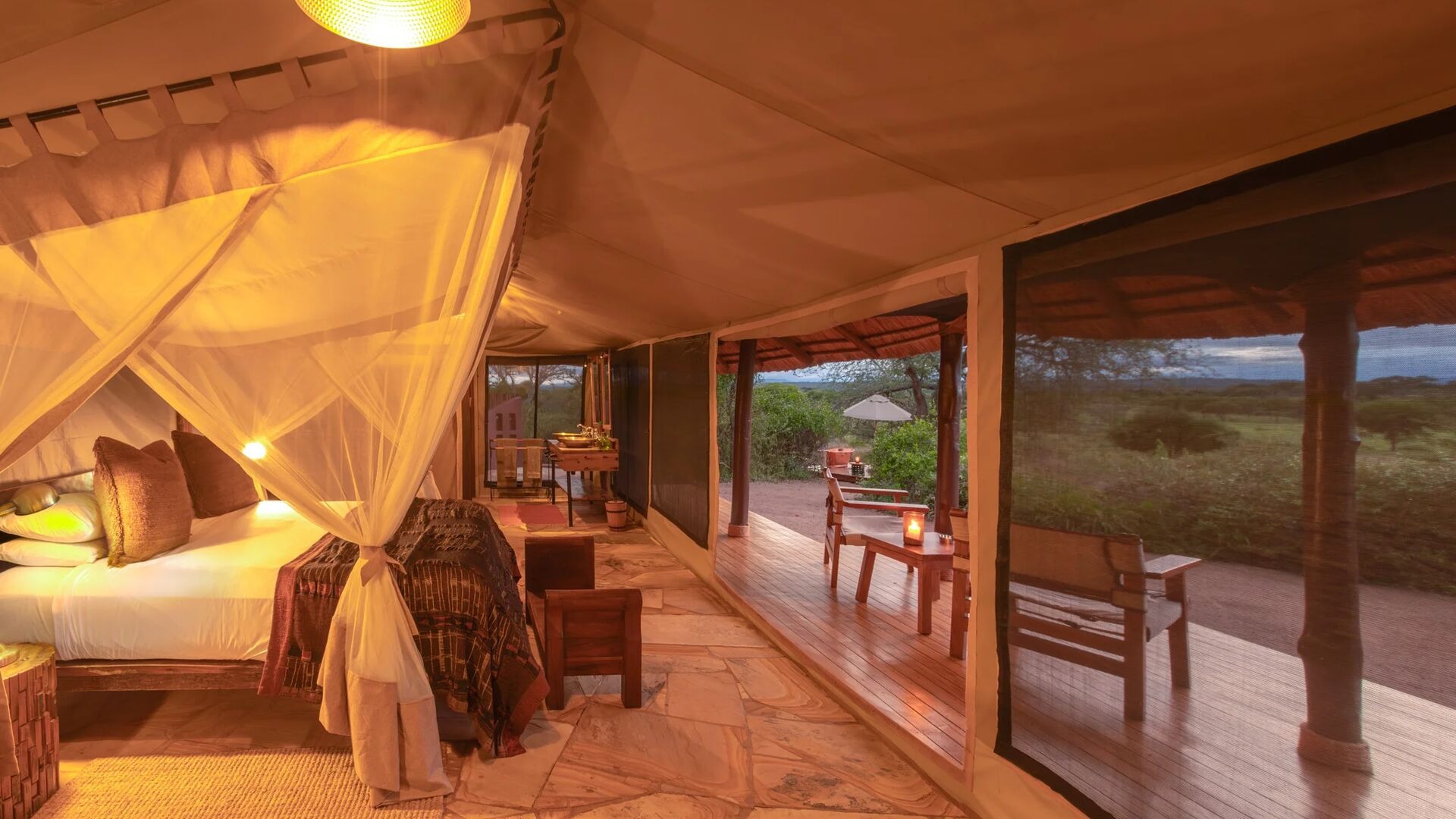
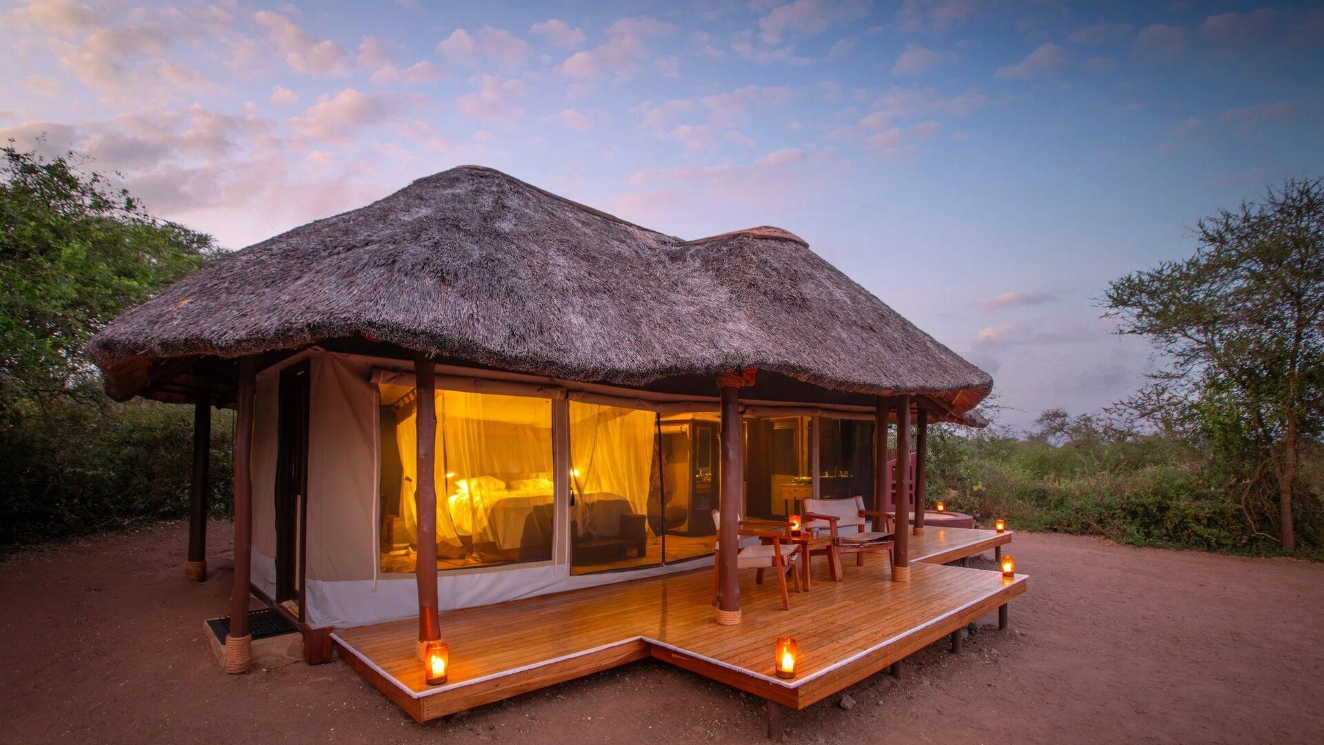
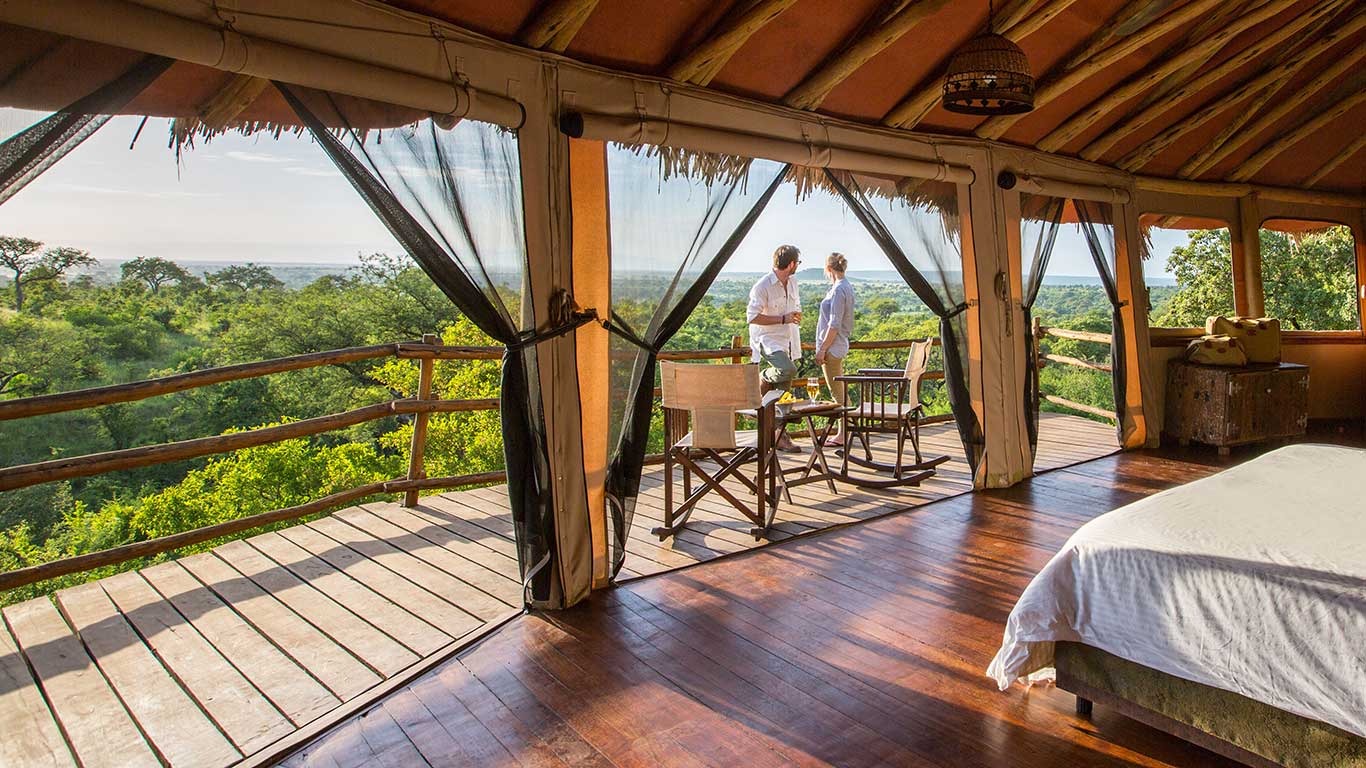
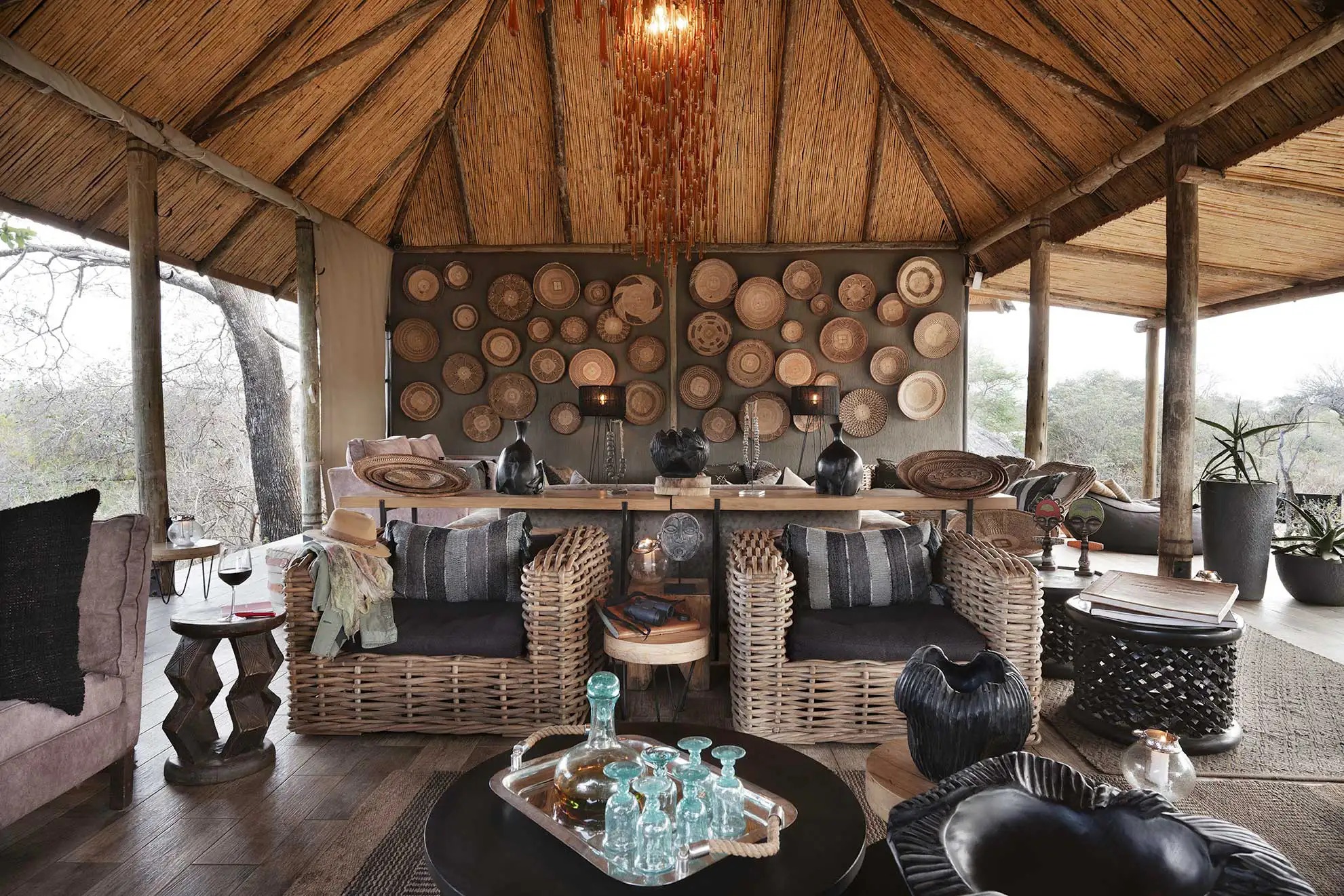
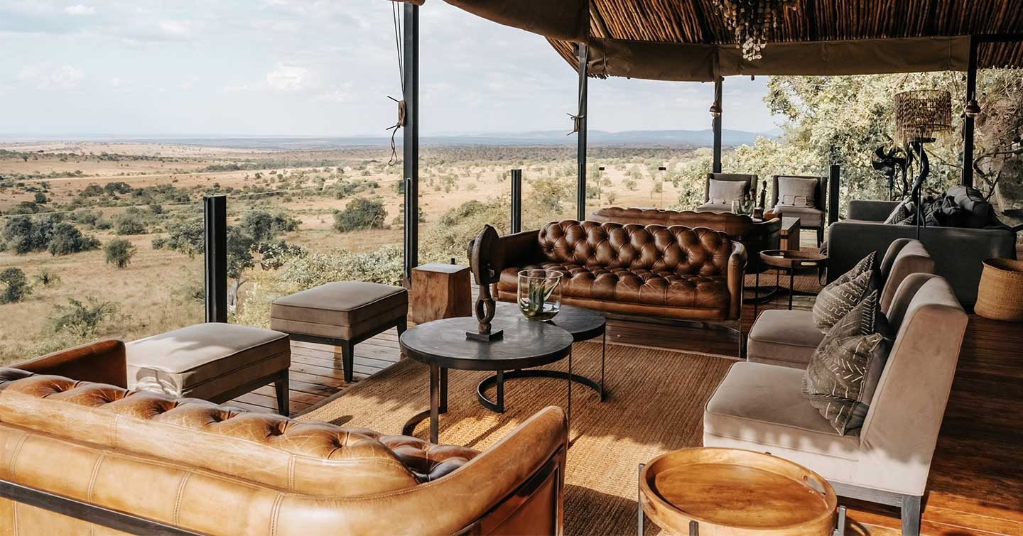
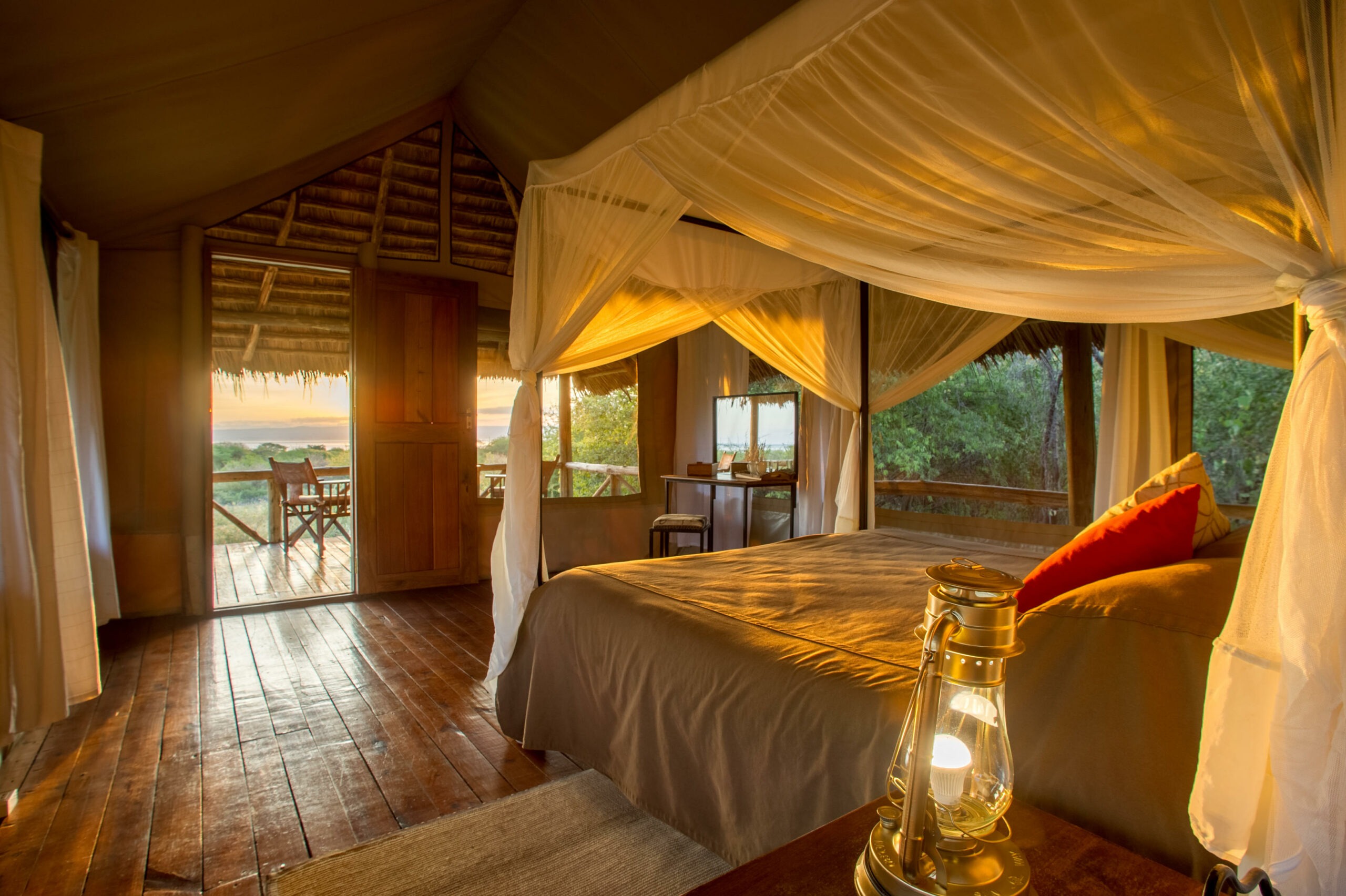
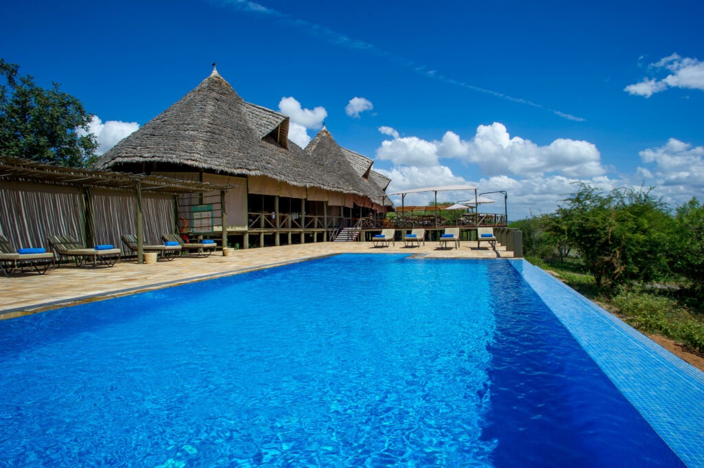
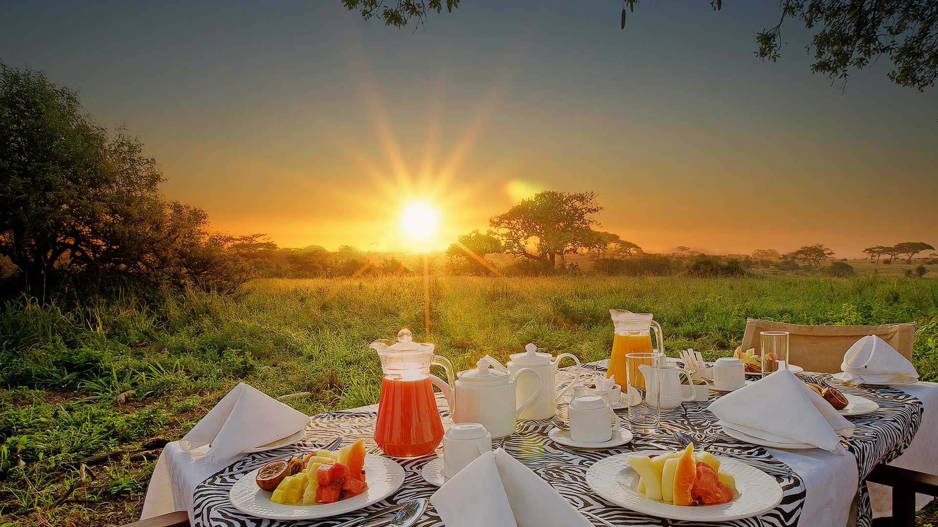
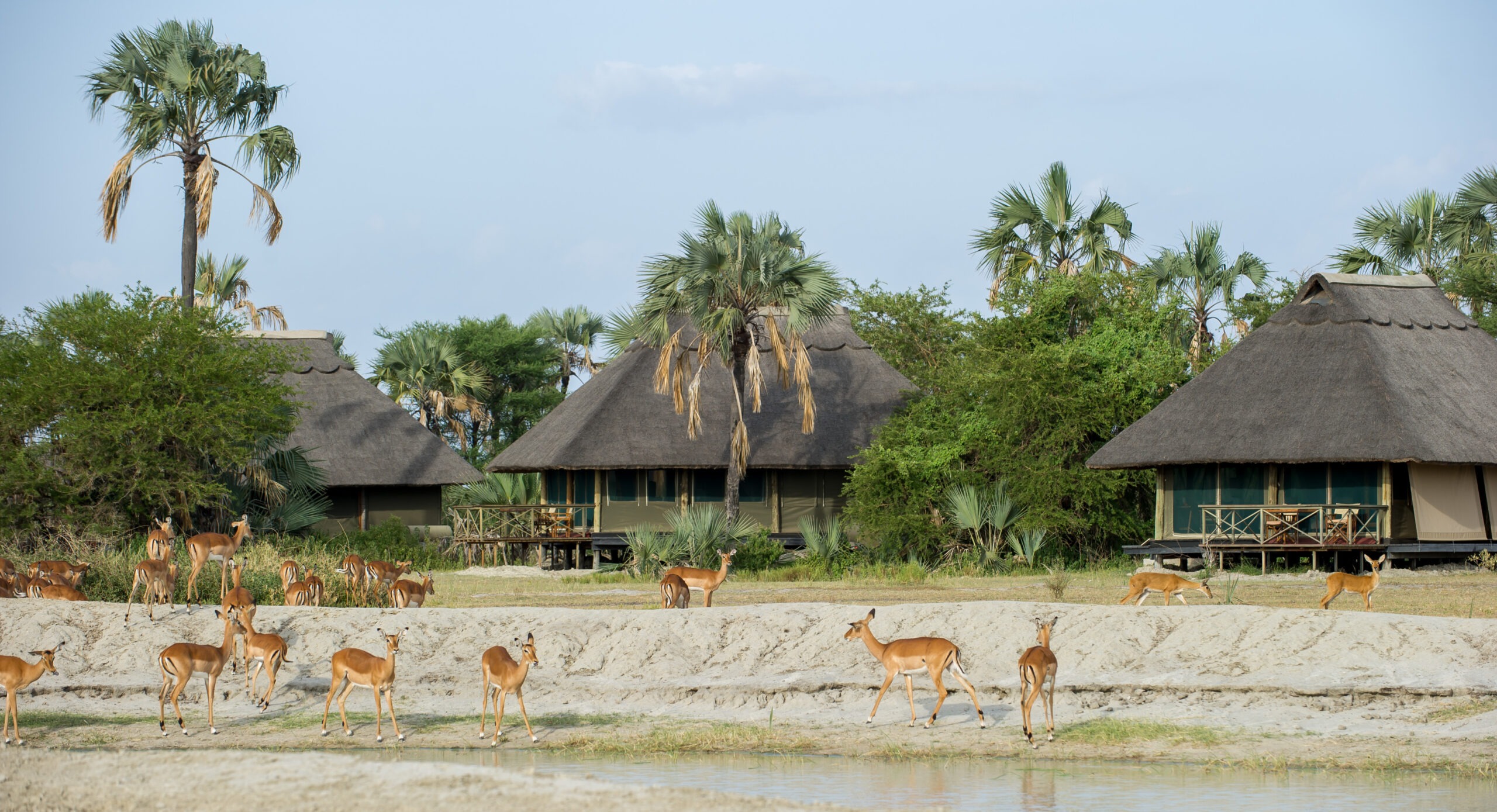
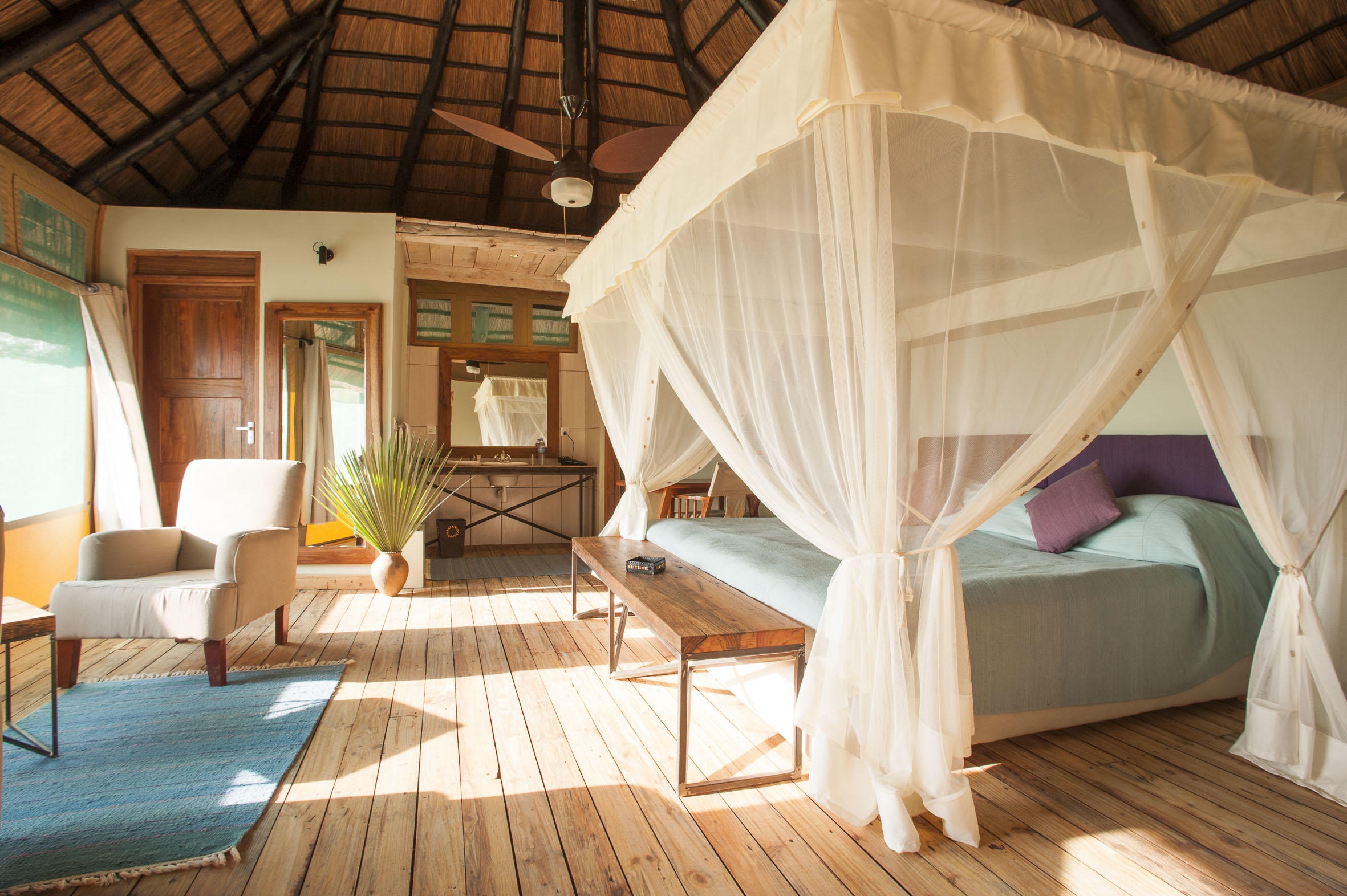
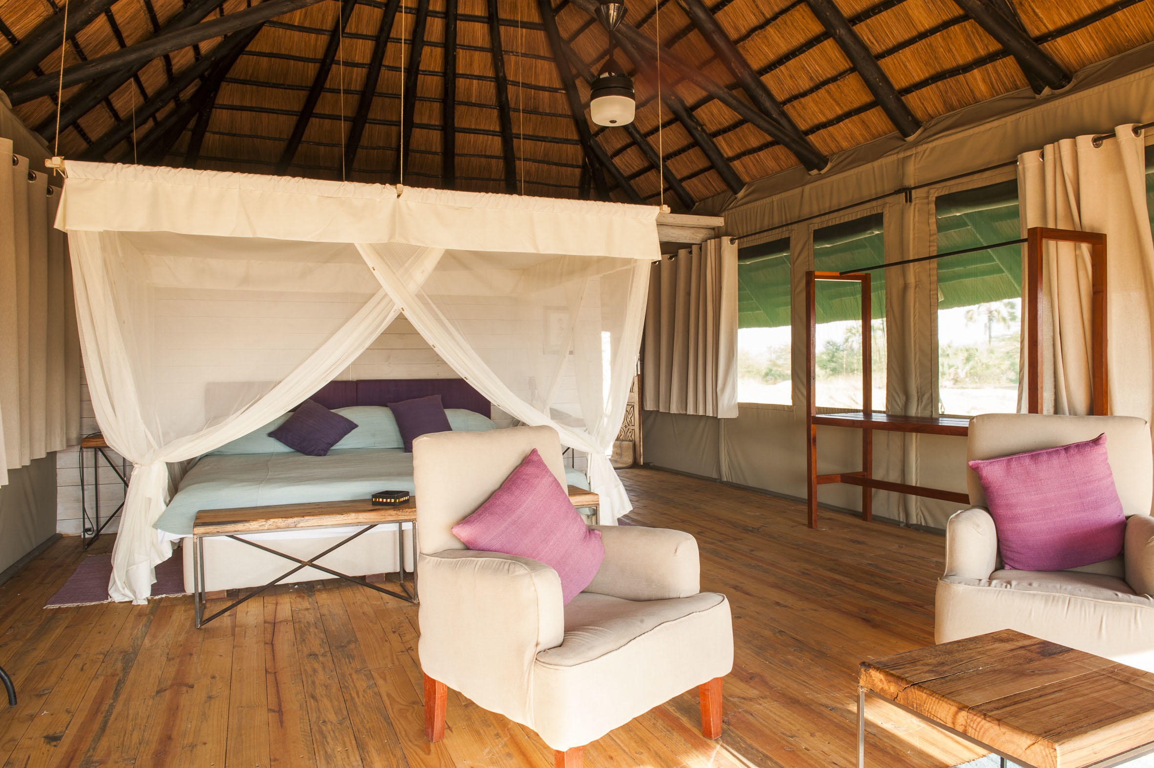
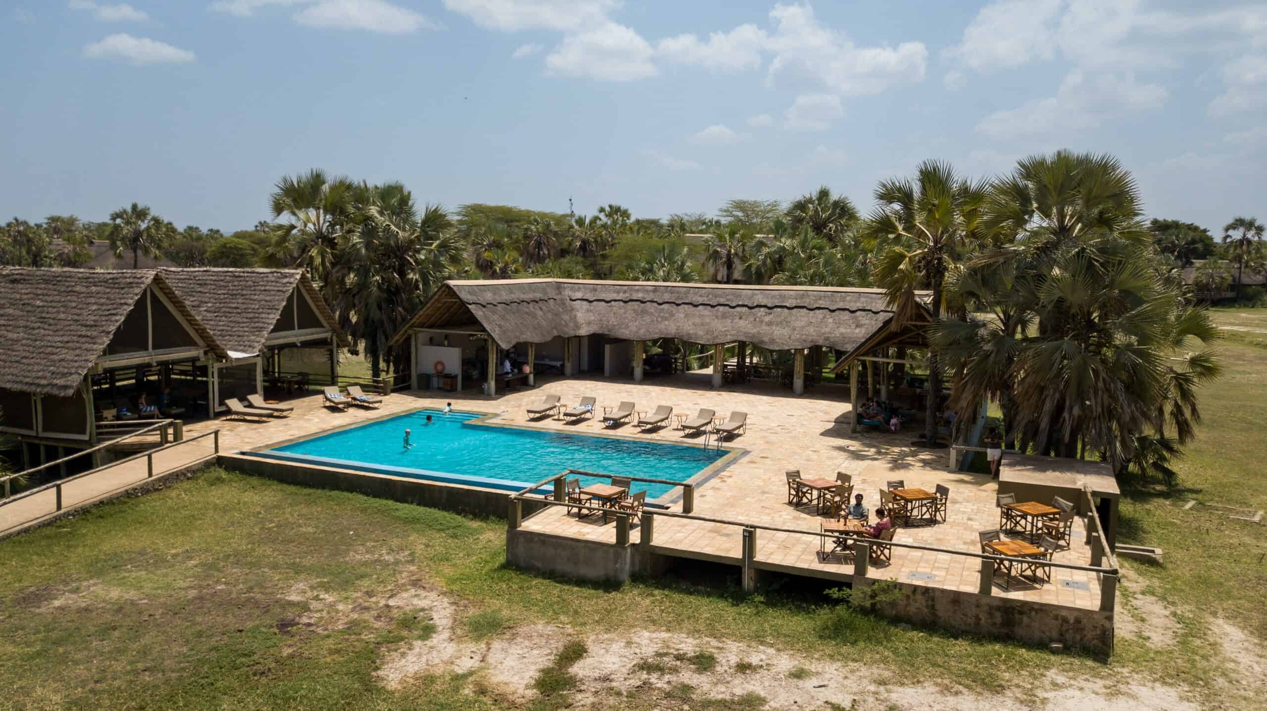
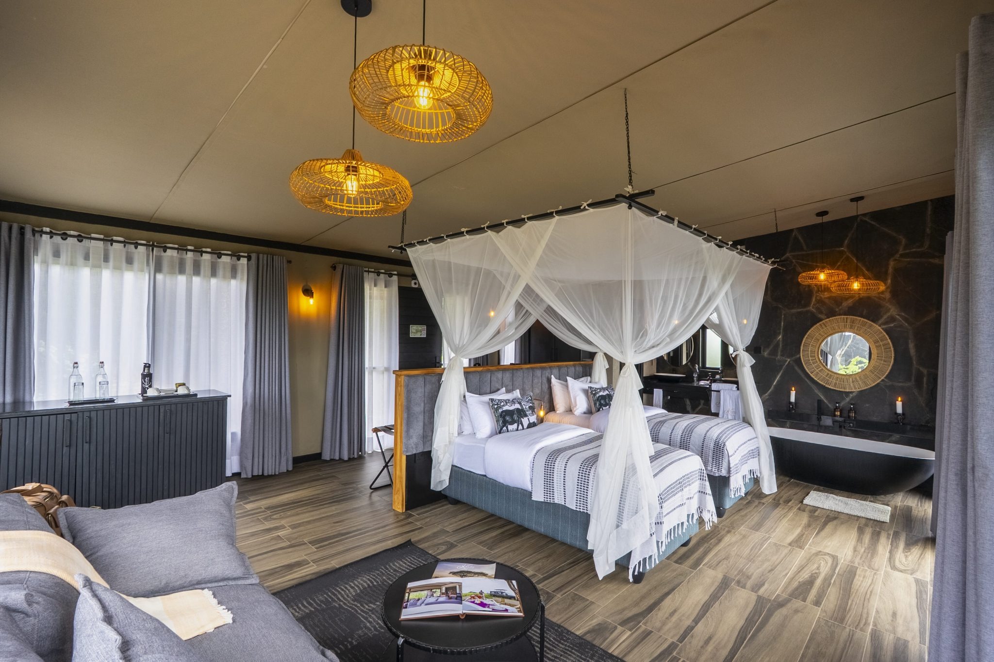
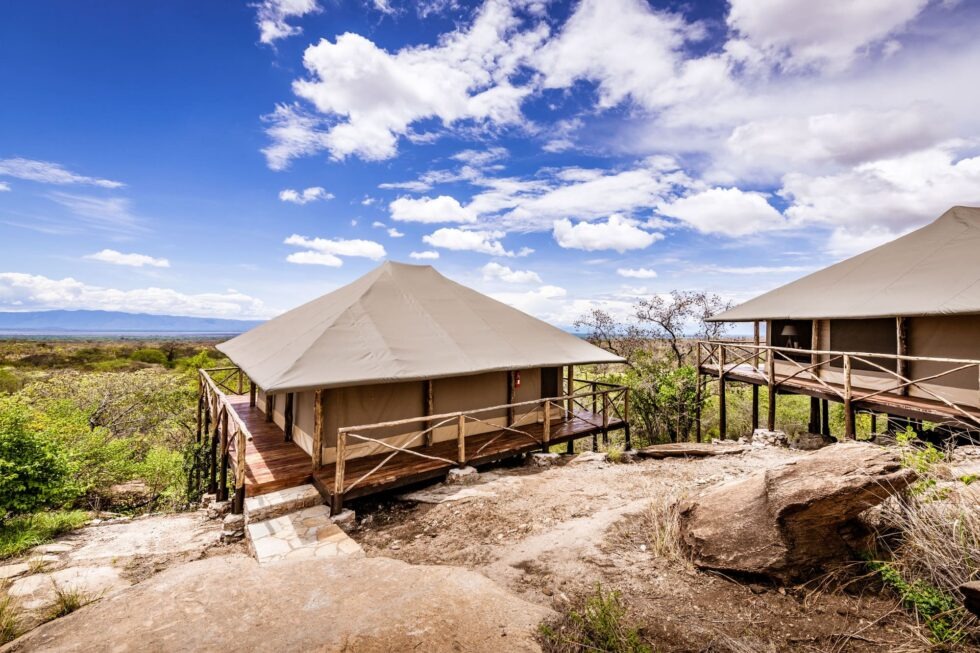
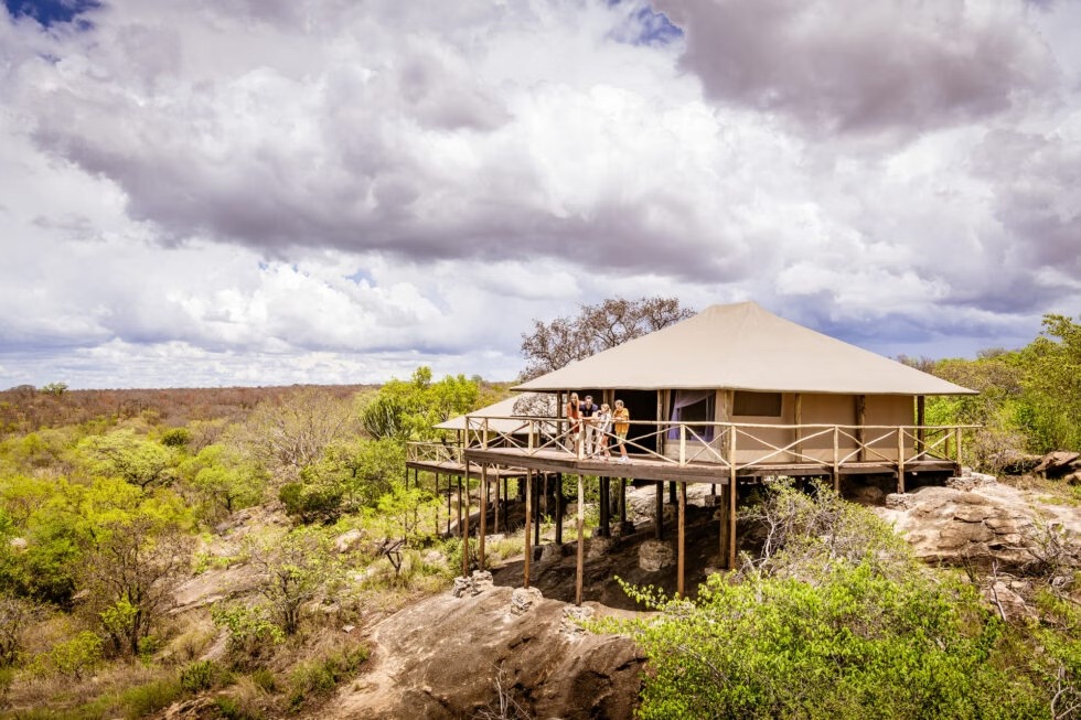
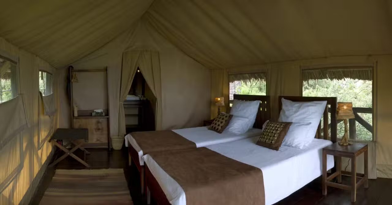
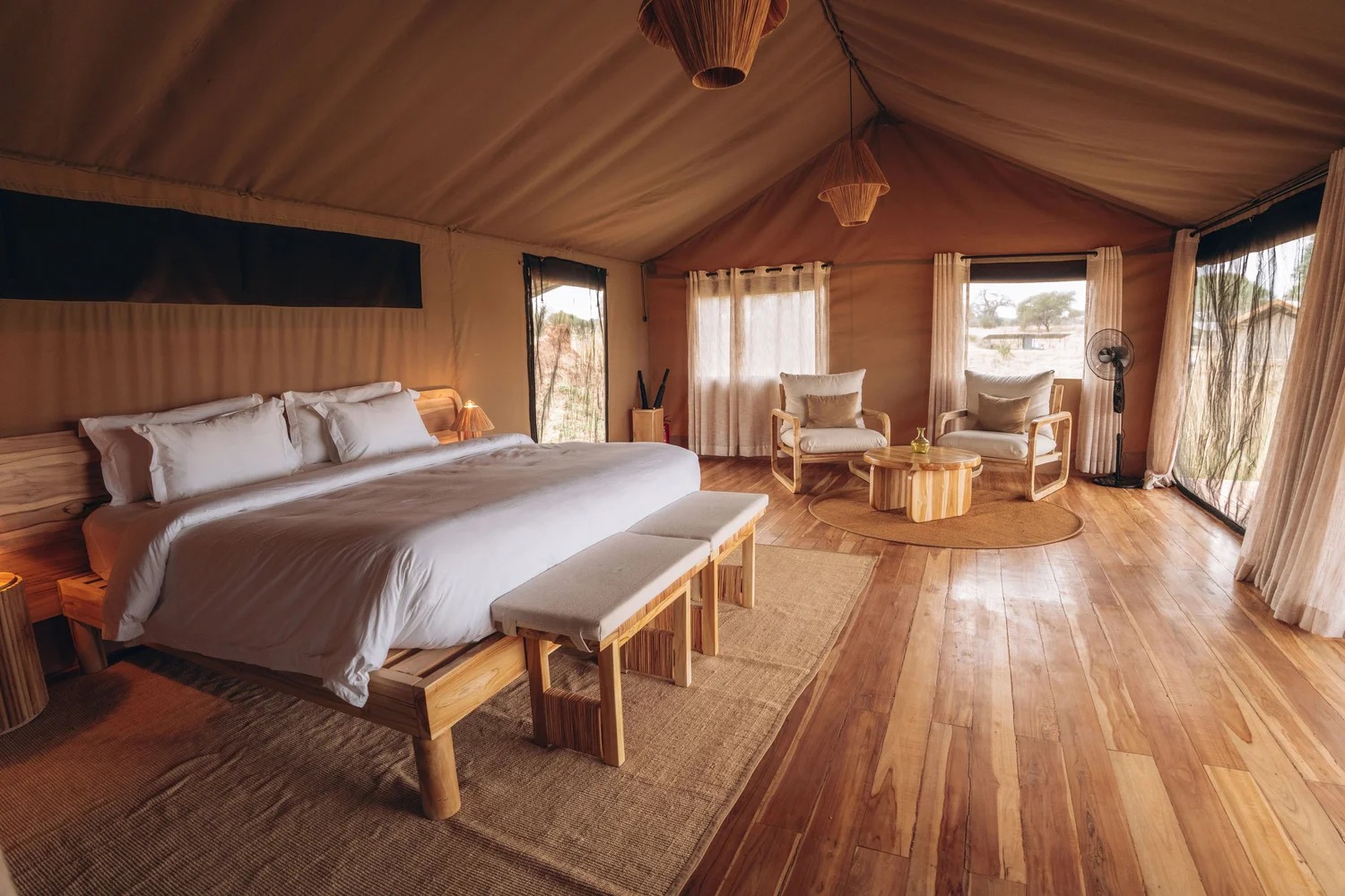
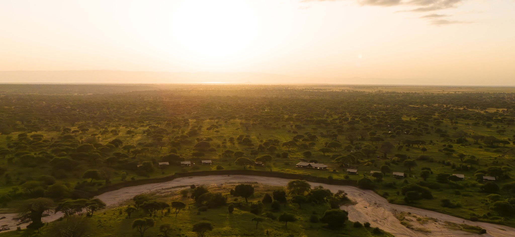
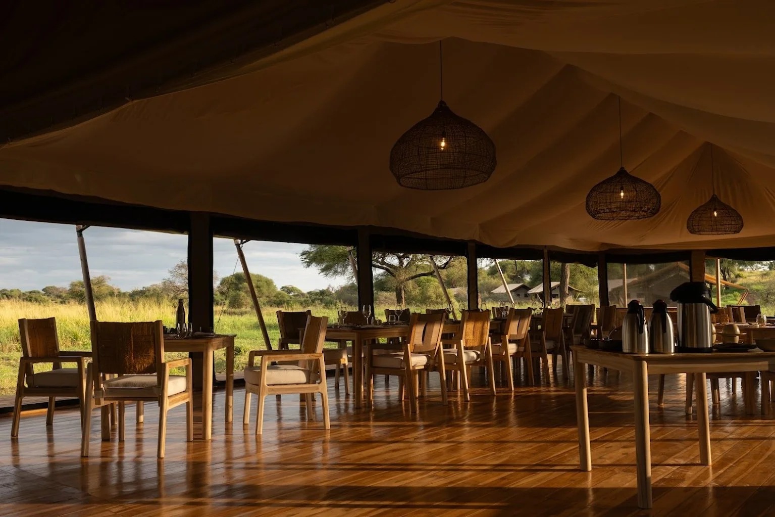
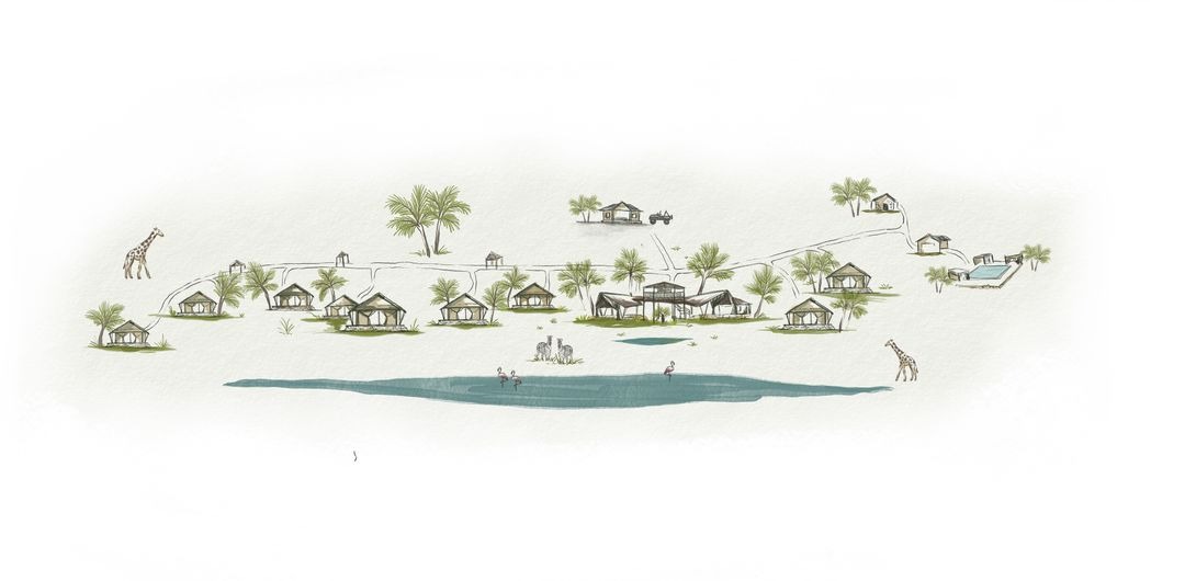
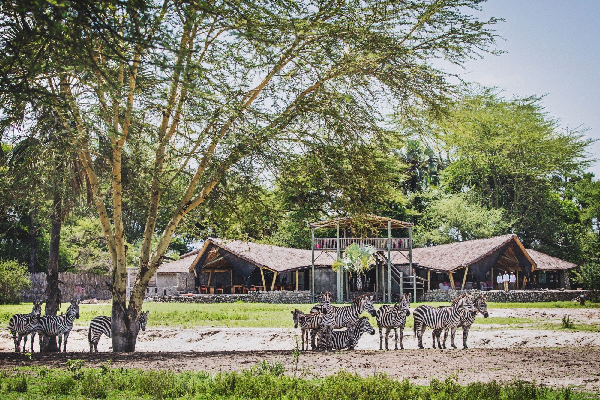
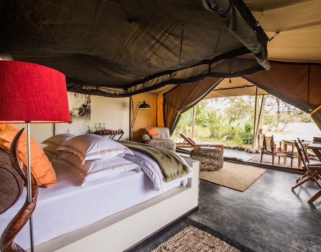
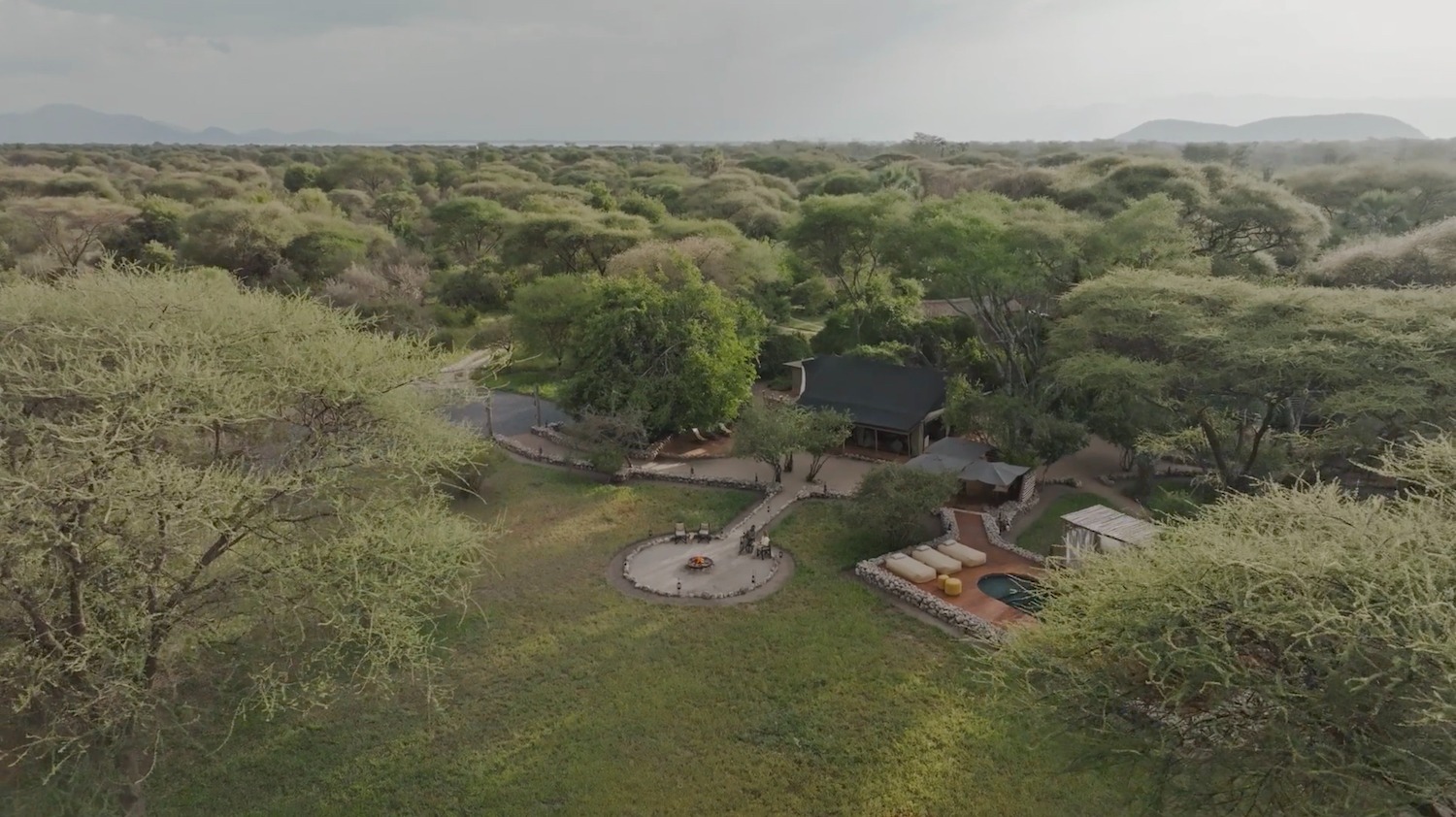
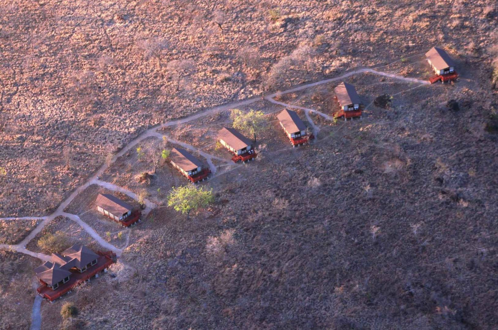
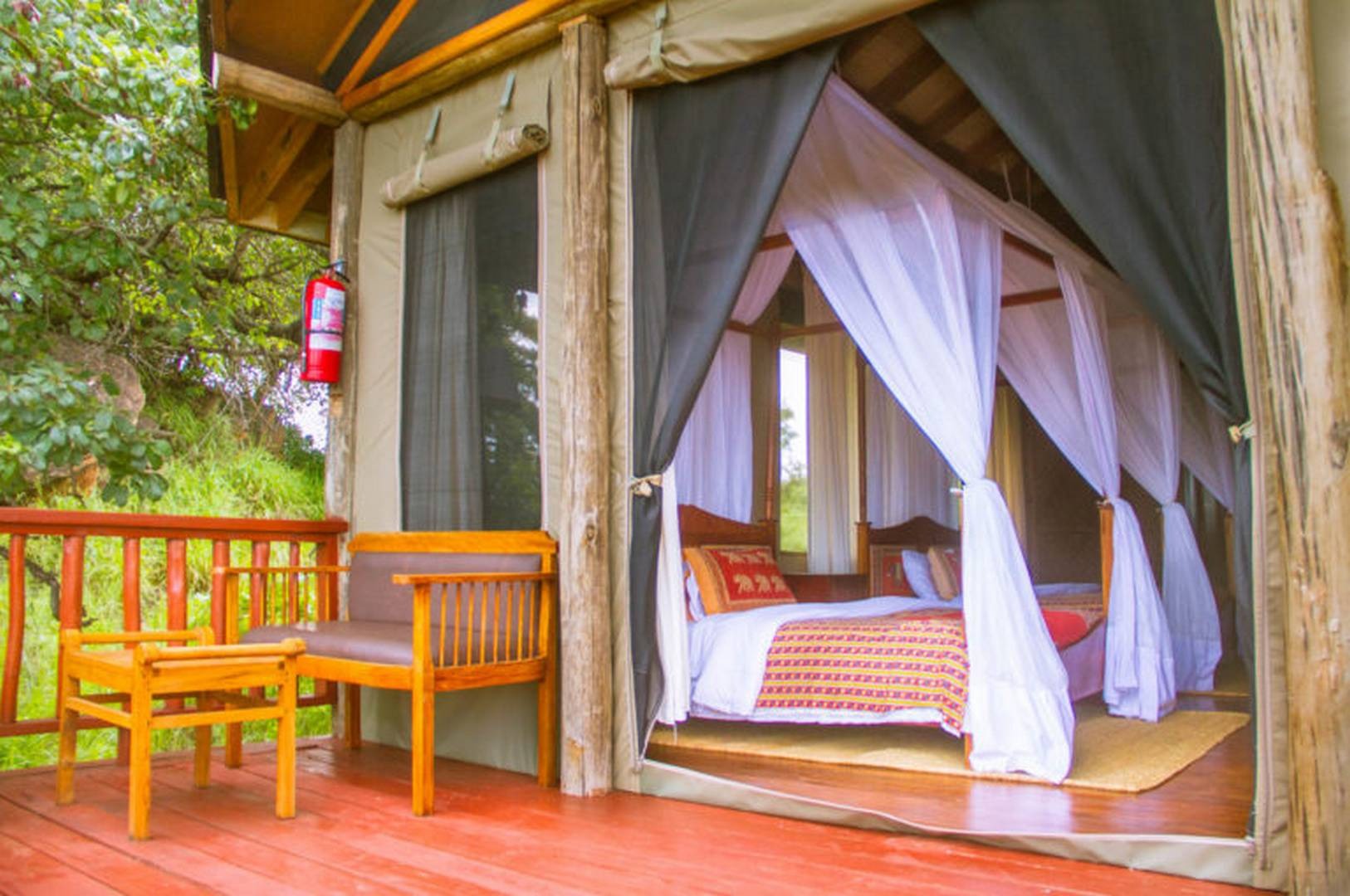
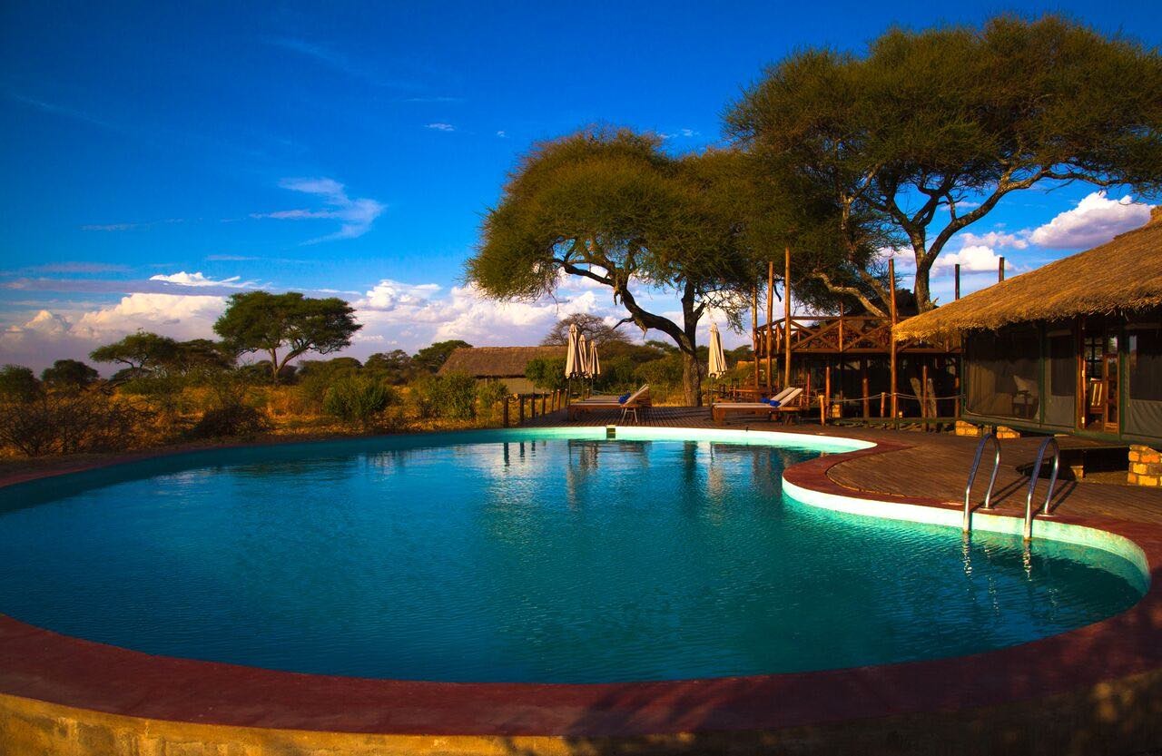
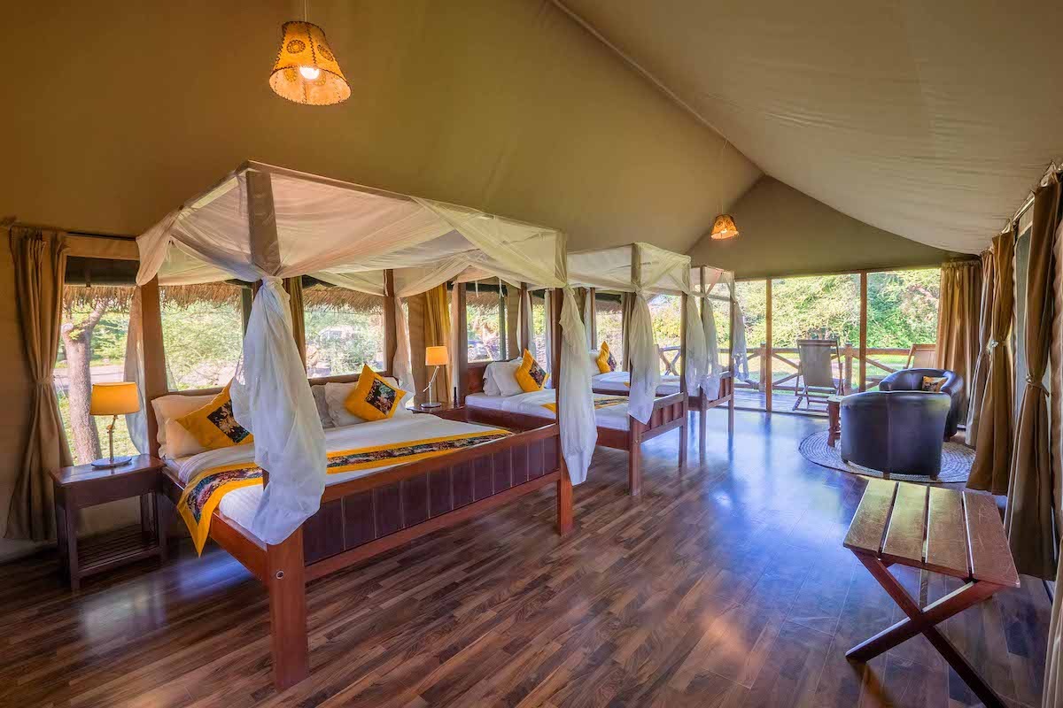
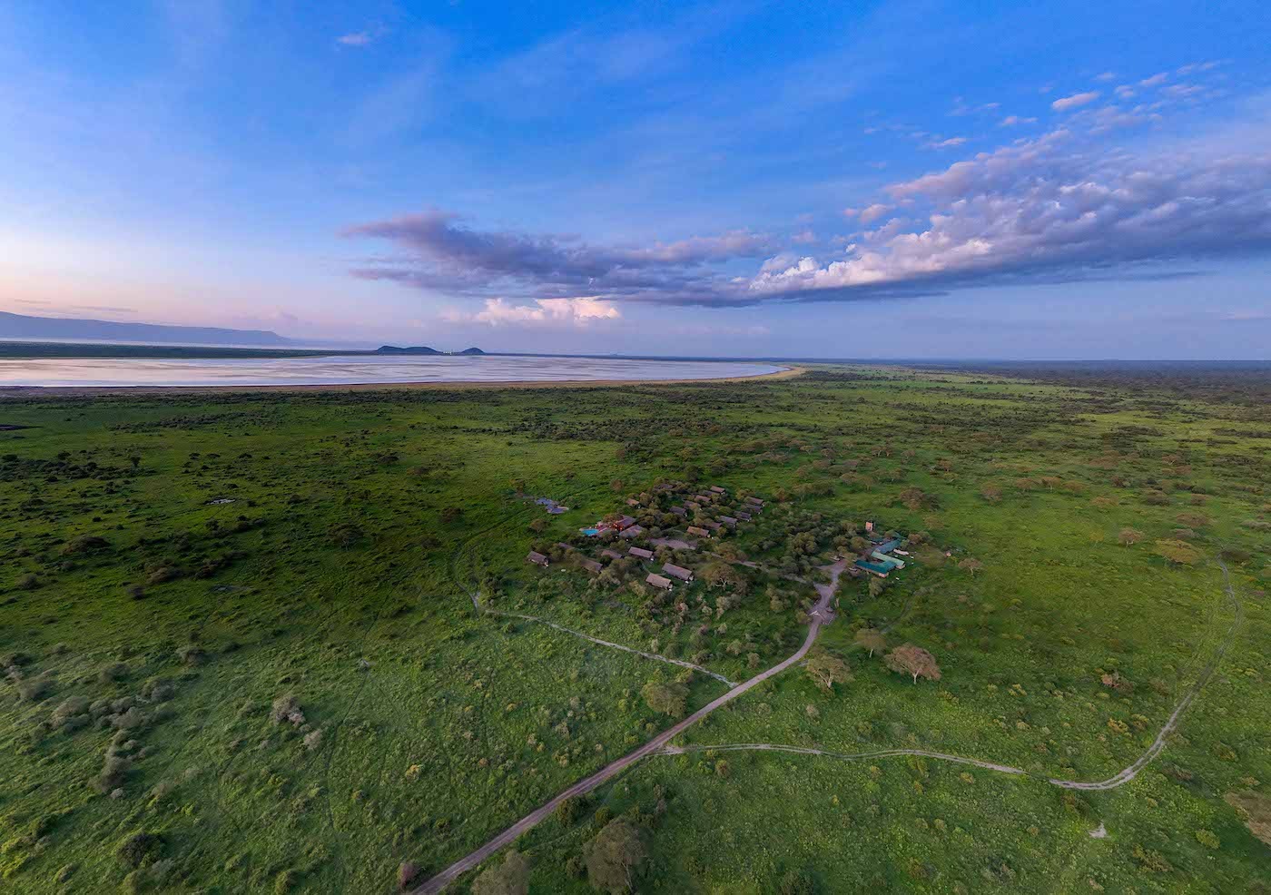
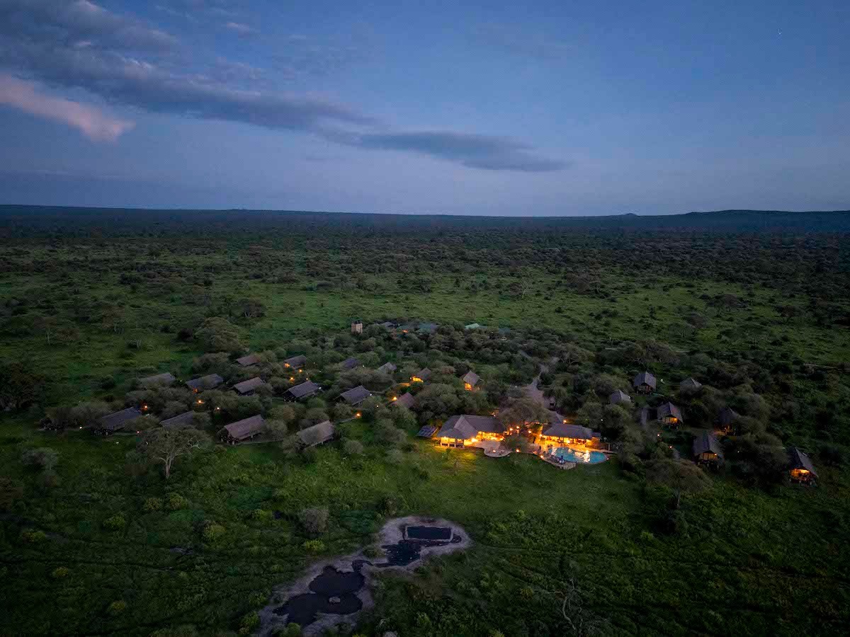
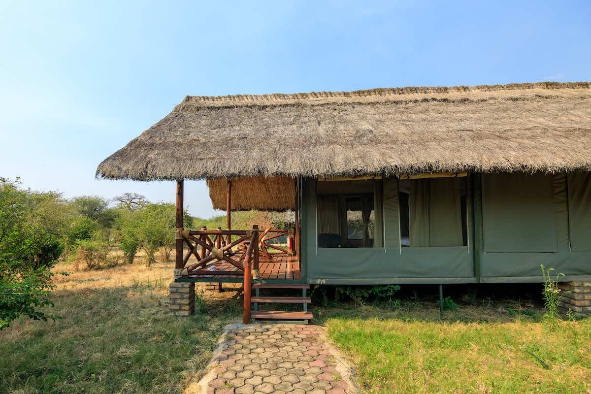
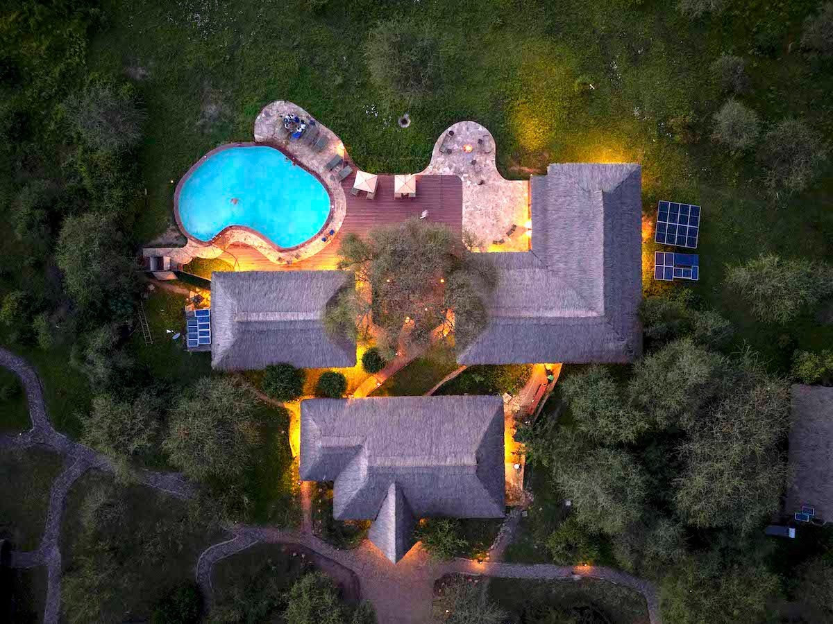
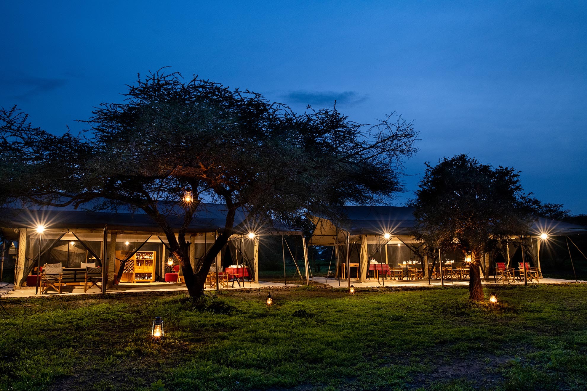
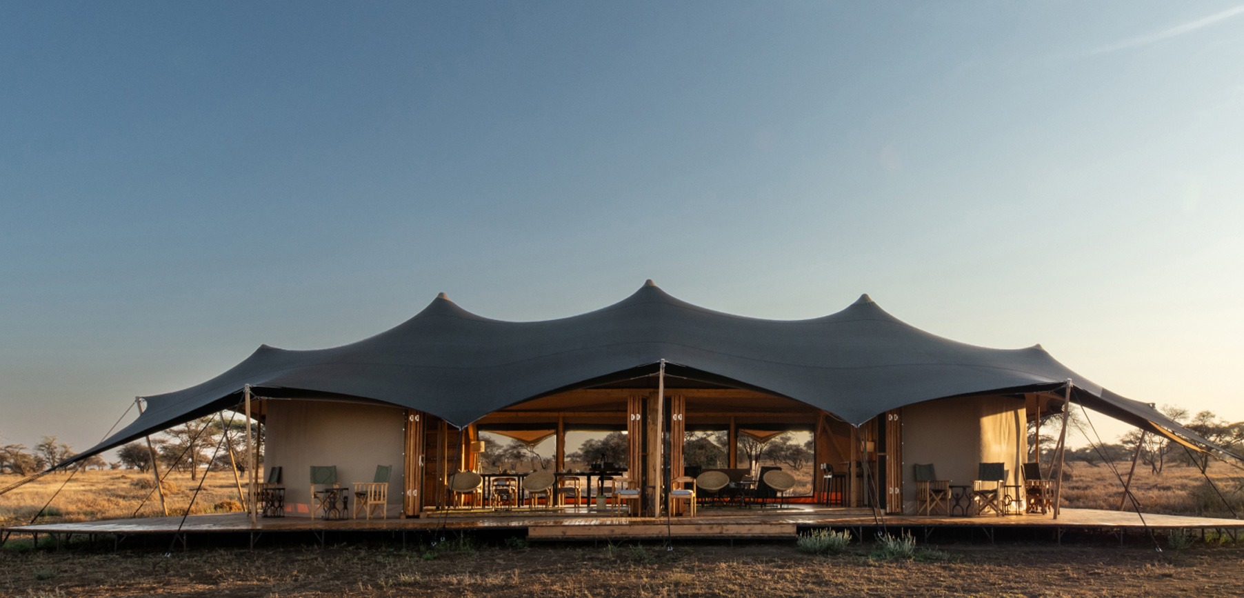
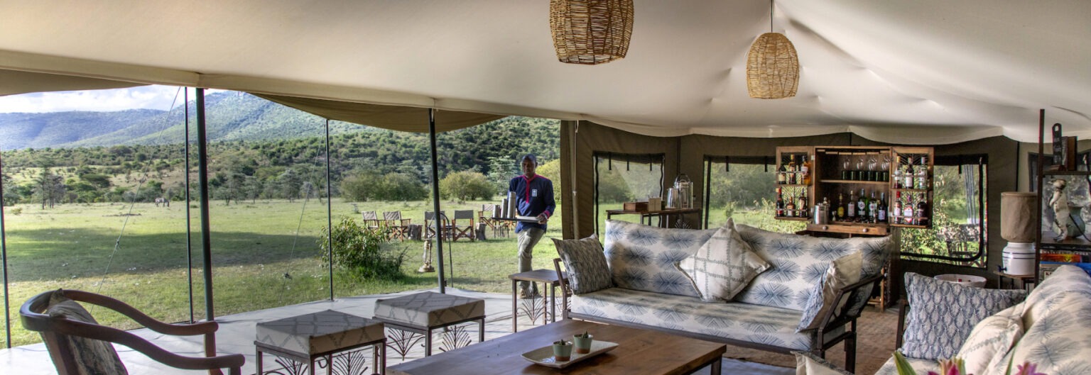
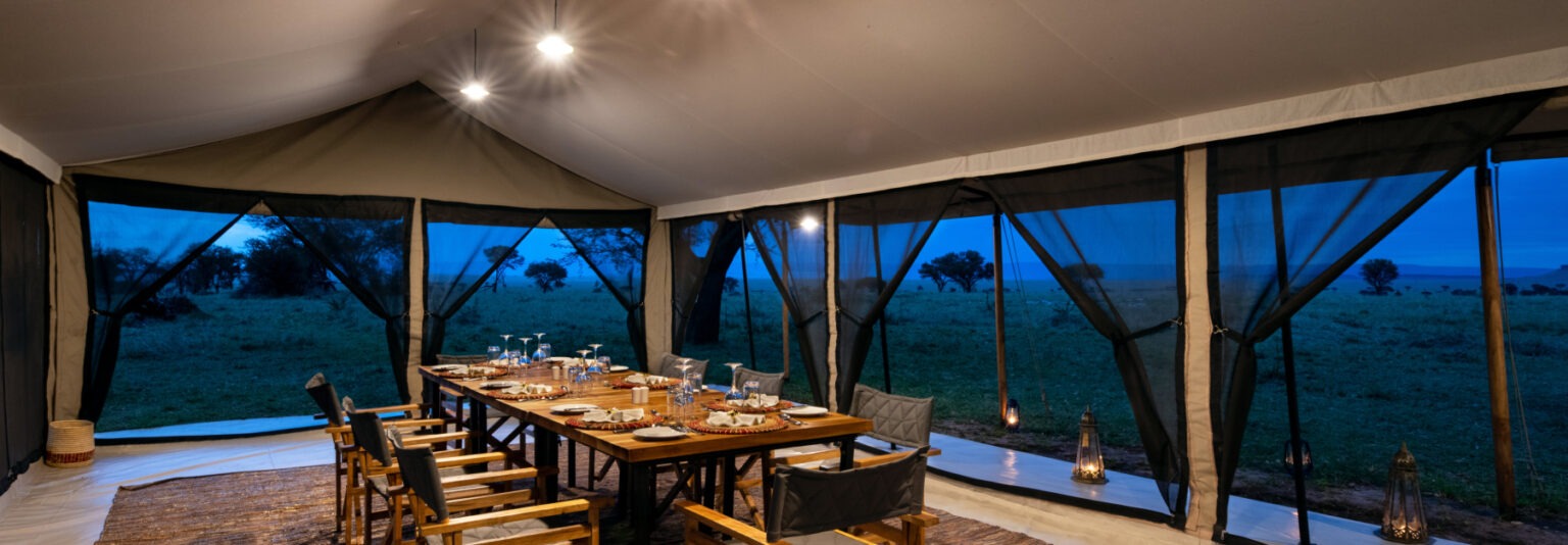
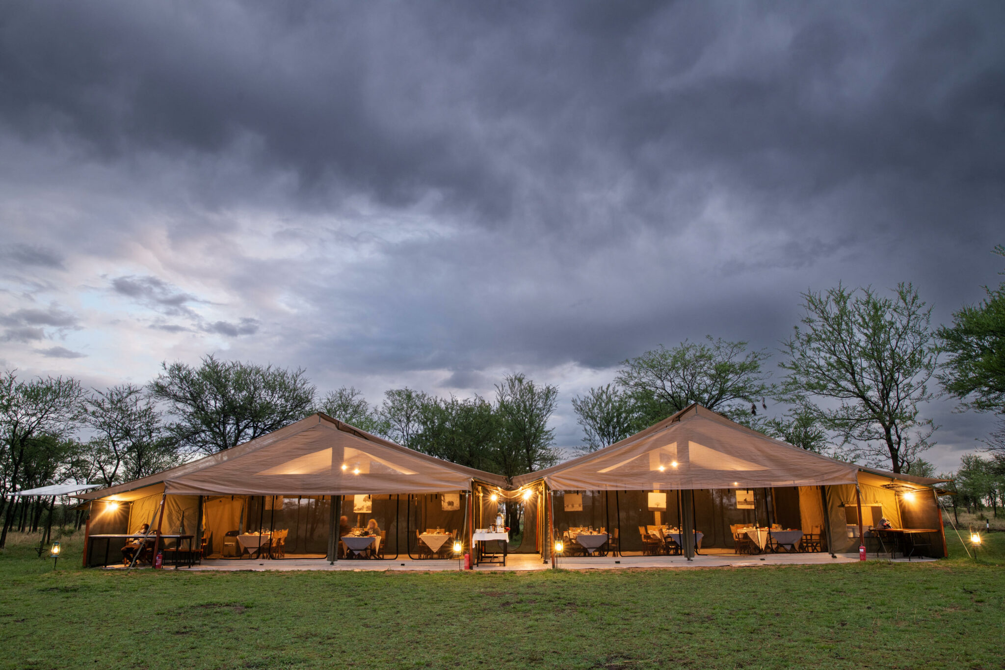
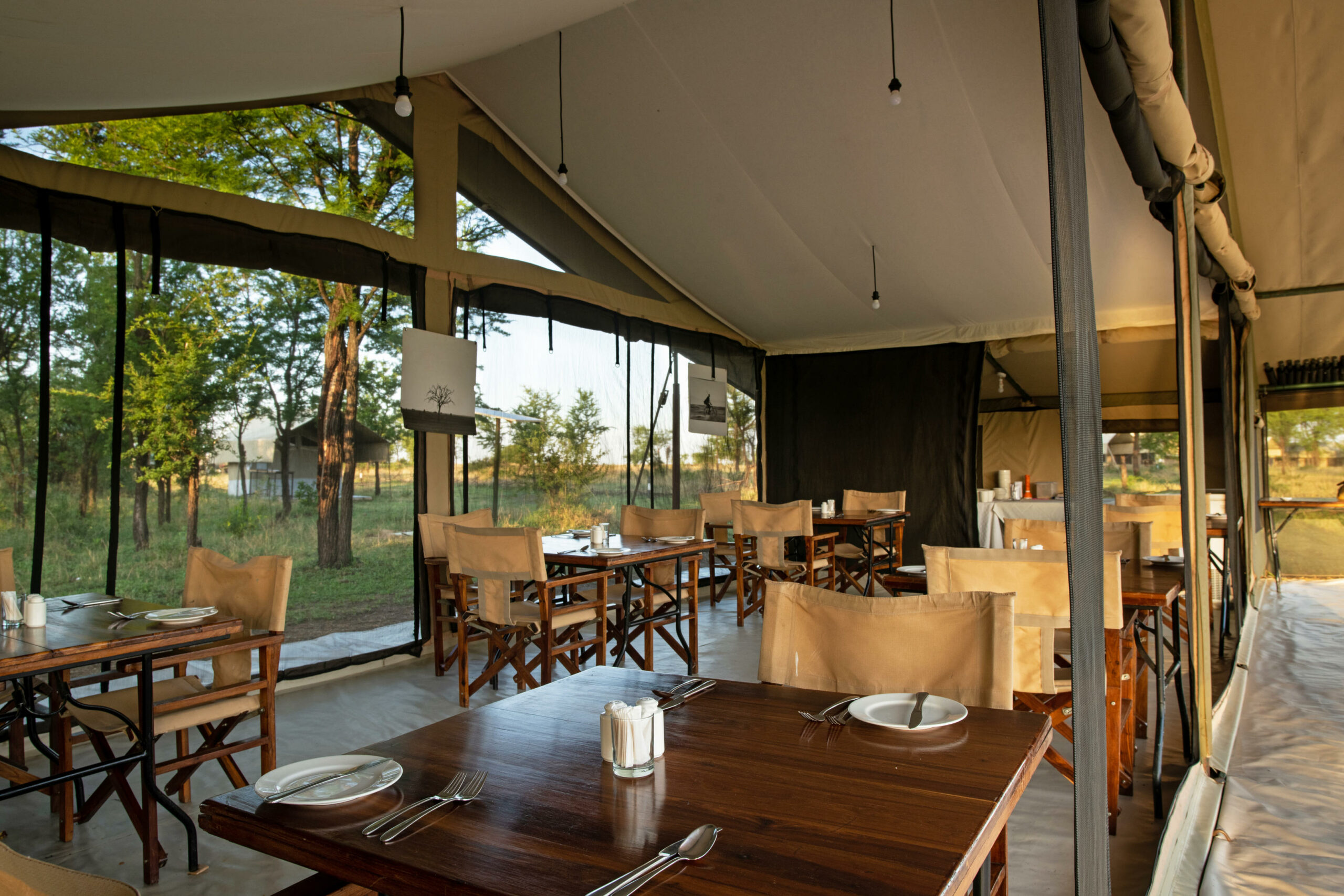
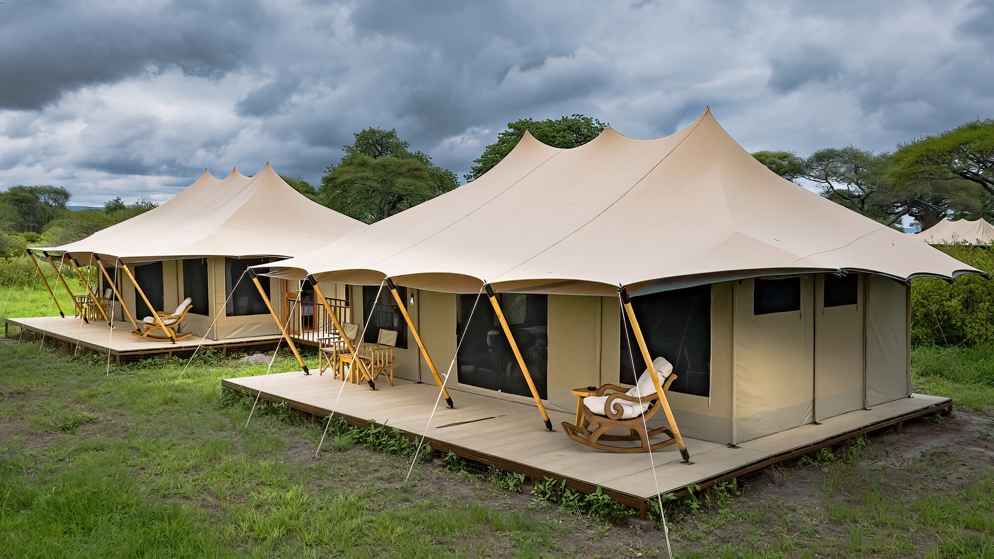
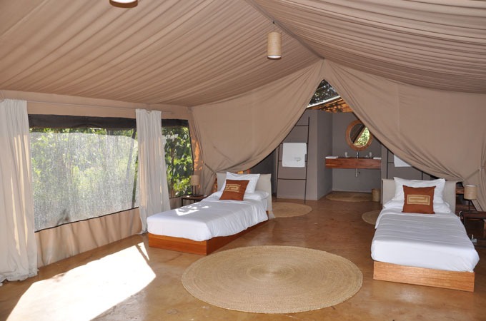
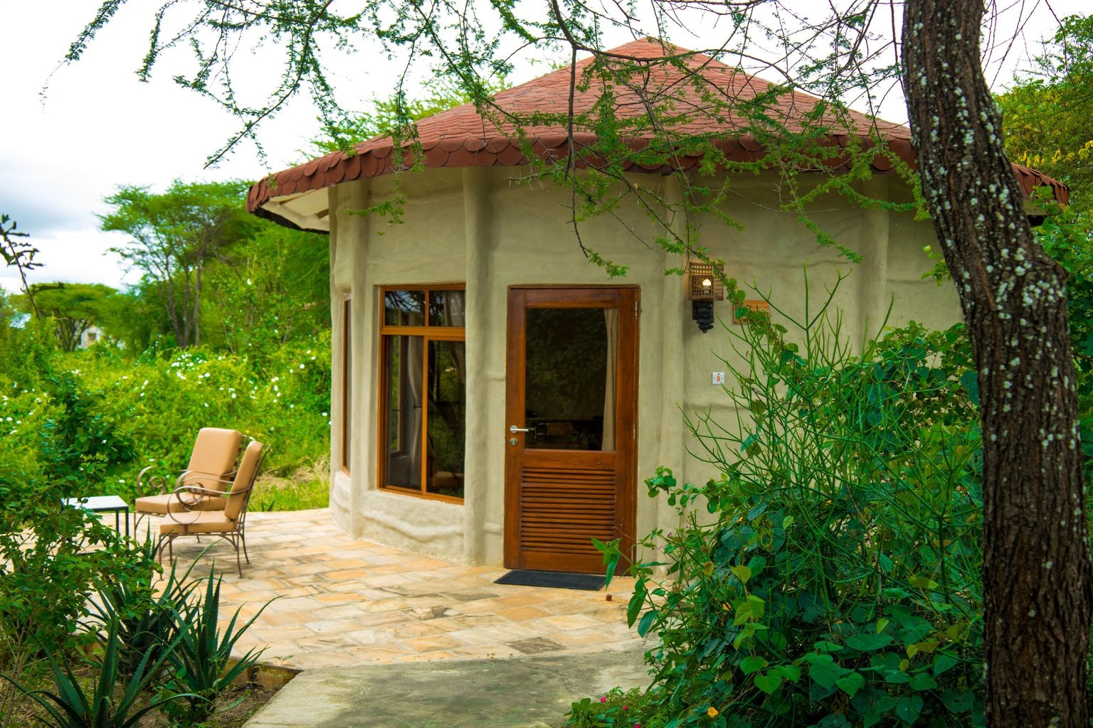
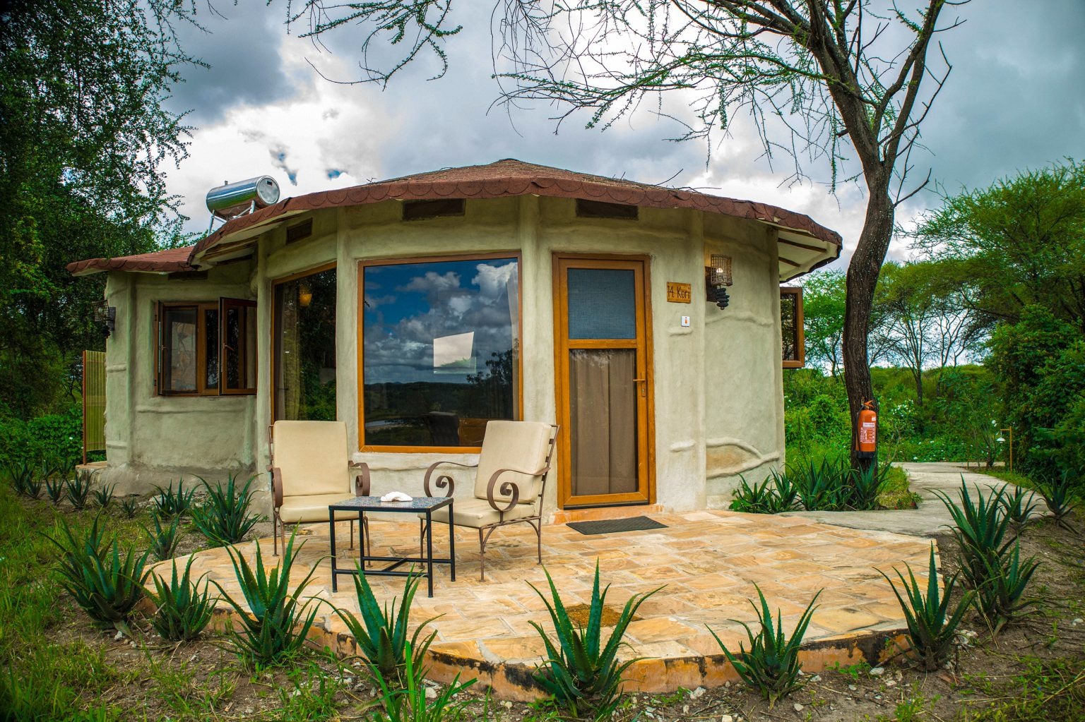
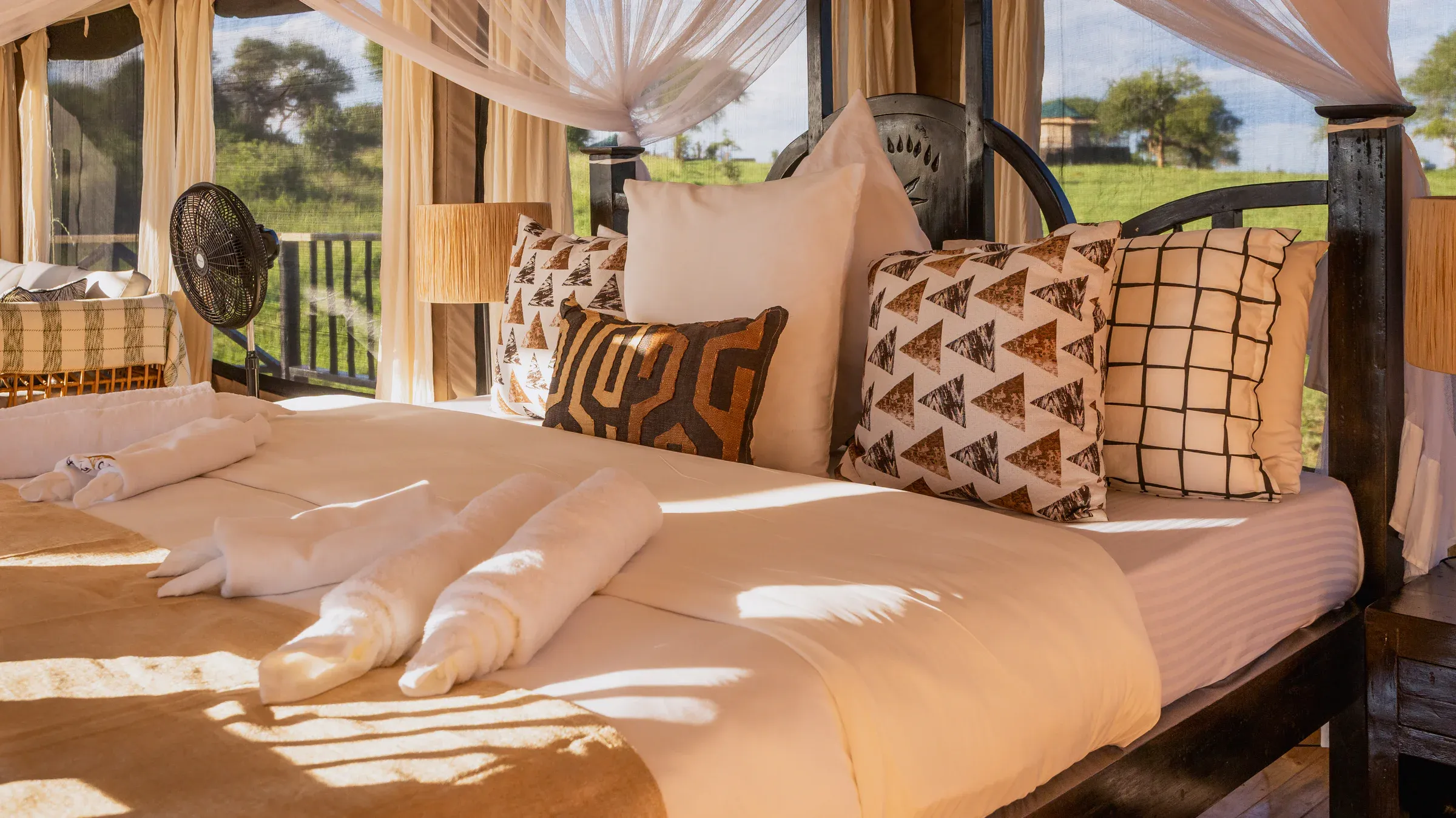
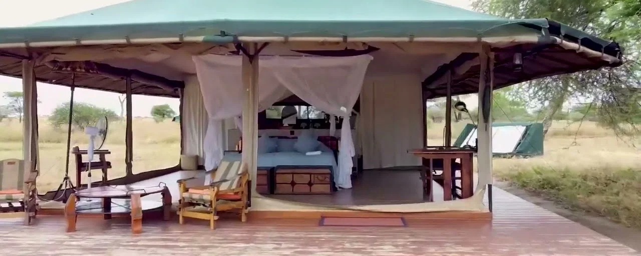
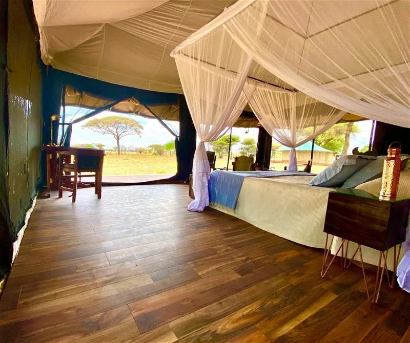
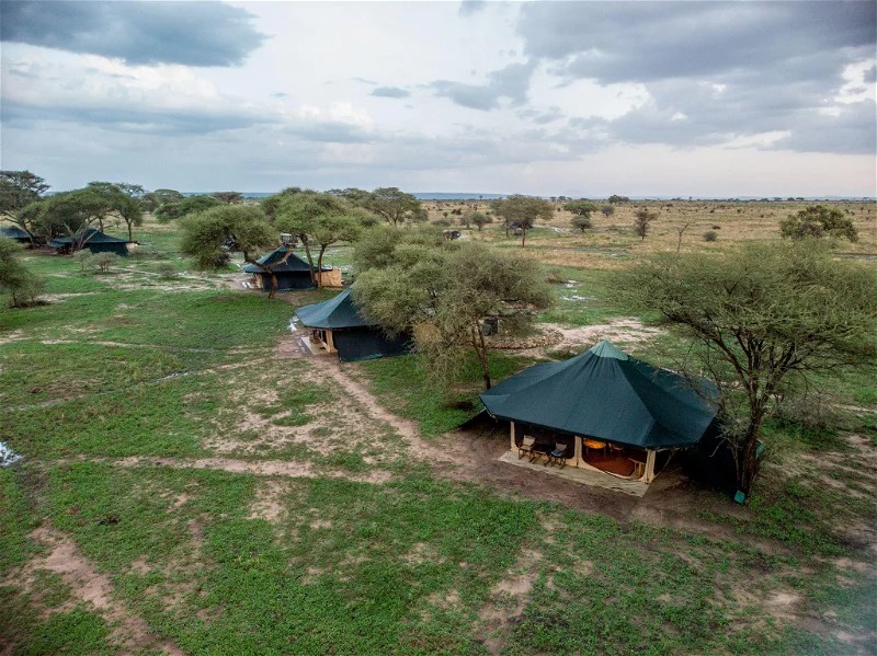
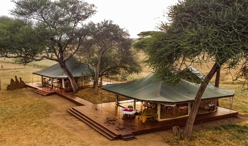
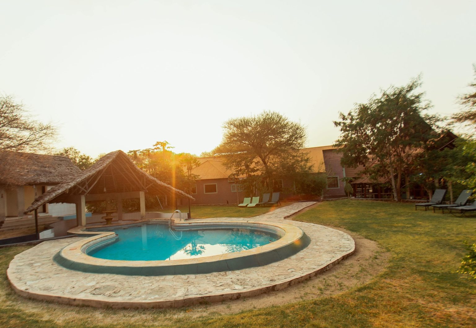
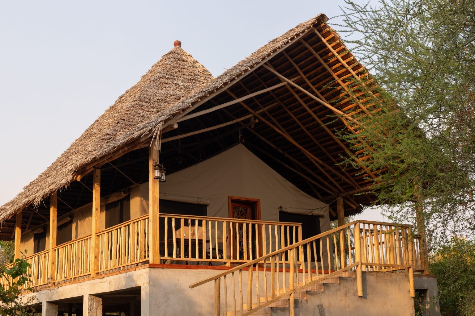
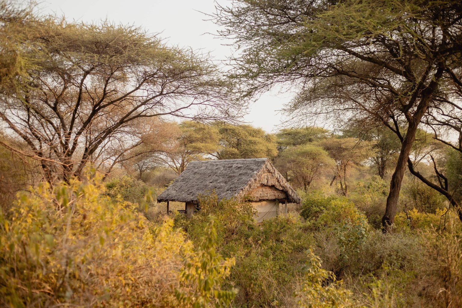
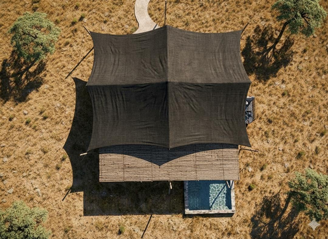
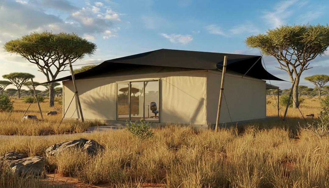
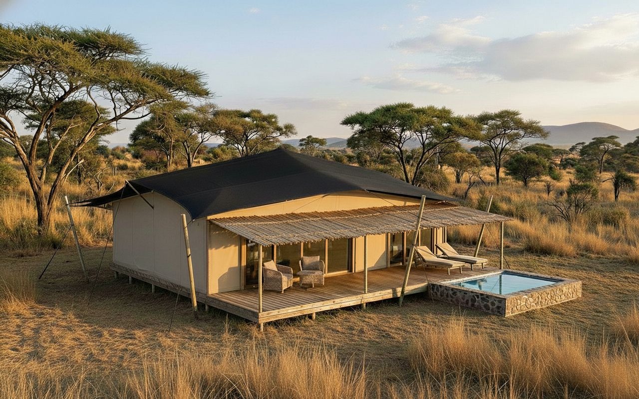
A List of all accommodations in Tarangire
A List of all accommodations in Tarangire
| Lodge-Camps | In a Nutshell | Full Description |
|---|---|---|
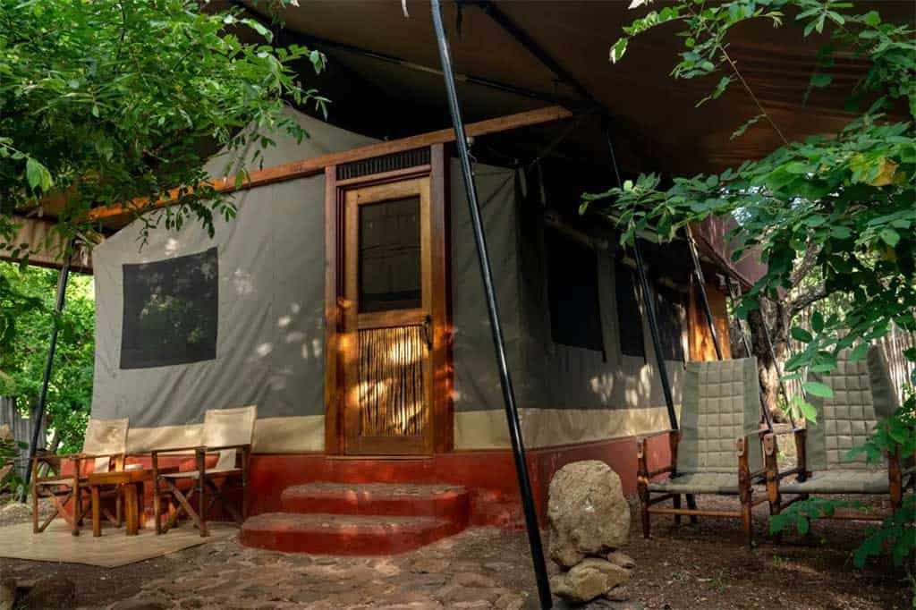
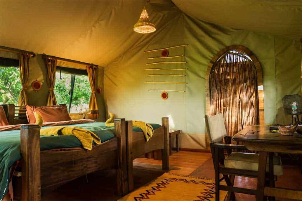
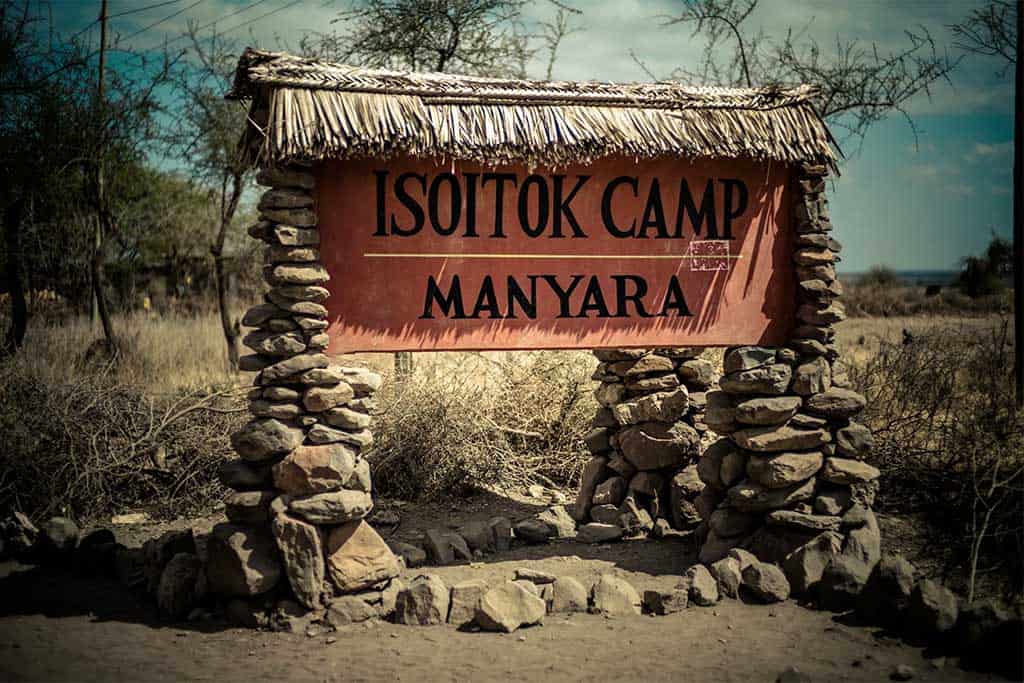
| Authentic Old‑School Bush & Pioneer Camps
| ||
A small, classic tented camp under acacia trees, offering a simple bush experience. | Located between Makuyuni and Mto wa Mbu, Isoitok has just a handful of canvas tents with en‑suite bucket showers. It’s a no‑frills, authentic camp for safari purists. | |
Mid-range: The solid mid‑range base in the south. [Inside (South)] | A reliable mobile tented facility with a friendly atmosphere, giving you access to the same quiet southern wilderness as the luxury camps but at a fraction of the price. | |
Mid-range: The well‑priced mobile camp in the remote south. [Inside (South)] | A seasonal tented camp that moves with the wildlife, offering simple comfort and excellent guiding in the park’s less crowded southern sector—perfect for those who value game viewing over frills. | |
Luxury: The safari purist’s paradise. [Inside (South)] | With only six tents in a prime southern location, it strips away distractions to focus on what matters: exceptional guiding, close wildlife encounters, and an authentic bush vibe. | |
Mid-range: The mobile camp in the rolling grasslands. [Northeast of park] | A small tented camp in the northeastern grasslands, offering a genuine mobile safari experience with a focus on the open plains and the elephant herds that gather there seasonally. | |
Budget/Mid: The authentic, old‑school bush experience with a river view. [Inside (Center)] | The “Old Faithful” of Tarangire—simple, unfussy, and unbeatable. Sit on the stone terrace and watch elephant herds parade along the river below. | |
Luxury: The authentic, old‑school bush pioneer. [Inside (South)] | A gold standard for walking safaris and raw wilderness, where bucket showers and highly trained guides deliver the classic safari experience that seasoned travelers seek. | |
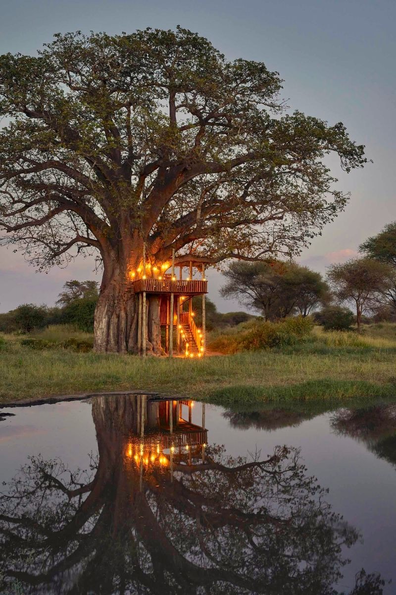
| Once‑in‑a‑Lifetime Architectural & Treehouse Marvels
| ||
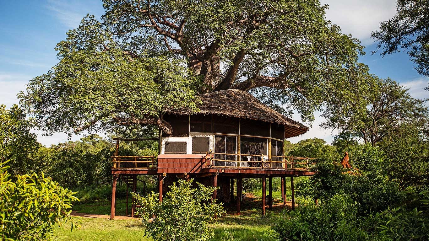
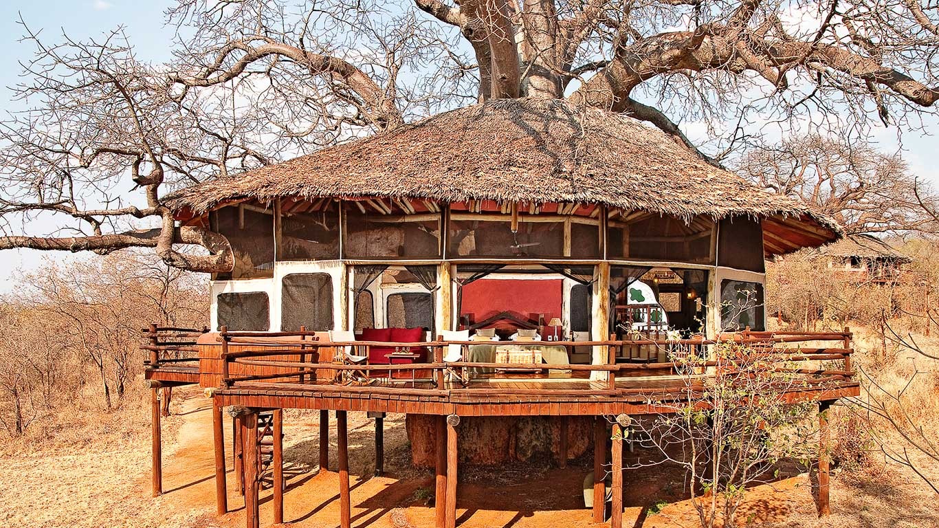
Luxury: The once‑in‑a‑lifetime architectural marvel. [Randilen WMA] | A childhood dream made real: rooms woven into ancient baobabs, a main lodge encircling a 1,000‑year‑old tree, and the magic of falling asleep among the branches with the sounds of the bush below. | |
Luxury: The eco‑chic hideaway in a remote corner. [Inside (South‑West)] | Tucked in the less‑visited southern sector, this camp combines lavish tents with a deep commitment to conservation, offering true solitude beside a wildlife‑frequented waterhole. | |
Luxury: The contemporary designer hideout with a waterhole view. [Lolkisale Conservancy] | Fusing modern architecture with the tented safari tradition, it features a pool overlooking a busy waterhole—and a secret underground hide for eye‑level wildlife photography. | |
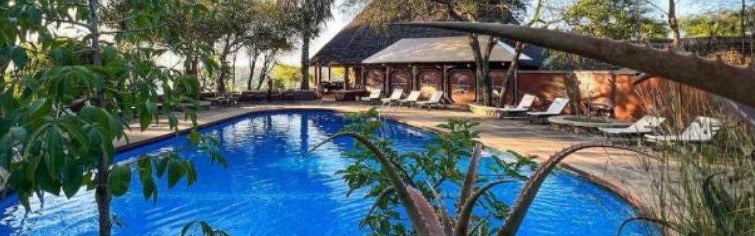
| Resort‑Like & Family‑Friendly Retreats
| ||
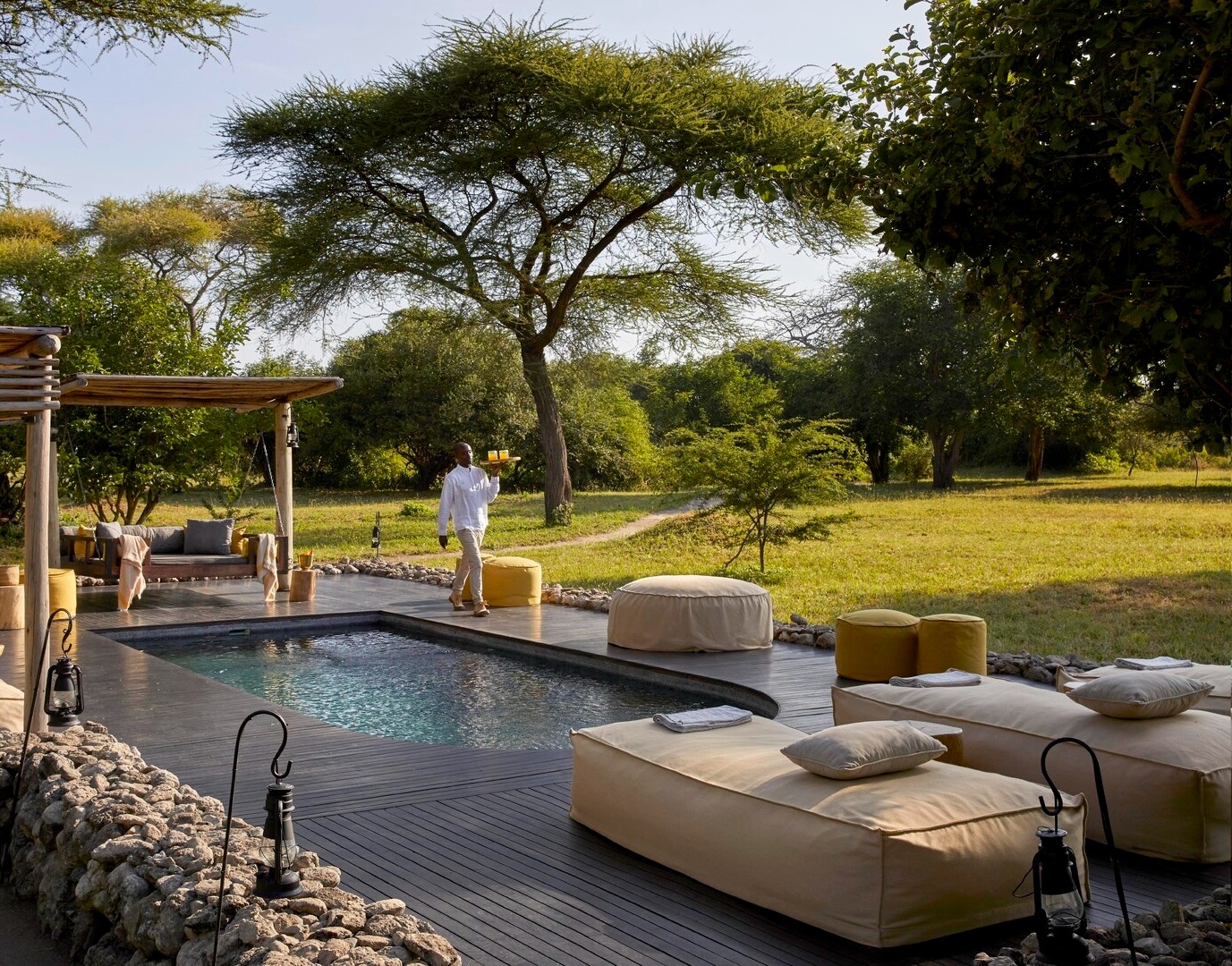
Budget/Mid: The value‑friendly base with lake views. [Near Lake Burunge} | A large, lively camp outside the park where you can enjoy infinity pools, night drives, and walking safaris without the price tag of a luxury lodge. | |
Budget/Mid: The mid‑range riverfront option. [Near Lake Burunge] | A relatively large camp set along the Tarangire River outside the park, offering good value, a swimming pool, and a relaxing atmosphere for those who prefer a quieter stretch of water before entering the main reserve. | |
Budget/Mid: The reliable, resort‑style comfort for families and groups. [Mawe Ninga area] | A sprawling, 75‑room lodge with spacious grounds, a swimming pool, and staff who break into song at dinner—a classic choice for those who value consistency and space. | |
Mid-Range: The resort‑like atmosphere with a poolside zebra view. [Outside (Manyara)] | Lively, family‑friendly, and set on the shores of Lake Manyara, it’s the place where you can lounge by a massive pool while zebras graze right outside your tent. | |
| Luxury with Sweeping Views & Private Decks
| ||
Luxury: The modern luxury camp with a front‑row seat. [Inside Central] | A newer option where contemporary suites and a rim‑flow pool put you within arm’s reach of elephants that come to drink at the nearby spring. | |
Mid-Range: The secluded kopje escape with sweeping views. [Inside (West)] | A smaller, quieter annex to Mawe Ninga, perched on its own granite outcrop—ideal for travelers who want dramatic scenery and a sense of isolation without moving far from the game‑rich western plains. | |
Mid-Range: The dramatic kopje hideout. [Inside (West)] | Perched atop ancient granite boulders, this camp delivers one of the park’s most spectacular settings—perfect for those who want a mid‑range camp without compromising on location. | |
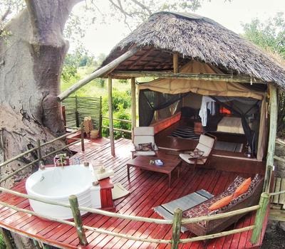
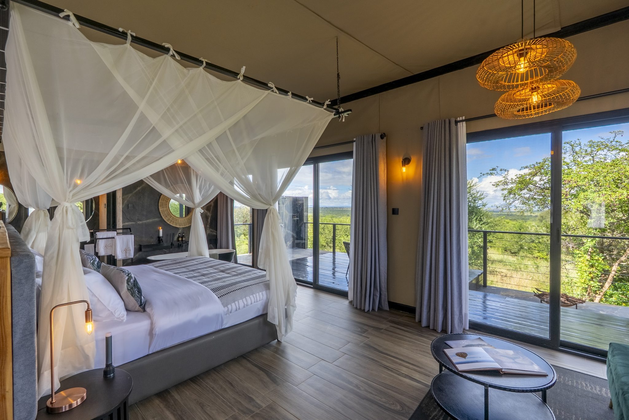
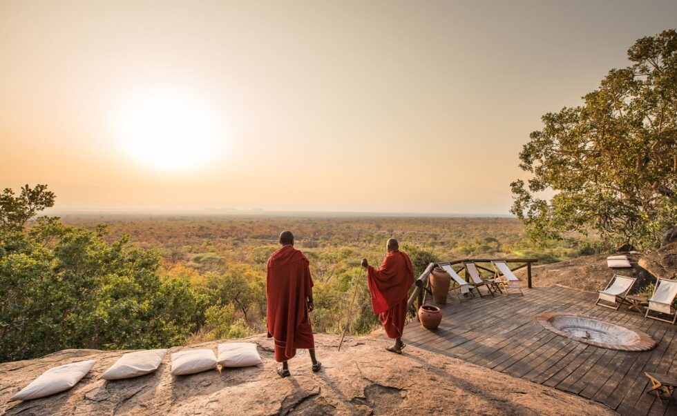
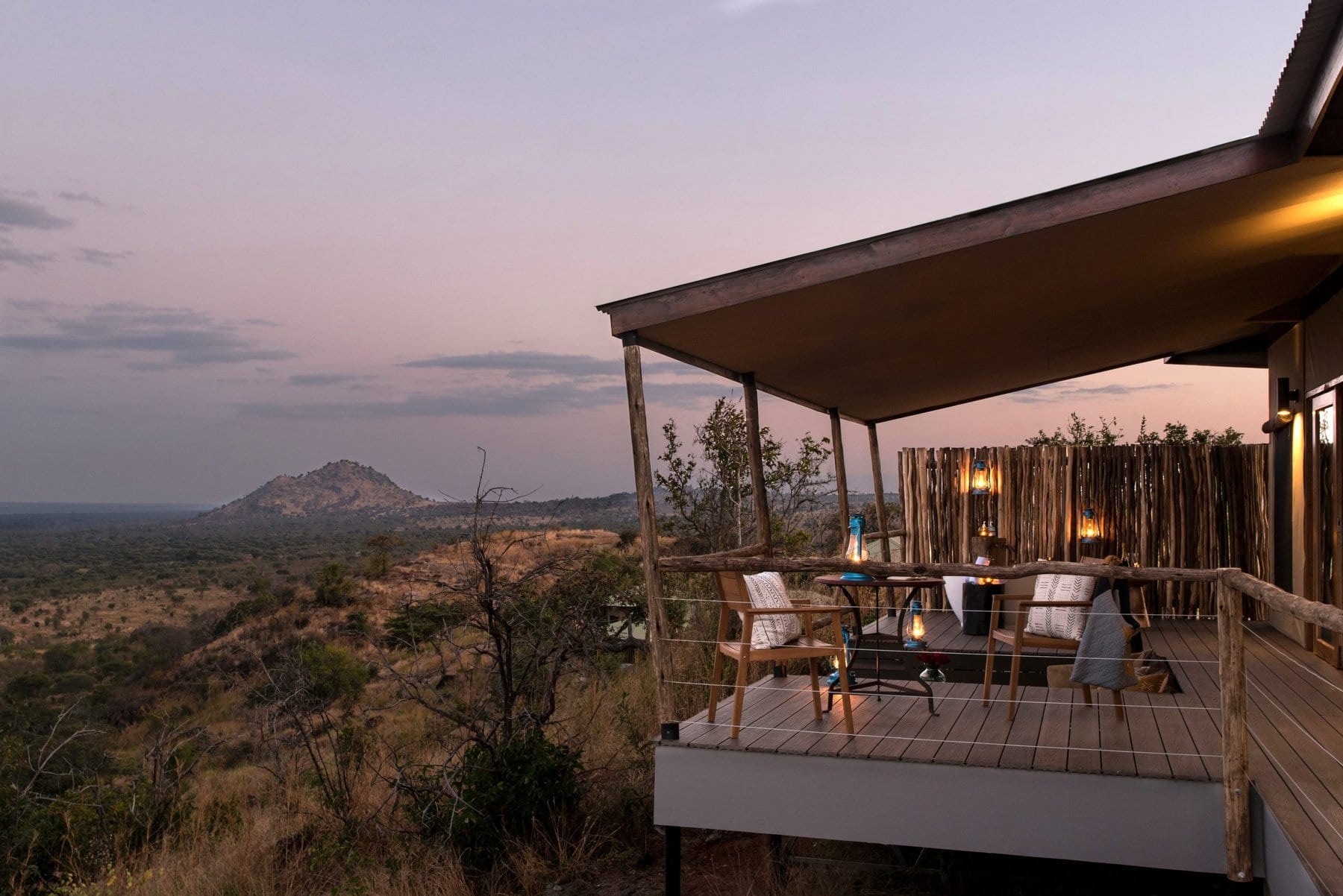
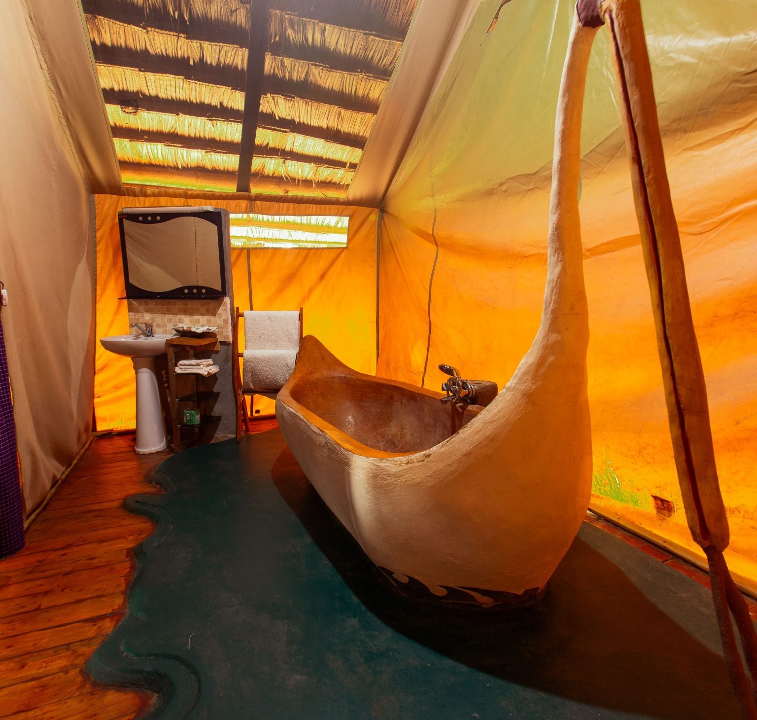
Luxury: The viewpoint with a private outdoor bathtub. [Inside the park] | Perched high on an escarpment, it offers what many call the best views in the ecosystem—best enjoyed from your own deck while soaking in a tub under the stars. | |
| Stylish Slow Safari & Wellness Sanctuaries
| ||
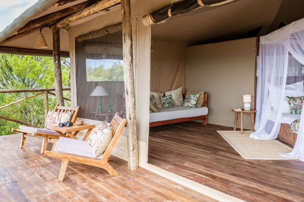
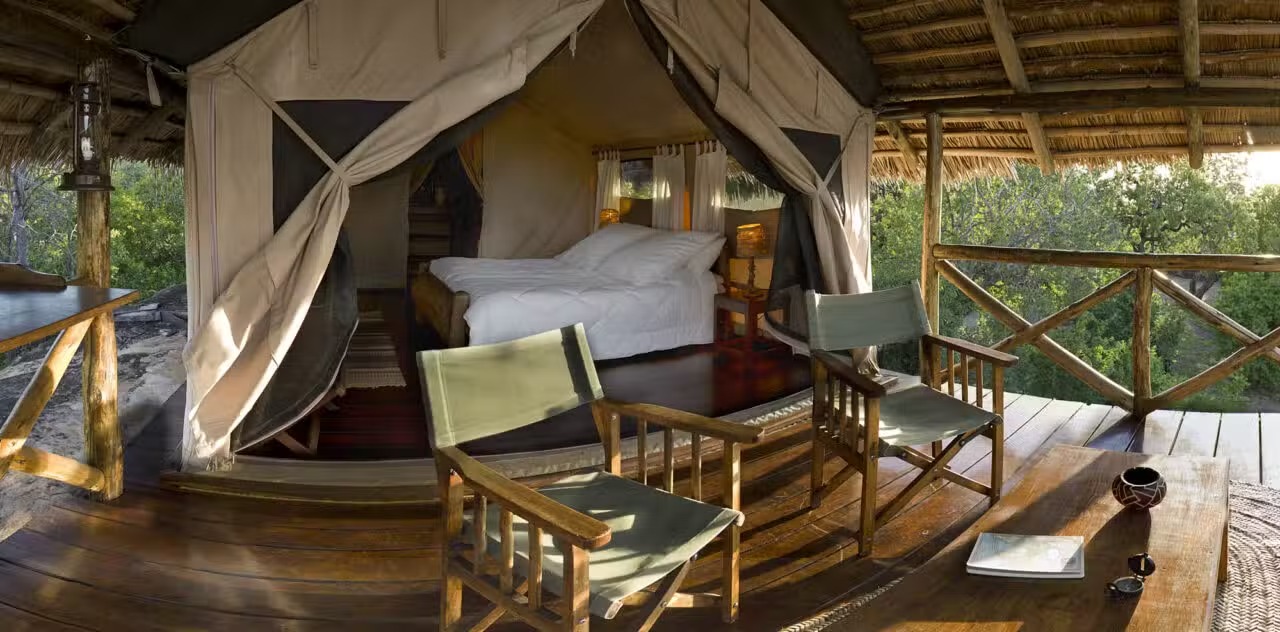
The boho-chic sanctuary where design meets the Tarangire landscape. | A camp that feels like it belongs in Tarangire, not one that tries to dominate it. Located inside the park and overlooking a seasonal riverbed, its boho-inspired style uses locally sourced natural materials to create a space that is both luxurious and deeply authentic. From your private deck, you can witness elephants crossing the riverbank as you savor gourmet meals under the stars. | |
Ultra-Luxury: The stylish slow‑safari sanctuary. [Burunge WMA] | A place where time slows down and luxury feels effortless, set in a private concession where game drives, walking safaris, and wellness come together with understated elegance. | |
Ultra-Luxury: The intimate, exclusive‑use hideaway.[Burunge WMA] | Perfect for a private group or family wanting their own vehicle, guides, and a deeply personal connection to the wilderness without sacrificing an ounce of style. | |
Ultra-Luxury: The vintage‑styled group retreat. [Burunge WMA] | A charming, exclusive‑use camp for up to eight guests, evoking the romance of old‑world safaris with hand‑picked furnishings and a storybook atmosphere. | |
Mid-range: The solid mid‑range base in the south. [Inside (South)] | A reliable mobile tented facility with a friendly atmosphere, giving you access to the same quiet southern wilderness as the luxury camps but at a fraction of the price. | |
| Contemporary Designer Hideouts
| ||
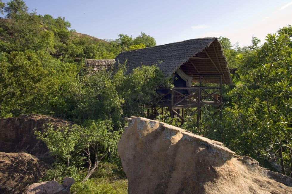
The hidden gem perched on elevated stilts with panoramic views. | A well-kept secret, this camp is set on an elevated rock face with breathtaking panoramic views of the plains. The tents are spacious, well-appointed, and feature a large deck perfect for soaking in the African sunset. Guests consistently praise the warm hospitality, comfortable beds, and the incredible hot showers—a true luxury in the bush. | |
Mid-Range: The reliable, no‑surprises comfort stop. [Madege area] | A straightforward, business‑friendly lodge with a clean pool, solid service, and exceptional guest ratings—ideal for those who want a dependable place to rest between game drives without the high price or fuss. | |
Luxury: The conservation‑focused boutique escape. [Randilen WMA] | An intimate eight‑tent camp in a wildlife management area, where night drives and walking safaris are paired with a strong commitment to community and habitat protection. | |
Luxury: The contemporary designer hideout with a waterhole view. [Lolkisale Conservancy] | Fusing modern architecture with the tented safari tradition, it features a pool overlooking a busy waterhole—and a secret underground hide for eye‑level wildlife photography. | |
| Remote Southern Wilderness & Safari Purist Camps
| ||
Budget: The feng shui retreat of gentle simplicity. [Western border] | Set far apart in a quiet corner, this small camp focuses on tranquility and detail—tents arranged for solitude and designed with a subtle Asian influence that feels unexpectedly harmonious. | |
Mid-Range: The classic mobile camp in the southern wildlife corridor. [Remote Southern Wilderness] | A mobile tented camp situated deep inside Tarangire near the wildlife-rich Silale Swamp. With just 11 well-appointed safari tents, it offers an authentic bush experience. Guests are among the first to enter the park for sunrise game drives, maximizing wildlife encounters. The camp features en-suite bathrooms with hot bucket showers and flush toilets, solar-powered lighting, a communal mess tent, and a nightly campfire. The camp's infrastructure is entirely mobile, designed to leave no lasting impact on the environment. | |
Luxury: The eco‑chic hideaway in a remote corner. [Inside (South‑West)] | Tucked in the less‑visited southern sector, this camp combines lavish tents with a deep commitment to conservation, offering true solitude beside a wildlife‑frequented waterhole. | |
Mid-range: The solid mid‑range base in the south. [Inside (South)] | A reliable mobile tented facility with a friendly atmosphere, giving you access to the same quiet southern wilderness as the luxury camps but at a fraction of the price. | |
Mid-range: The well‑priced mobile camp in the remote south. [Inside (South)] | A seasonal tented camp that moves with the wildlife, offering simple comfort and excellent guiding in the park’s less crowded southern sector—perfect for those who value game viewing over frills. | |
Luxury: The safari purist’s paradise. [Inside (South)] | With only six tents in a prime southern location, it strips away distractions to focus on what matters: exceptional guiding, close wildlife encounters, and an authentic bush vibe. | |
Luxury: The authentic, old‑school bush pioneer. [Inside (South)] | A gold standard for walking safaris and raw wilderness, where bucket showers and highly trained guides deliver the classic safari experience that seasoned travelers seek. | |
| Conservation‑Focused & Eco‑Conscious Lodges
| ||
Budget: The eco‑conscious, value‑driven haven. [Inside near Burunge] | A small, peaceful lodge with boutique tents, and a focus on sustainability—ideal for travelers who want comfort with a lighter footprint and a more personal touch. | |
Mid-Range: The research‑minded lodge on the northeastern border. [Makuyuni] | A unique blend of conservation education and comfortable accommodation, appealing to travelers interested in the ecology of Tarangire beyond the typical game drive. | |
Luxury: The conservation‑focused boutique escape. [Randilen WMA] | An intimate eight‑tent camp in a wildlife management area, where night drives and walking safaris are paired with a strong commitment to community and habitat protection. | |
Mid-range: The solid mid‑range base in the south. [Inside (South)] | A reliable mobile tented facility with a friendly atmosphere, giving you access to the same quiet southern wilderness as the luxury camps but at a fraction of the price. | |
| Mid‑Range Kopje & Scenic Hideaways
| ||
Mid-Range: The Maasai‑inspired hilltop retreat. [Near Sangaiwe Gate] | A lodge with cottage‑style rooms and a swimming pool, set on a hillside near Sangaiwe Gate, where Maasai motifs and warm hospitality create a cultural touchstone. | |
Mid-Range: The secluded kopje escape with sweeping views. [Inside (West)] | A smaller, quieter annex to Mawe Ninga, perched on its own granite outcrop—ideal for travelers who want dramatic scenery and a sense of isolation without moving far from the game‑rich western plains. | |
Mid-Range: The dramatic kopje hideout. [Inside (West)] | Perched atop ancient granite boulders, this camp delivers one of the park’s most spectacular settings—perfect for those who want a mid‑range camp without compromising on location. | |
| Value‑Friendly Bases & Gateway Camps
| ||
Budget: The simple, welcoming stop near Sangaiwe Gate. [Near Sangaiwe Gate] | A straightforward lodge with free breakfast and Wi‑Fi, serving as a convenient gateway for early morning entry into the park without the cost of a luxury stay. | |
Mid-Range: The convenient stop near Kuro Airstrip. [Near Kuro Airstrip] | A modest 3‑star tentalow positioned for fly‑in safari guests, offering 24‑hour room service and a no‑hassle base for exploring the southern reaches of the park. | |
Mid-Range: The straightforward tentalow near the entrance gate. [Near Entrance Gate] | A simple, well‑positioned camp for budget‑conscious travelers who want quick park access without the long drive from outside towns. | |
Budget: The convenient, no‑frills gateway. [Near Entrance Gate] | Located just minutes from the main gate, it’s a solid budget option that lets you get into the park early without a long commute. | |
| Budget‑Friendly & No‑Frills Options
| ||
Budget: The no‑frills campground with a garden feel. [Inside near Burunge] | A basic tented camp that caters to self‑drive visitors and those seeking a simple, affordable base—often with meals included and a friendly, laid‑back vibe. | |
The hidden gem perched on elevated stilts with panoramic views. | A well-kept secret, this camp is set on an elevated rock face with breathtaking panoramic views of the plains. The tents are spacious, well-appointed, and feature a large deck perfect for soaking in the African sunset. Guests consistently praise the warm hospitality, comfortable beds, and the incredible hot showers—a true luxury in the bush. | |
The basic tented camp for wildlife enthusiasts on a budget. | A budget-friendly campsite known for its excellent wildlife viewing from a designated hide. The site is rustic and basic, providing a true back-to-nature camping experience. The main draw is the access to a nearby waterhole, which attracts large numbers of elephants, giraffes, and other antelopes, especially during the dry season. | |
Luxury: The safari purist’s paradise. [Inside (South)] | With only six tents in a prime southern location, it strips away distractions to focus on what matters: exceptional guiding, close wildlife encounters, and an authentic bush vibe. | |


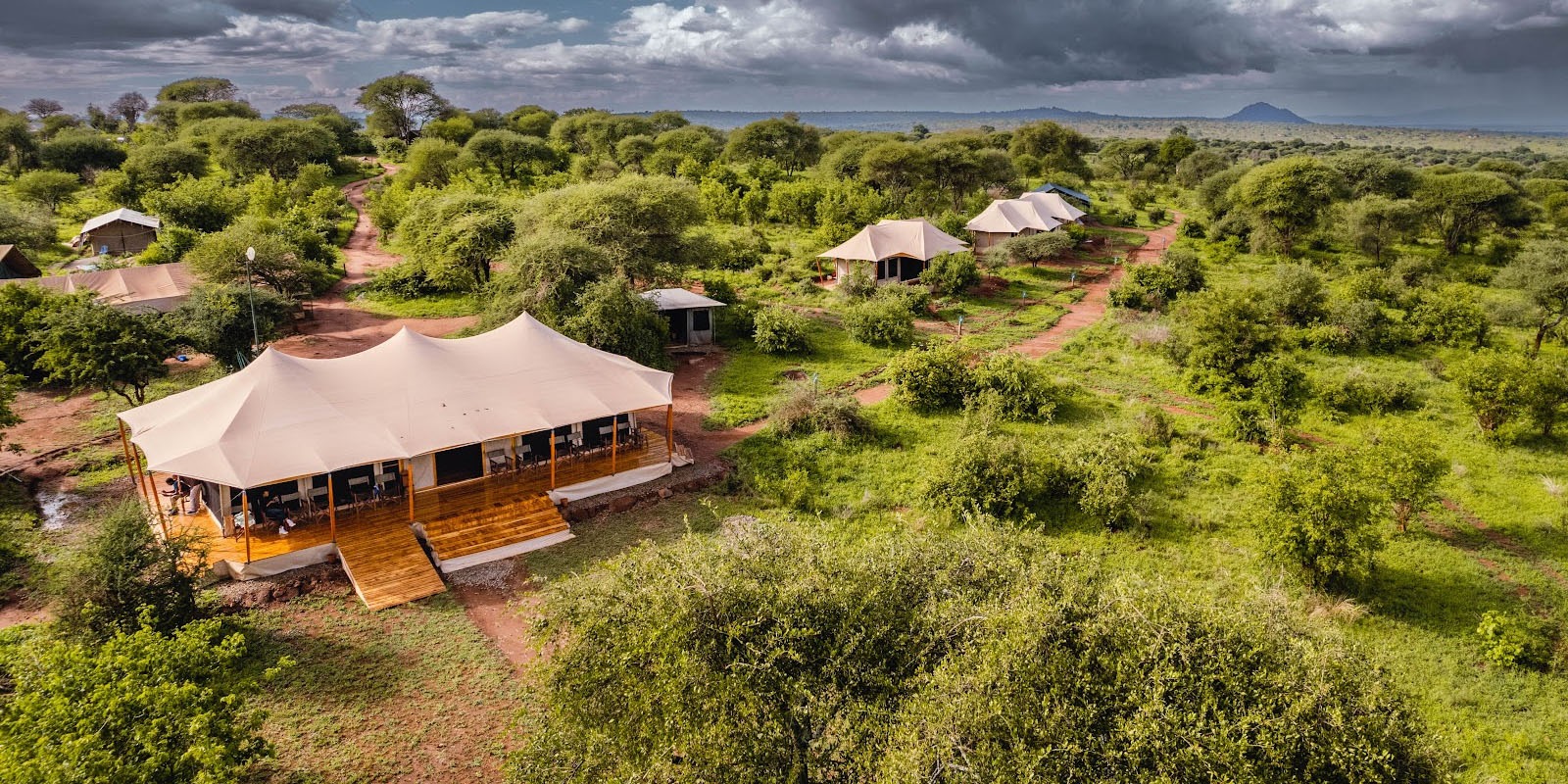
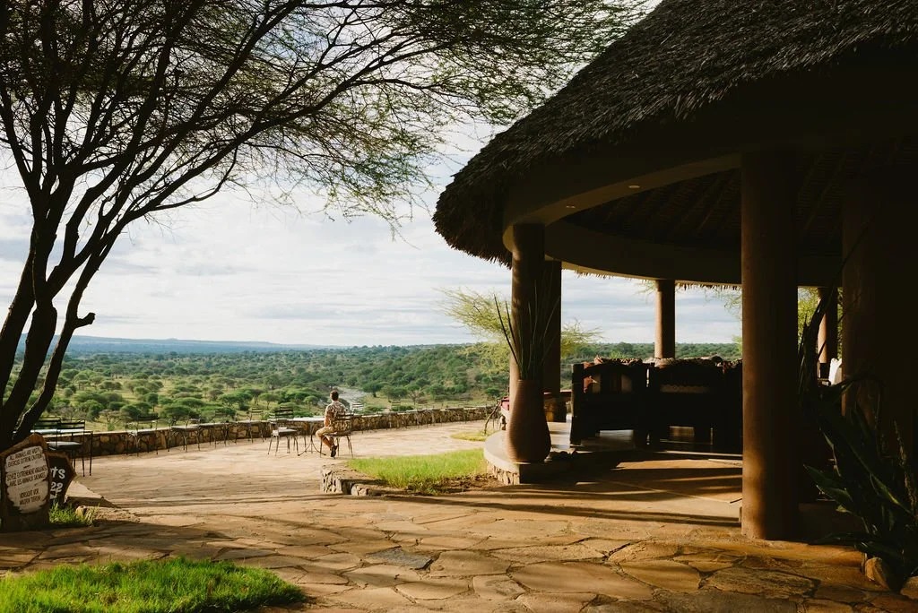
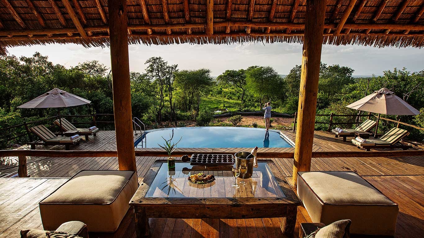
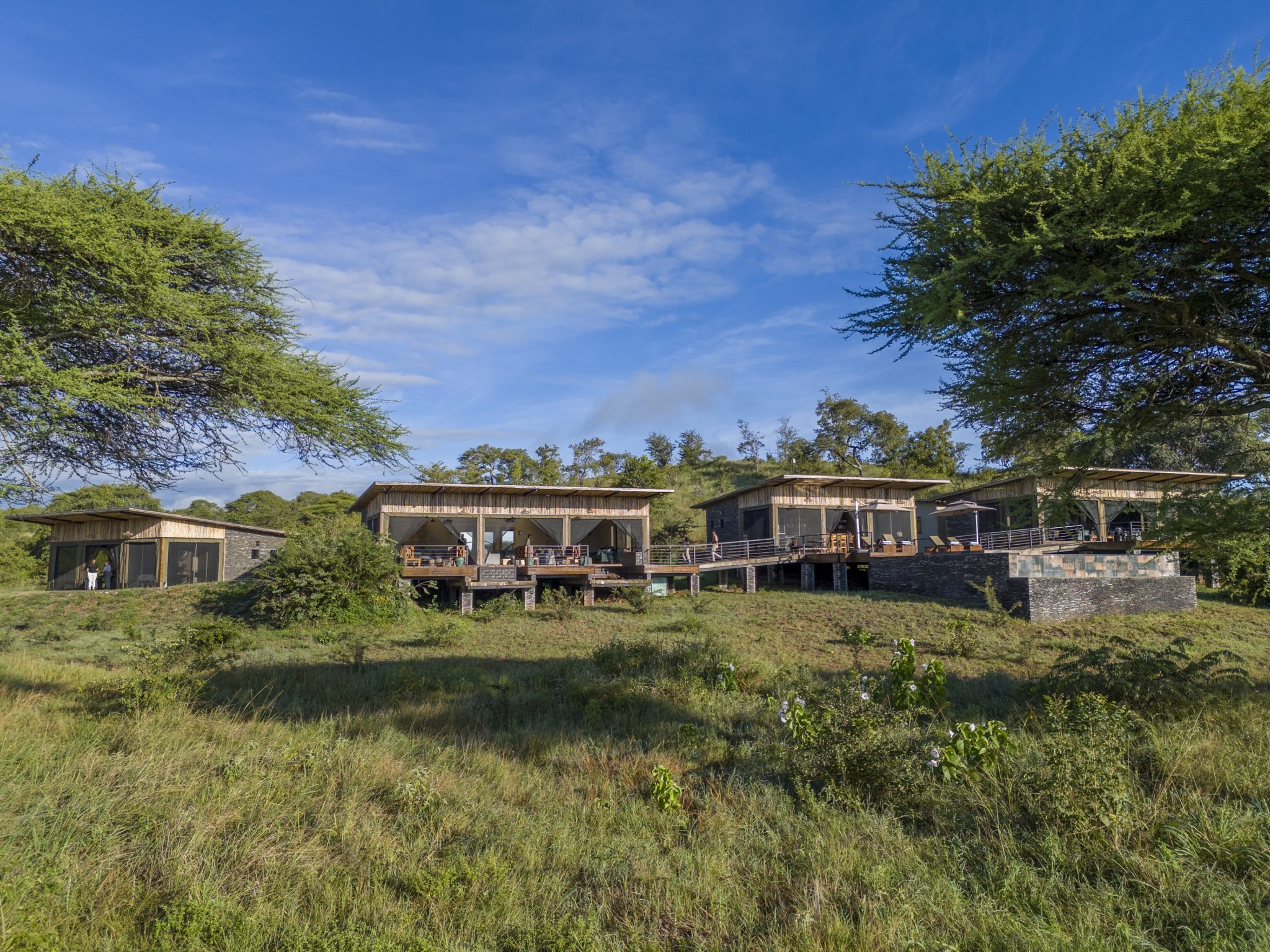
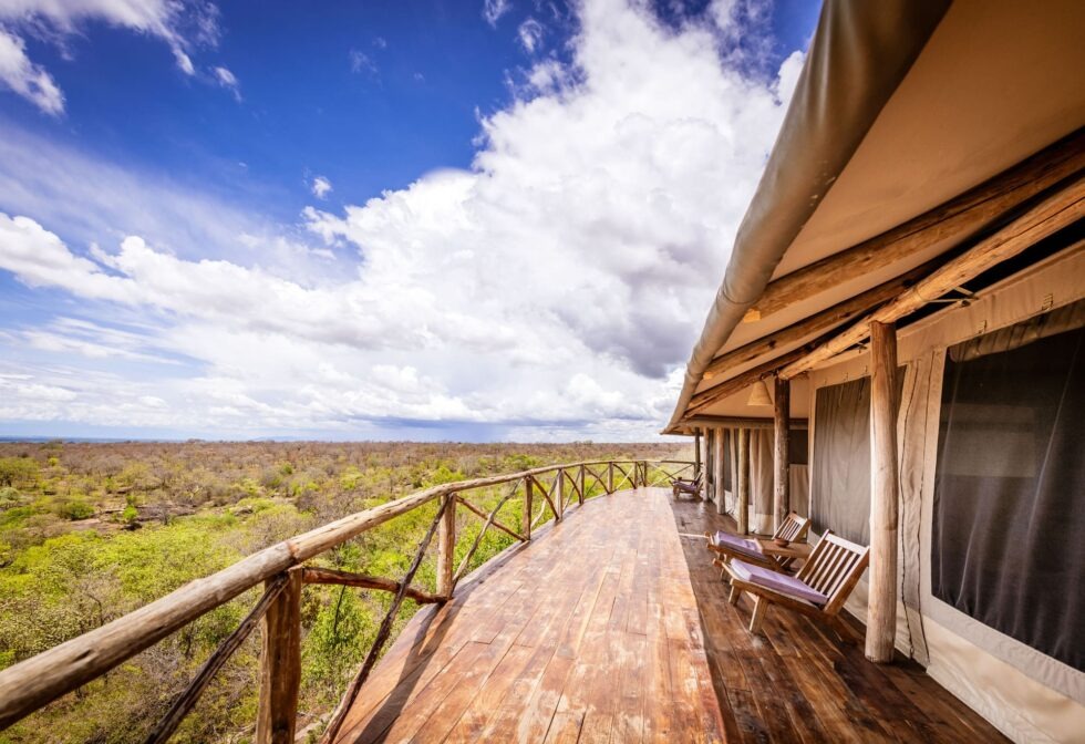
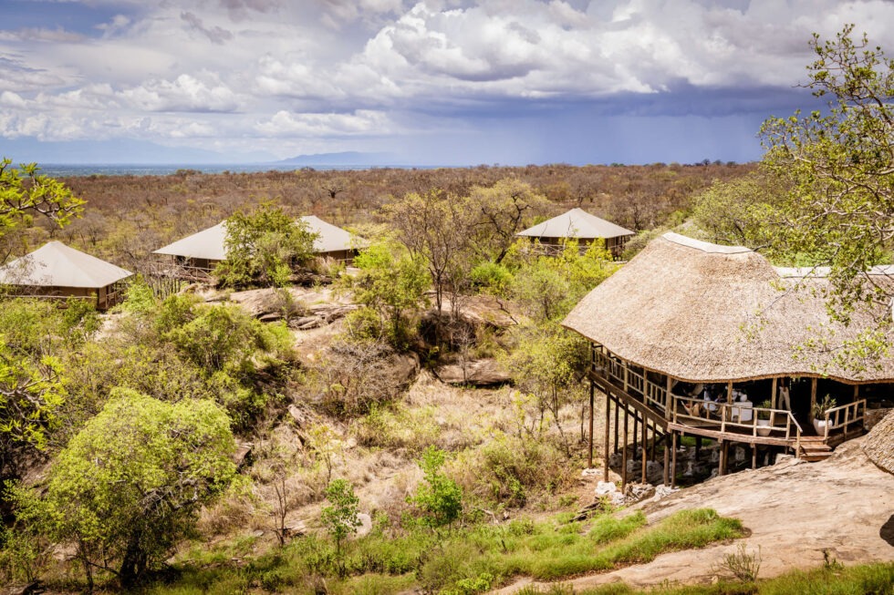
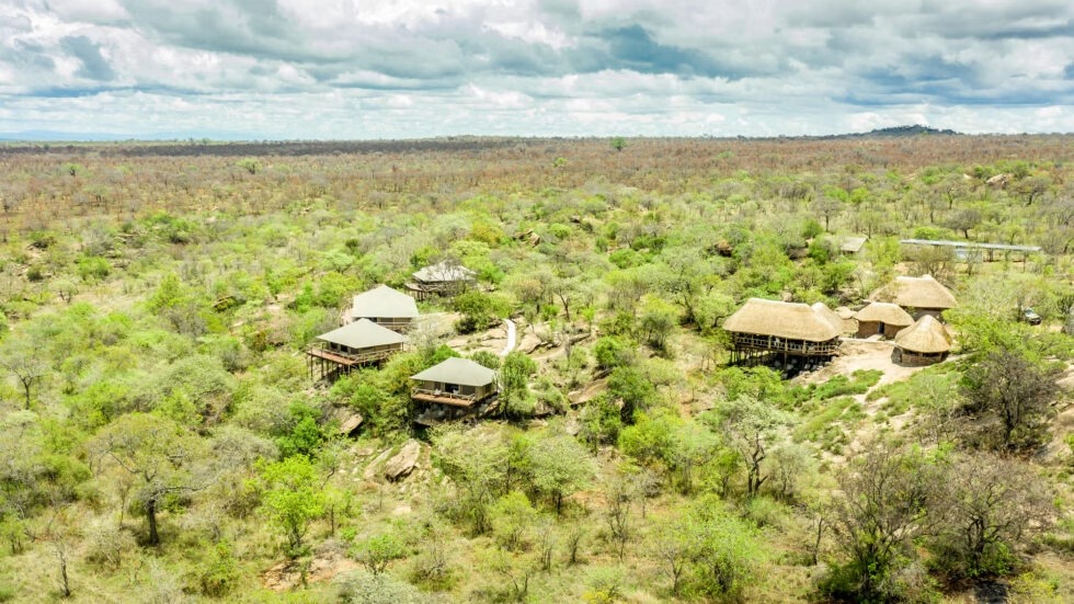
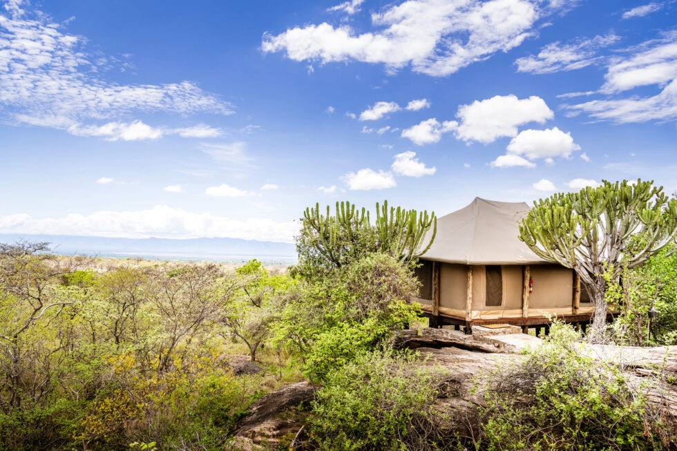
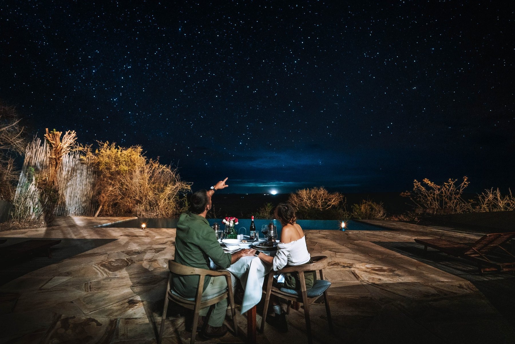
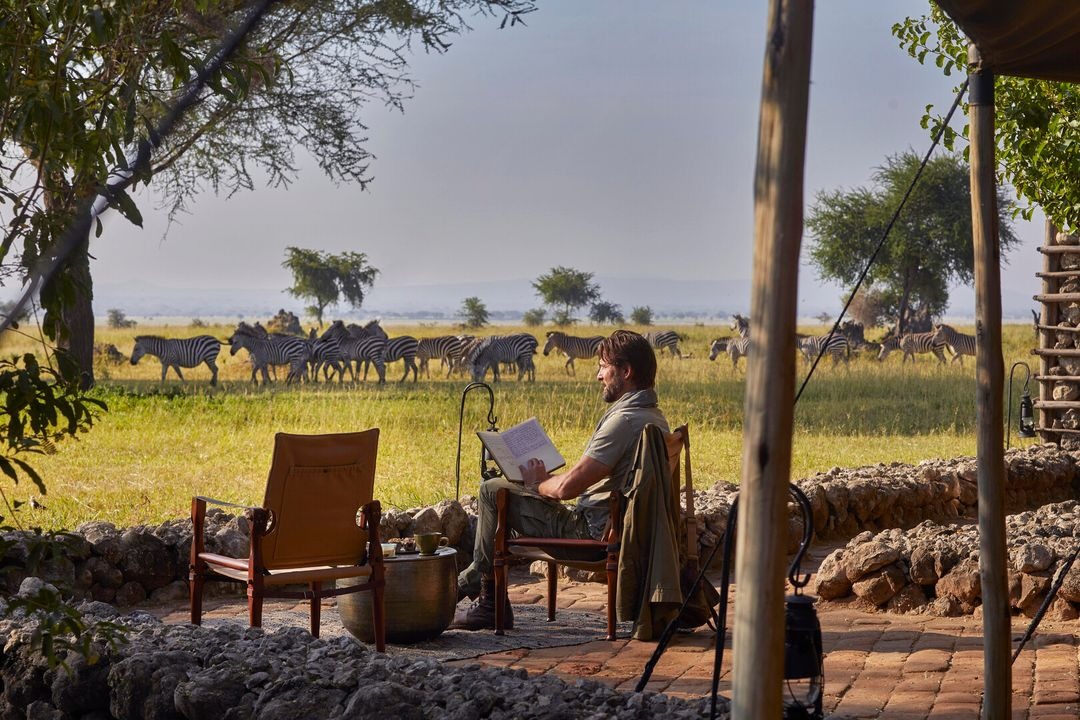
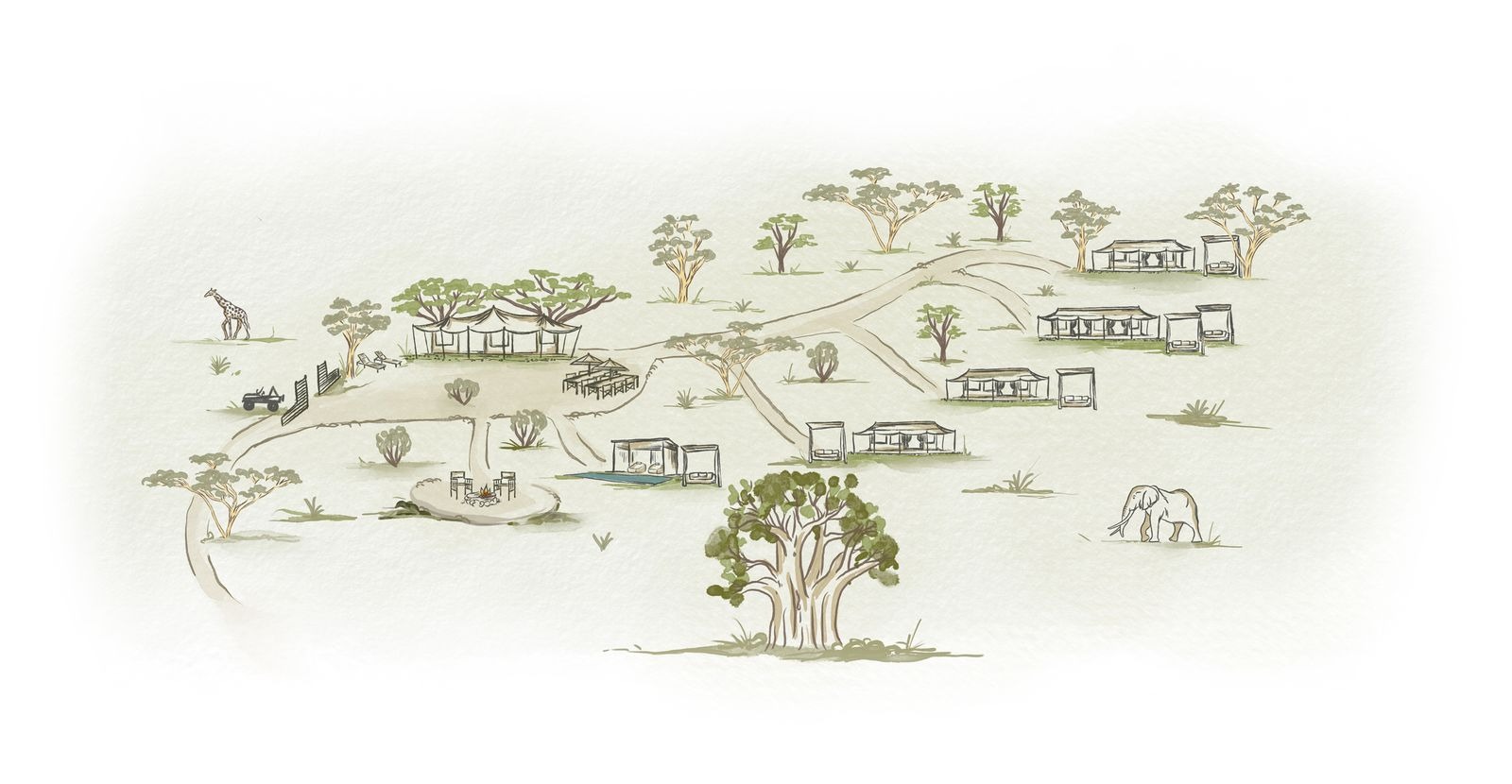
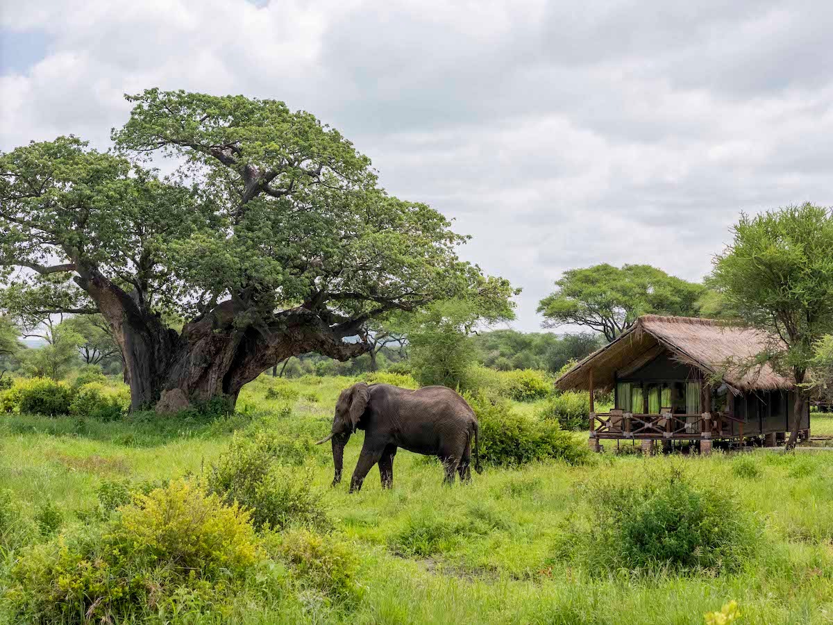
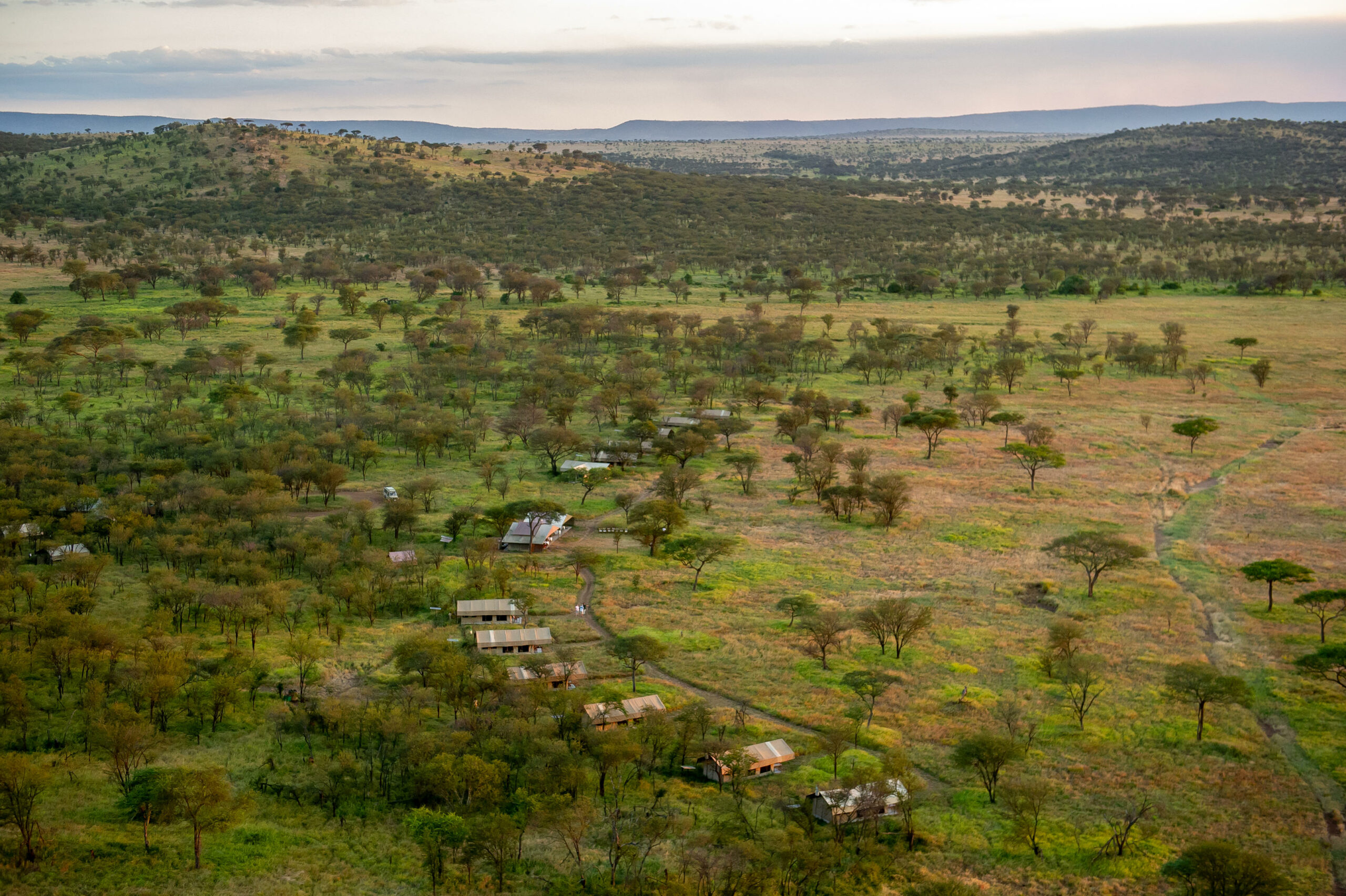
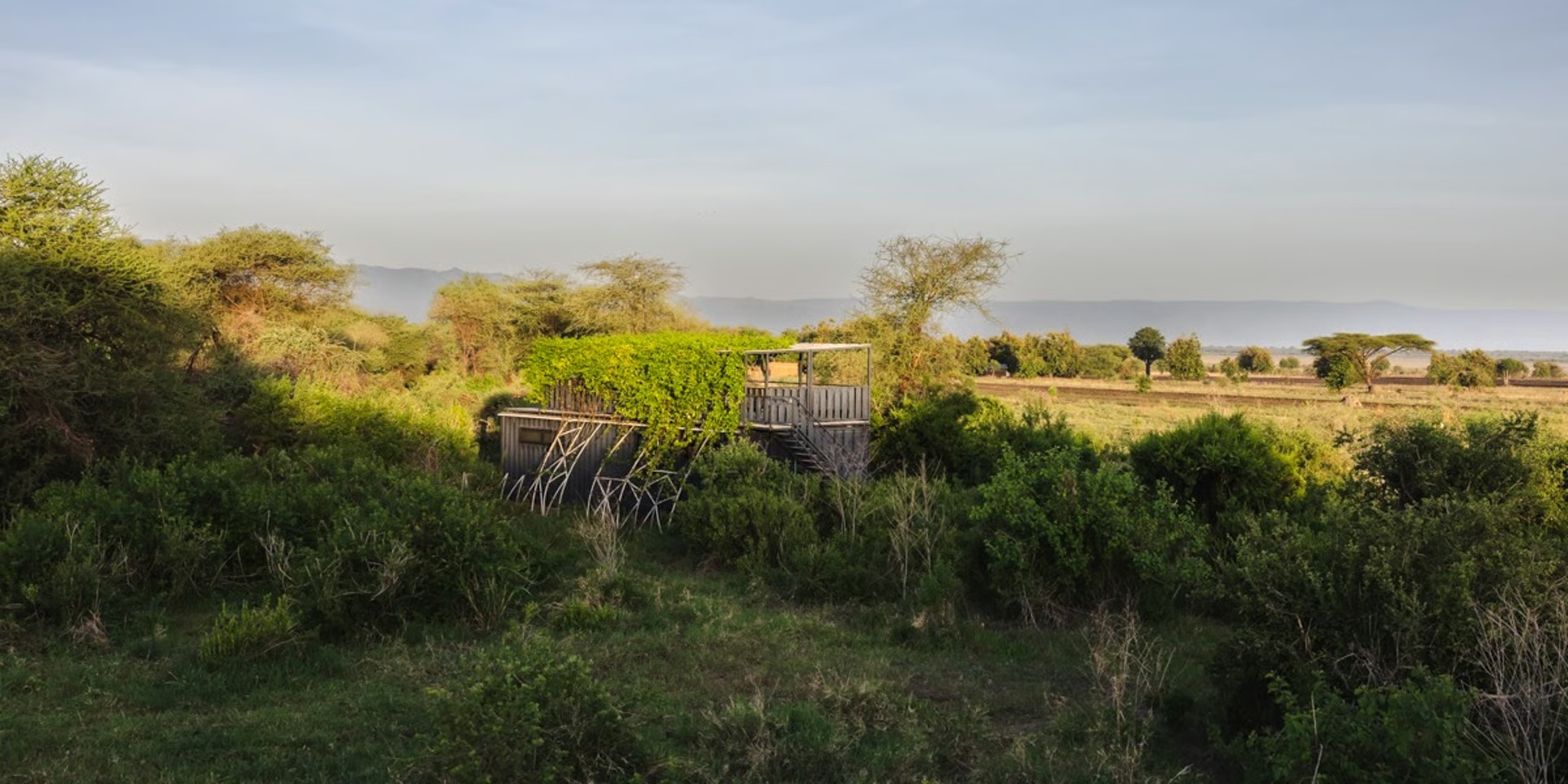
Lodges inside the park (like Lemala Mpingo Ridge or Tarangire Safari Lodge) offer the ultimate immersion, allowing you to start game drives at sunrise. Lodges outside in Wildlife Management Areas (WMAs) (like Chem Chem or Tarangire Treetops) are often better value and permit unique activities like night game drives and walking safaris, but you’ll have to factor in driving time to and from the park gate each day.
Maramboi Tented
Ecoscience Lodge
Chem chem Lodge
Forest Chem Chem
Little Chem Chem
Burunge Tented Camp
Tarangire Simba Lodge
Sangaiwe Tented Lodge
Sangaiwe Mbuyu
Tarangire Luxury Hideaway
Olkambe Simba Lodge
Sanctuary Swala Camp
Seriani Acacia Tented
Olivers Camp
Losunyai Lamarkao
Nomad Kuro
Nyikani Tented
Tarangire Elephant Springs
Tarangire View Tented
Angata Tented
Lokisale Camp
Tarangire Kati Kati
Tarangire Sopa Lodge
Lemala Mpingo Ridge
Tarangire Ndovu Camp
Ormatoi Rocks
Mawe Ninga
Tarangire Greenland Retreat
Tarangire Baobab Tented
Elewana Tarangire Treetops
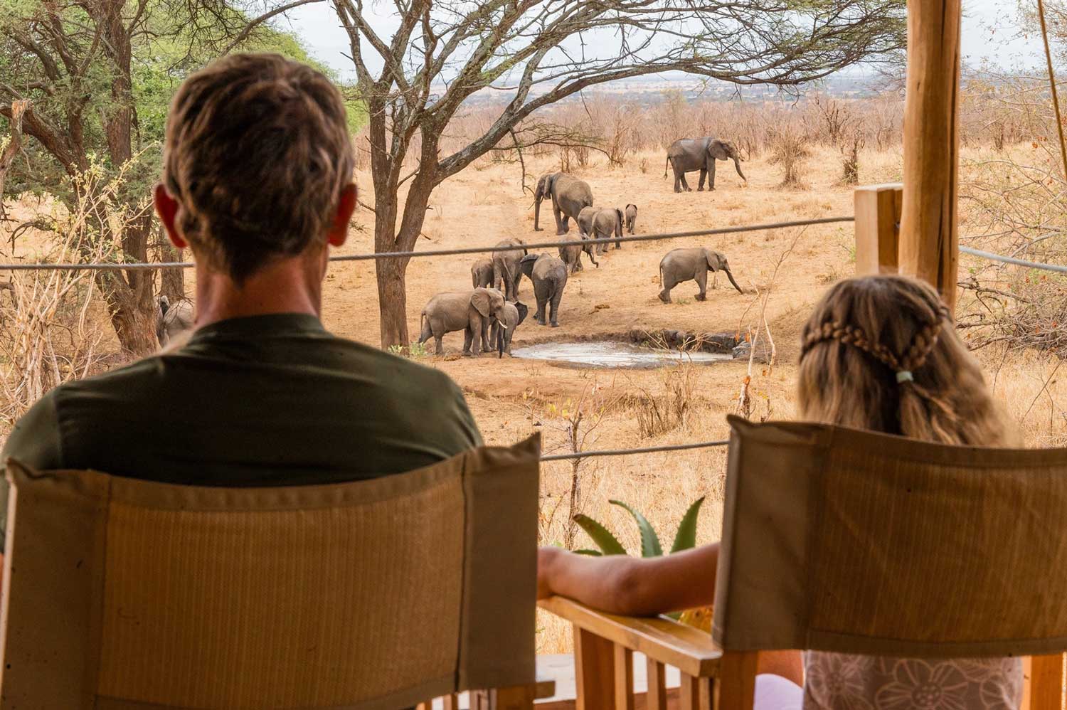
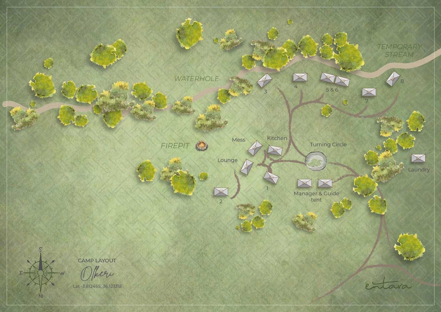
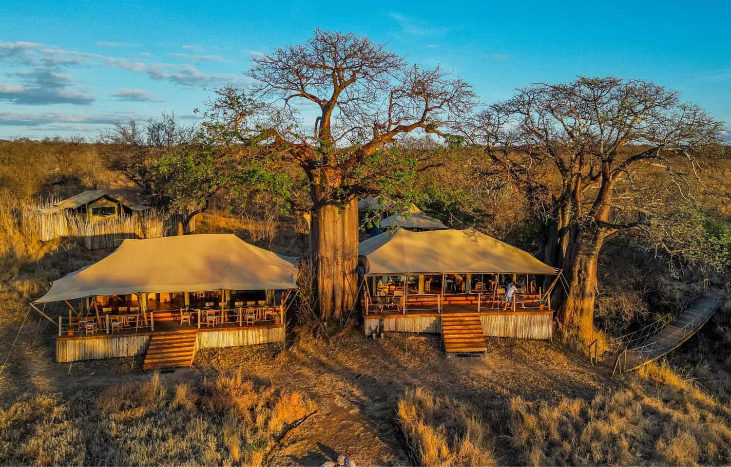
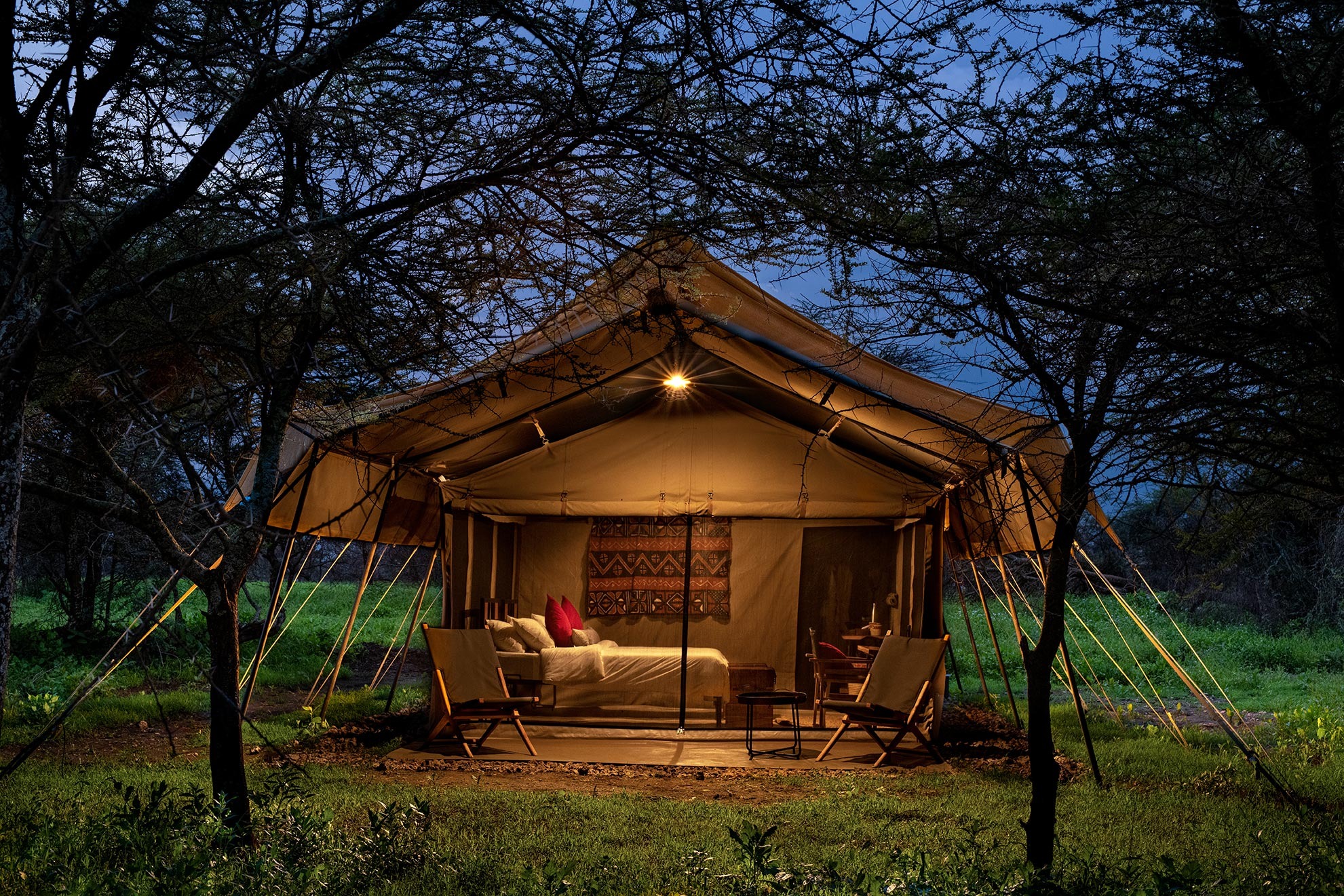
Tarangire Olkeri Camp
Tarangire Nimali Tented
Conserve Safari Tarangire
Tarangire Safari Lodge
Roika Tented
Mbali Mbali Tarangire
Osopuko Tarangire
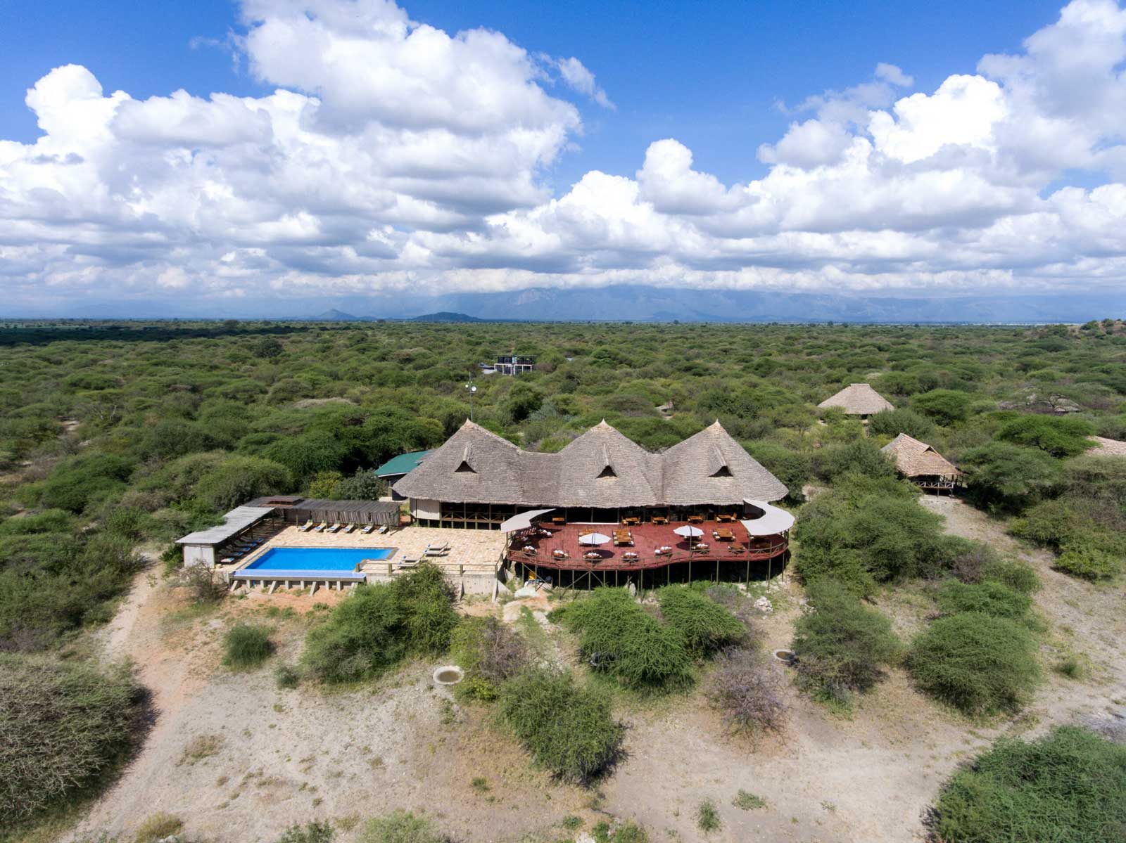
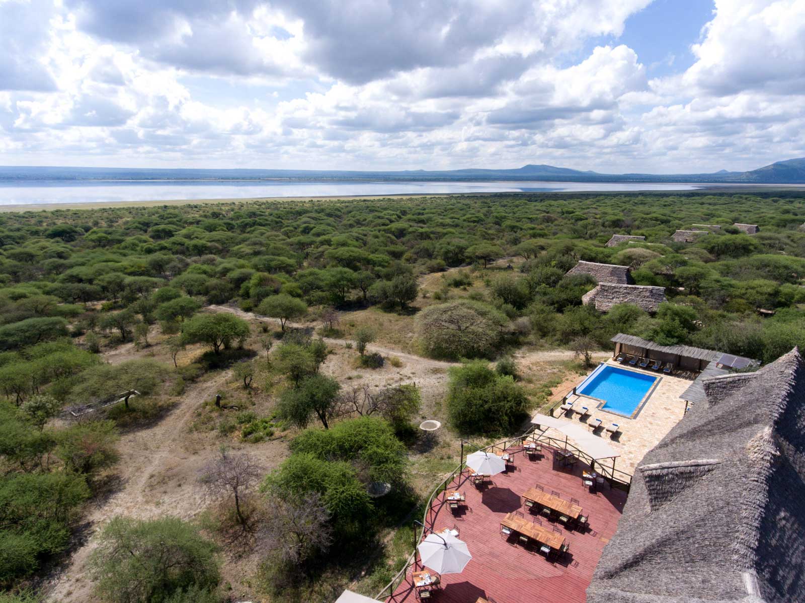
The Lake Manyara
Manyara Among Tanzania’s Largest Lakes
Lake Manyara is the seventh-largest lake in Tanzania by surface area of 470 km² (180 sq mi).
Lake Manyara is described as a soda lake, meaning the water is very alkaline, which has historically created perfect breeding conditions for the hundreds of thousands of flamingos wading along the shoreline… Even at the height of the rainy season, the lake only reaches depths of around three metres.
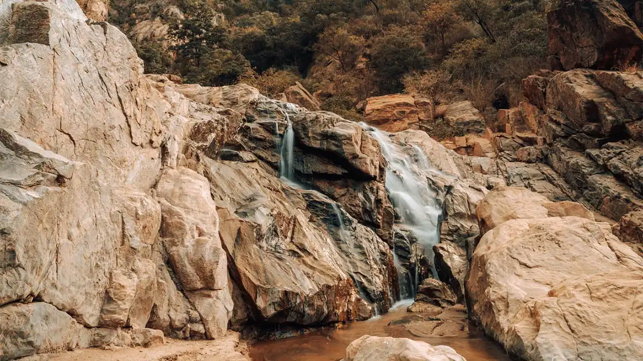
The lake itself has no outflow but is fed by underground springs and streams originating in the Ngorongoro highlands, eventually tumbling off the escarpment walls in a series of delicate waterfalls and joining to form nine little rivers.
Manyara belongs to the same chemical tier as Bogoria, Nakuru, and Elmenteita—extremely shallow, finger-shaped, and markedly alkaline—but it is distinguished by its groundwater forest, its diverse large mammal populations (including tree-climbing lions), and its location directly beneath the dramatic Gregory Escarpment. The lake is part of the Tanzanian Rift’s soda lake cluster alongside Eyasi and Natron, and its protected status within Lake Manyara National Park makes it a crucial node in the broader soda lake conservation network.
| 📍 Lake | Manyara (soda lake) |
| 🧪 pH | ~9.5 |
| 📏 Max depth | 3.7 m (wet season) |
| 📏 Elevation | ~1,045 m (3,428 ft) |
| 📏 Surface area | 470 km² (180 sq mi) |
| 📊 Rank | 7th largest in Tanzania |
| 🧗 Escarpment | ~600 m western wall |
| ♨️ Hot springs | Maji Moto (60°C+) |
| 🐟 Endemic fish | Oreochromis amphimelas |
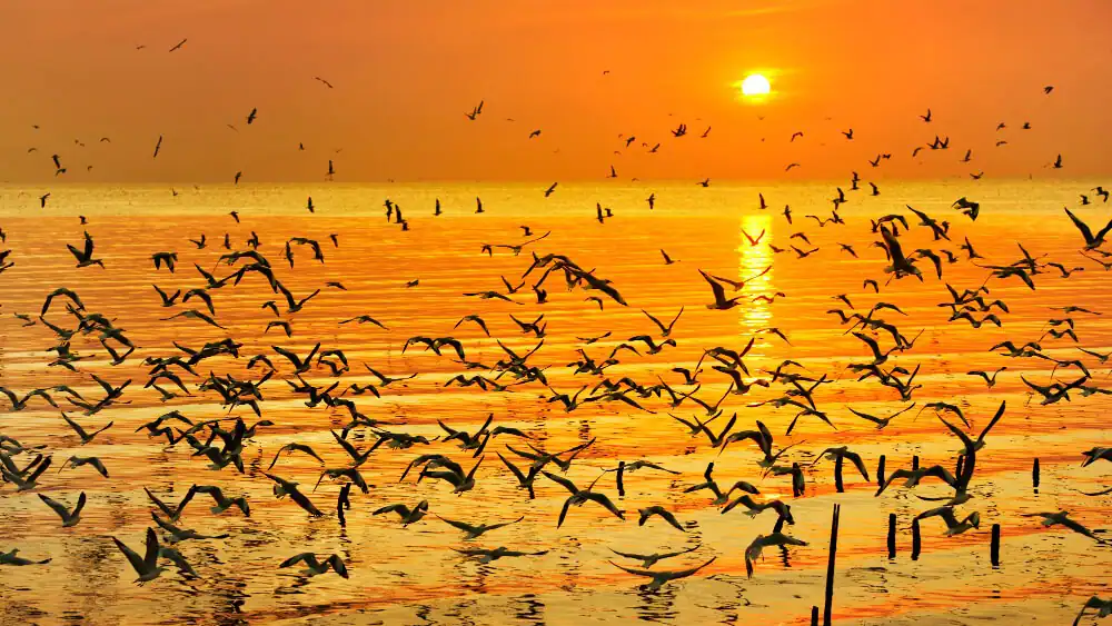
| 🦩 Flamingos | Up to 1.9 million |
| 🦁 Lions | Tree-climbing behaviour |
| 🌍 Biosphere | UNESCO since 1981 |
| 💧 Basin | Closed (no outflow) |
| Lake | Country | ph | Depth | Area | Unique features |
|---|---|---|---|---|---|
| Manyara | Tanzania | ~9.5 | 3.7 m | 470 km² | Tree-climbing lions; groundwater forest fed by springs; UNESCO Biosphere Reserve since 1981 |
| Natron | Tanzania | >12 | <3 m | 850 km² | Sole regular Lesser Flamingo breeding site in East Africa; 75% of world population born here |
| Eyasi | Tanzania | ~10 | Very shallow | 1,050 km² | Home to Hadzabe, among the last true hunter-gatherers on Earth; purple lava walls |
| Bahi | Tanzania | ~9–10 | Shallow | 974 km² | Endemic tilapia; pairs with Natron as East African Halophytics ecoregion; dries completely in droughts |
| Magadi | Kenya | 12 | 1–5 m | 117.5 km² | Dense trona deposits mined for soda ash; endemic Magadi tilapia survives pH 12 waters |
| Elmenteita | Kenya | 9.4–10 | <3 m | 18 km² | Critical flamingo refuge when Nakuru's alkalinity drops; pelican breeding islands |
| Nakuru | Kenya | 10.5 | <3 m | 45 km² | Famous for vast flamingo flocks; dubbed "the greatest bird spectacle on Earth" |
| Bogoria | Kenya | 10–10.5 | ~10–14 m | 18 km² | Africa's highest concentration of true geysers (at least 18); ~200 saline hot springs |
| Logipi | Kenya | 9.5–10.5 | 3–5 m | 18 km² | Hot springs sustain water in extreme aridity; trona salt crusts form on exposed mudflats |
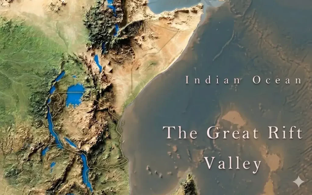
The Great Rift Valley
Professor J. W. Gregory
“Professor J. W. Gregory set all geologists by the ears when, after a memorable journey of exploration in East Africa, he enunciated his theory of the Great Rift Valley—extending from Lebanon to Mozambique—in 1896.” His vision of a single, unbroken trench stretching thousands of kilometres captured the world’s imagination, and the name he gave it—the Great Rift Valley—has endured ever since. He imagined a single, colossal crack running unbroken down the length of a continent. But the ground beneath his feet had a more intricate story to tell.
What we now call the Great Rift Valley is not one continuous trench at all. It is a shattered mosaic of rift basins—separate, distinct valleys that have opened side by side over millions of years, each with its own character, yet all moving to the same slow, tectonic rhythm as Africa tears itself apart.
The rift system consists of two main branches:
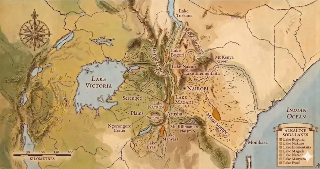
🌄 Eastern (Gregory) Rift Passes through Ethiopia and Kenya, then into Tanzania. This branch is famous for its soda lakes, active volcanoes (like Ol Doinyo Lengai), and dramatic escarpments. The Gregory Rift floor is home to Lakes Turkana, Natron, Manyara, and Magadi, among others.
🌿 Western (Albertine) Rift Arcs from Uganda to Malawi, containing the African Great Lakes — Tanganyika (the world’s second deepest), Malawi, Kivu, Edward, and Albert. These are deep, fjord-like freshwater lakes, many with floors well below sea level.
| 📏 Length | ~6,400 km (4,000 mi) |
| 📐 Width | 30–40 mi (48–64 km) |
| ⏳ Age | ~25–35 million years |
| 🌿 Two Branches | Eastern (Gregory) & Western (Albertine) |
| 🔥 Eastern Rift | Volcanic, shallow soda lakes (pH>9), geysers |
| 💧 Western Rift | Deep freshwater lakes, gorillas, cichlids |
| 🦩 Flamingos | Up to 1.9 million Lesser Flamingos |
| 🦁 Unique Lions | Tree‑climbing lions in Manyara |
| 🐟 Soda Tilapia | Survive pH 12, excrete urea not ammonia |
| 🌋 Oddest Volcano | Ol Doinyo Lengai – carbonatite lava |
| 💎 Tanzanite | Found only here – 1,000× rarer than diamonds |
| 🛢️ Oil | Uganda’s Albertine Rift: 6.5 billion barrels |
| ⚡ Geothermal | ~20,000 MW potential – largely untapped |
| 🧑🤝🧑 Tribes | Maasai, Hadzabe (50,000‑yr hunter‑gatherers), Datoga, Iraqw |
| 🦴 Fossils | Olduvai Gorge – cradle of humankind |
Rift Valley basics & geology
- What is geotourism and how does the Gregory Rift Valley exemplify it?
- What are the key geological features of the East African Rift System?
- How did the Gregory Rift develop through its three stages?
- What is the role of basement complexes and regional plateaus in the geology of East Africa’s national parks?
- Which countries does the East African Rift Valley pass through?
- Is the East African Rift Valley still active and splitting Africa?
What is geotourism and how does the Gregory Rift Valley exemplify it?
Geotourism is a way of travelling that reads the landscape from the ground up—it looks not just at the scenery but at the rocks, faults, volcanoes, and soils that built it. The Gregory Rift is its perfect classroom. Here, the spectacular landforms are not a backdrop; they are the reason the national parks exist and why they hold such extraordinary concentrations of wildlife. When I stand on the escarpment at Manyara and see the lake glinting below, I am looking at a closed basin with no outlet, fed by sodium‑rich volcanic springs, where evaporation has brewed a toxic, alkaline brine that feeds millions of flamingos. That is geotourism: understanding that the flamingos are there because of the soda chemistry, and that the soda chemistry exists because of the rifting and volcanism. The same geological story runs through Ngorongoro, where a collapsed volcano created a natural wildlife amphitheatre, and through the Serengeti, where ash from an active carbonatite volcano fertilises the grass that drives the Great Migration. The entire safari circuit of northern Tanzania and southern Kenya could be reclassified as a network of geoparks, because every wildlife spectacle here has a geological explanation. Geotourism simply asks us to notice that connection.
What are the key geological features of the East African Rift System?
The East African Rift System is the planet’s classic example of a continental rift—a place where the earth’s crust is being pulled apart, and the evidence is written across the landscape in dramatic, visible ways. It stretches as a series of interconnected valleys, not one single trench, and it splits into two main branches. The eastern branch, the Gregory Rift, is volcanically hyperactive: it is lined with shallow, alkaline soda lakes, studded with volcanoes like Ol Doinyo Lengai, and bounded by sheer escarpments that can rise 600 metres or more. The western branch, the Albertine Rift, arcs from Uganda down to Malawi, holding some of the deepest freshwater lakes on Earth—Tanganyika plunges to 1,470 metres, and its waters never see sunlight at the bottom. Both branches sit above a thinning lithosphere, where the Somalian plate is inching away from the Nubian plate. The rifting has produced not just valleys and lakes but also massive volcanic edifices, including Kilimanjaro and Mount Kenya, and it continues to generate earthquakes, hot springs, and geysers. Underlying the whole system are ancient Precambrian basement rocks that form the stable platform upon which all this chaos is unfolding. These features are not random—they are the direct expressions of a continent slowly tearing itself apart.
How did the Gregory Rift develop through its three stages?
The Gregory Rift did not appear overnight; it evolved through three distinct tectonic stages, each leaving a signature in the rocks and landforms I see today. The first was the pre‑rift stage, beginning in the Late Oligocene and continuing through the Miocene. During this time, a massive thermal plume welled up beneath the region, creating the broad Kenya‑Tanzanian Dome and triggering enormous outpourings of plateau‑style volcanic lava. Isolated shield volcanoes like Mount Elgon are relics of this phase. The second stage, the half‑graben stage, took hold in the Late Miocene to Pliocene. The crust began to crack and tilt, forming an asymmetrical valley—one side bounded by a major fault scarp, the other sloping more gently. This created the narrow, incipient rift valley in central Kenya. The third stage, the full graben stage, began in the Pleistocene and continues today. The valley floor dropped further between parallel fault systems, widening the rift and triggering a fresh pulse of volcanism that youngs southwards into northern Tanzania. It was during this stage that the modern soda lakes and many of the iconic volcanoes, including parts of Kilimanjaro and the Ngorongoro highlands, took shape. The Gregory Rift is not a finished product; it is a story still being told.
What is the role of basement complexes and regional plateaus in the geology of East Africa’s national parks?
Before the Rift ever opened, the land was already ancient. The basement complexes of East Africa are Precambrian crystalline rocks—some of the oldest on the planet—that form the deep, stable crust beneath the later volcanic and sedimentary layers. These rocks are exposed in places like the Serengeti, where they create the gently rolling plains that underpin the migration. The regional plateaus, such as the East African Plateau, sit atop this basement and control the fundamental conditions for life: drainage patterns, climate, and soil development. Because the plateaus are tilted outwards from the rift axis, major rivers often flow away from the rift valley, leaving the rift floor in a rain shadow and contributing to the formation of closed, evaporative basins. In the parks, this ancient geology surfaces in practical ways: the mineral content of the soils, the location of permanent springs, and the very shape of the land that wildlife traverses. The national parks are not just rifted valleys and volcanic cones; they sit on a much older, quieter foundation, and that foundation’s influence is everywhere.
Which countries does the East African Rift Valley pass through?
The Rift’s reach is vast and often underestimated. From north to south, it carves through Ethiopia, Kenya, Tanzania, Uganda, Rwanda, Burundi, the Democratic Republic of Congo, Malawi, and Mozambique. Its northern tendrils stretch further—into South Sudan, Eritrea, and Djibouti—and the broader Afro‑Arabian Rift System links it all the way to the Gulf of Aden, the Red Sea, and into Jordan, Israel, and Lebanon. When I stand on the escarpment at Lake Manyara, I am in just one tiny segment of a fracture that runs through a dozen nations and connects the Middle East to southern Africa. The Rift does not respect borders; it is a geological feature of continental scale, and its influence on landscapes, ecosystems, and human cultures spans an entire quadrant of the globe.
Is the East African Rift Valley still active and splitting Africa?
Absolutely. The rifting is happening right now, at a rate of a few millimetres per year—roughly the speed at which a fingernail grows. The Somalian plate is pulling away from the Nubian plate, and the evidence is everywhere I look. Ol Doinyo Lengai, the only active carbonatite volcano on Earth, erupts a cool, black, sodium‑rich lava. The geysers and hot springs of Lake Bogoria steam relentlessly, and earthquakes regularly rattle the fault lines. GPS measurements confirm that the crust is stretching, and in places like the Afar Triangle in Ethiopia, the rift has already thinned the continental crust so much that it is transitioning to sea‑floor spreading—the birth of a new ocean. Given tens of millions of years, this process could flood the rift with seawater, splitting the Horn of Africa from the rest of the continent. The Great Rift Valley is not a relic of the past. It is a living, breathing tear in the Earth’s skin, and its work is far from done.
Arguments about geology and wildlife?
- How does the geology of the Gregory Rift explain the extraordinary wildlife diversity of East Africa?
- What is the interrelationship between the Ngorongoro Conservation Area’s geology and its world‑famous wildlife?
- How does the Serengeti National Park’s geology underpin the Great Migration ecosystem?
- Why is the Ngorongoro Caldera considered a geological wonder?
- How do calcareous volcanic ashes from Oldoinyo Lengai influence the Serengeti ecosystem?
- What unique wildlife lives in the Rift Valley?
The great parks of East Africa are not random. The same geological processes that shaped the Rift—volcanoes, faulting, and alkaline lakes—also drove the unusually rich biodiversity and speciation. The landforms and the wildlife are two expressions of one deep Earth story, and even the fossil discoveries here are part of that narrative.
I see the evidence for this everywhere I look. The violent geological forces that are tearing the continent apart did not just build the scenery; they set the conditions for an explosion of life. Volcanic soils are extraordinarily fertile. Closed basins create permanent water sources in an otherwise arid land. The broken topography carves out countless ecological niches, each one an evolutionary experiment. And the intensity of the rifting has driven rapid speciation, so that each isolated lake basin, each volcanic highland, each nutrient‑rich ash plain has become its own theatre of adaptation. It is a powerful thought: the same forces splitting Africa in two are the ones that filled it with such a dazzling diversity of living things.
The evidence is written all over northern Tanzania. The Great Migration of wildebeest and zebra is often described as a wildlife spectacle, but it is really a geological one. The animals are following the grass, and the grass grows on soil made by a volcano. Oldoinyo Lengai, the “Mountain of God,” erupts a strange carbonatite lava rich in sodium and calcium carbonates. That lava weathers rapidly into a calcareous, nutrient‑rich dust that blankets the eastern Serengeti plains. Every rainy season, a small patch of grass becomes exceptionally rich in calcium and phosphorus—minerals essential for healthy calf development—and the wildebeest travel hundreds of kilometres to reach it. For a few brief weeks, that patch holds the largest concentration of grazing mammals on Earth. The volcano breathes, and the plains pulse with life.
At Ngorongoro, a catastrophic volcanic eruption two million years ago created a near‑perfect natural enclosure—a caldera with largely intact walls, a mineral‑rich floor, and permanent water. Today, that enclosure concentrates large mammals in densities unmatched anywhere else in Africa. The crater is a geological gift to wildlife.
Beneath the surface of the Rift’s great lakes, the story continues. In Lake Malawi alone, over a thousand species of cichlid fish evolved from a single common ancestor—a radiation driven by the geological isolation and fluctuating water levels that the rifting process created. These fish are living proof that the tectonic history of the Rift is written into the DNA of its inhabitants.
And the connection runs deeper still. Research in the Kenya Rift has shown that animal movements today are directly influenced by soil chemistry and active fault structures. The same tectonic processes that build escarpments also control the distribution of nutrients in the soil, and animals—including early hominins—have been following those nutrients for millions of years. The geology‑wildlife connection extends to the story of us.
The great parks of East Africa could all be reclassified as geoparks, because the rocks beneath them are not just a backdrop. They are the foundation, the engine, and the archive of everything that lives here.
Lakes of the Rift Valley
- What are the most famous lakes of the Rift Valley?
- Why is Lake Naivasha fresh when nearly all other Gregory Rift lakes are alkaline?
- Why are the soda lakes of the Gregory Rift Valley so toxic and alkaline?
Lakes of the Rift Valley
- What are the most famous lakes of the Rift Valley?
- Why is Lake Naivasha fresh when nearly all other Gregory Rift lakes are alkaline?
- Why are the soda lakes of the Gregory Rift Valley so toxic and alkaline?
The lakes of the Rift Valley fall into two distinct families, and each has its own character, its own chemistry, its own claim to fame.
In the Western Rift, the deep freshwater giants hold the greatest renown. Lake Tanganyika is the second‑deepest lake on Earth, plunging to 1,470 metres and holding nearly a fifth of all the liquid surface freshwater on the planet. It is a fjord‑like trench where the sun never reaches the bottom, and its waters teem with cichlid fishes that evolved nowhere else. Lake Malawi is a shimmering evolutionary cauldron—over a thousand species of cichlid fish, a riot of colour and form, radiated here from a single common ancestor. It became the world’s first freshwater national park and a UNESCO World Heritage Site. Lake Kivu hides a dangerous secret beneath its placid surface: vast reservoirs of dissolved methane and carbon dioxide, a volatile mix that could one day erupt, yet also a source of energy now being tapped for electricity.
In the Eastern Rift, the soda lakes steal the show. Lake Natron is the flamingo nursery, so caustic it calcifies birds that die in its waters, yet so fertile with cyanobacteria that it hosts the only regular breeding ground for East Africa’s Lesser Flamingos—three‑quarters of the world’s population are born here. Lake Nakuru was once described as “the greatest bird spectacle on Earth” for its vast pink flamingo flocks. Lake Manyara is famous for its tree‑climbing lions and its lush groundwater forest, fed by springs that tumble off the 600‑metre escarpment wall. Lake Magadi is a glistening trona pan mined for soda ash for over a century, its brines so toxic they fossilise wood and bone. And Lake Bogoria is where Africa’s highest concentration of true geysers—at least eighteen—steam along the shore among hundreds of hot springs, creating a surreal, hissing landscape.
Each of these lakes is a distinct personality in the Rift’s unfolding geological story, and each is shaped by the same forces: the pulling‑apart of a continent, the chemistry of volcanic rocks, and the relentless equatorial sun.
Lake Naivasha is the exception that proves the rule. In the Eastern Rift, most lakes lie in closed basins with no outlet—water arrives, the sun evaporates it, and the salts become concentrated. But Naivasha sits in a basin with a larger catchment area and a more rounded shape, not the finger‑shaped depression typical of the other soda lakes. Critically, it is thought to have an underground outlet that drains away salts, preventing the buildup of alkalinity. This same mechanism also applies to Lake Baringo, the other freshwater lake in the Gregory Rift. Both lakes are larger, more open systems that stay fresh while their neighbours turn to brine. It’s a simple hydrological trick, but one that makes all the difference between a lake that supports fish and hippos and one that fossilises animals.
he soda lakes are the product of three ingredients: volcanic rocks, closed basins, and intense evaporation. The Gregory Rift is a volcanically active corridor. The rocks that line its valleys are rich in sodium and carbonate ions, and every river and hot spring that feeds the lakes washes those salts into the basin. Because these lakes have no outlet to the sea, the water has only one way out—straight up into the equatorial sky. As the sun evaporates the water, the salts stay behind and become more and more concentrated over thousands of years. The result is a brine that can reach a pH of 10 in the more moderate lakes like Manyara, Nakuru, and Bogoria, and a staggering pH of 12 in the extreme lakes—Magadi and Natron. That level of alkalinity is so caustic that it can calcify animals, replacing their bones with sodium carbonate and turning them into eerie stone‑like statues. Yet the same chemistry that makes these lakes lethal to most life is what makes them so productive for a few highly adapted organisms: cyanobacteria bloom in the toxic water, and flamingos flock in their millions to feed. The soda lakes are extreme, but they are far from dead.
Oldupai & Laetoli
- What is the geological significance of Oldupai Gorge and Laetoli?
- What makes Oldupai Gorge and Laetoli so significant for understanding human origins?
Oldupai & Laetoli
- What is the geological significance of Oldupai Gorge and Laetoli?
- What makes Oldupai Gorge and Laetoli so significant for understanding human origins?
What is the geological significance of Oldupai Gorge and Laetoli?
Oldupai Gorge and Laetoli are not random fossil sites. They exist because the East African Rift created the perfect conditions to capture, preserve, and later expose a deep record of our past. The story begins with the southward propagation of the Rift itself. As the Gregory Rift pushed into northern Tanzania, it warped the regional plateau, forming a shallow sedimentary basin. Into this basin flowed water, sediments, and critically, volcanic ash from the newly forming Ngorongoro Volcanic Highlands. Layer upon layer of ash and lake sediment accumulated, each one a page in a geological book.
What makes this so significant is that those volcanic ash layers—called tuffs—can be precisely dated using radiometric techniques. They contain tiny crystals that act like geological clocks, giving absolute ages for everything buried between them. When hominin fossils or stone tools are found sandwiched between two dated tuffs, we know exactly how old they are. This is the geological gift of the Rift: it not only created a basin that collected sediments, but it also provided the very volcanoes whose ashes made the dating possible. Later, faulting and erosion cut the shallow ravine we now call Oldupai Gorge, exposing a perfect cross‑section through two million years of history. Without the rifting, there would be no basin; without the volcanoes, no datable tuffs; without the erosion, no exposure. The geology is not just the backdrop—it is the reason this record exists at all.
What makes Oldupai Gorge and Laetoli so significant for understanding human origins?
The significance of Oldupai Gorge and Laetoli lies in what they reveal about our family tree, our behaviour, and the world our ancestors inhabited. The fossil and footprint discoveries here have fundamentally shaped how we understand human evolution.
At Oldupai Gorge, the Plio‑Pleistocene sediments have yielded an extraordinary cast of early human relatives, and remarkably, several of them coexisted. The robust, heavy‑jawed Zinjanthropus boisei —fossil OH‑5, dated to 1.848 million years ago—was found here, as was the more gracile, tool‑using Homo habilis, dated to a nearly identical time. Later, various fossils of Homo erectus also emerged from the gorge. This co‑existence of multiple hominin species in one small basin is one of the most intriguing features of the site. It tells me that the Rift Valley was not a single linear cradle but a complex, branching evolutionary bush where different hominin species shared the landscape.
At Laetoli, the story is even more intimate. Volcanic ash from nearby eruptions blanketed the ground, and across that soft, wet ash, three early hominins—almost certainly Australopithecus afarensis—walked some 3.6 million years ago. Their footprints, preserved in exquisite detail, show a modern, bipedal stride: a heel strike, a push‑off with the toes, and a strong arch. These footprints are a frozen moment, a direct window into behaviour that bones alone cannot provide. They prove that our ancestors walked upright long before large brains evolved.
Together, Oldupai Gorge and Laetoli offer two complementary views of our origins: Laetoli shows us how our ancestors moved, while Oldupai shows us how they lived, made tools, and shared their world with other hominins. And both are products of the same geological engine—the East African Rift, which built the basins, supplied the volcanic ash, and later cut the gorge that brought these treasures to light.
What is the geological significance of Oldupai Gorge and Laetoli?
Both sites exist because of the Rift. Warping of the regional plateau, triggered by the southward propagation of the rift, created a small sedimentary basin. Volcanic ashes from the nearby Ngorongoro highlands blanketed the landscape in datable layers, perfectly preserving hominin fossils and footprints for millions of years.
How did Late Pleistocene ice ages and the Holocene epoch shape the landscape and ecosystems of East Africa?
Multiple ice advances and retreats scoured the high mountains, and cores drilled into Kilimanjaro’s Northern Ice Field show climatic cycles over the last 11,700 years. The glaciers are now relics of that icy past, and current trends suggest the summit ice may vanish in the near future.
What geological processes created Mount Kilimanjaro and how do they influence Kilimanjaro National Park?
Kilimanjaro is a giant edifice of three discrete volcanoes. Shira formed during the Older Volcanism (2.5–1.9 Ma), while Mawenzi and Kibo belong to the Younger Volcanism (1.0–0.15 Ma). Kibo’s lavas evolved from trachyandesite to phonolite and nephelinite, typical of the explosive volcanism seen throughout the Gregory Rift, and this volcanic history created the mountain’s dramatic ecological zones.
What is the interrelationship between the Ngorongoro Conservation Area's geology and its world‑famous wildlife?
The Ngorongoro Caldera is a near‑circular feature with intact internal walls, formed by a catastrophic eruption about two million years ago. Its enclosed, mineral‑rich floor and permanent water create a natural amphitheatre that concentrates large mammals in astonishing densities.
How does the Serengeti National Park's geology underpin the Great Migration ecosystem?
Calcareous ashes from eruptions of the natrocarbonatite volcano Oldoinyo Lengai blanket the Eastern Serengeti Plains. These nutrient‑rich ashes produce mineral‑dense grasses that drive the migratory patterns of wildebeest and zebra across the ecosystem.
What is the role of basement complexes and regional plateaus in the geology of East Africa's national parks?
Ancient Precambrian basement rocks form the stable continental crust upon which the Rift later developed. The regional plateaus control drainage, climate, and soil development, and their influence ripples upward into the distribution and character of the parks and their wildlife.
What does this mean for Tarangire's conservation?
The 47:1 ratio serves as a **key ecosystem health indicator** guiding management decisions. Park managers now monitor baobab and elephant numbers annually, protect mature baobabs from fire and damage, establish baobab corridors for natural migration, and maintain elephant populations between 3,200-3,800 individuals—all to preserve this million-year-old partnership that defines Tarangire’s ecological identity.

TheFlamingoes
The Lesser Flamingo is the Phoenix of the Rift Valley. It hatches from ash‑grey chicks on caustic mudflats where nothing else can survive, feeds on microscopic cyanobacteria that bloom and crash in cycles of life and death, and returns year after year to the same lethal lake — Natron — to breed. Tens of thousands have died in mass mortality events, yet the population endures.
Lesser Flamingos: the specialists
For the Lesser Flamingo, Lake Natron is quite literally everything. It is East Africa’s only regular breeding ground for the species, and it supports up to 75% of the world’s entire Lesser Flamingo population. The birds are so adapted to this one lake that losing it would be catastrophic for the species. They breed principally—and in most years only—on Natron’s highly caustic mudflats.
Greater Flamingos: occasional visitors
Greater Flamingos also breed at Lake Natron. They were recorded breeding there in five out of twelve observed years in one long-term study, and a very recent 2024–2025 monitoring season also noted successful Greater Flamingo breeding on the lake. However, their main strongholds are elsewhere—particularly Lakes Elmenteita and Nakuru in Kenya, where they bred in 11 out of 21 observed years. So while Greater Flamingos do use Natron, they are not as dependent on it as Lesser Flamingos.
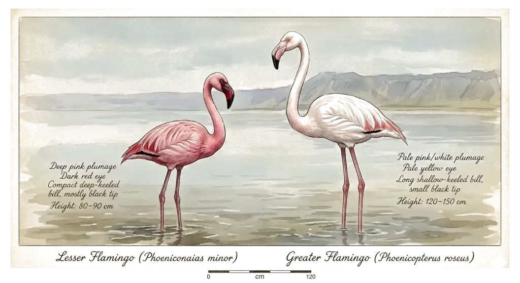
| 🦩 Species | Lesser Flamingo (Phoeniconaias minor) |
| 📏 Height | 80–90 cm (31–35 in) |
| ⚖️ Weight | 1.2–2.7 kg (2.6–6 lb) |
| 👁️ Eye | Dark red / crimson |
| 🪶 Bill | Deep red, extensive black tip |
| 🔬 Filter | Extremely fine (traps microscopic algae) |
| 🍽️ Main food | Cyanobacterium Arthrospira fusiformis |
| 💧 Pump speed | ~20 times per second |
| 🐣 Maturity | ~6 years |
| 🌍 Range | East African soda lakes + India |
| 🏠 Breeding | Lake Natron (75% of world born here) |
| 📊 Population | 2–3 million; 1.5–2.5 million at Natron |
| 📉 IUCN | Near Threatened (declining) |
| 🛡️ Adaptations | Scaly legs, salt‑excreting glands |
| 💀 Die‑offs | Cyanotoxins from own food source |
| 🔥 Symbol | "Phoenix" – rises from toxic ashes |
| 🦩 Species | Greater Flamingo (Phoenicopterus roseus) |
| 📏 Height | 120–150 cm (47–59 in) |
| ⚖️ Weight | 2.1–4.1 kg (4.6–9 lb) |
| 👁️ Eye | Pale yellow |
| 🪶 Bill | Pale pink with black tip |
| 🔬 Filter | Coarse (shallow‑keeled, larger prey) |
| 🍽️ Main diet | Midge larvae, brine shrimp, copepods, seeds |
| 💧 Pump speed | ~4–5 times per second |
| 🐣 Maturity | 3–5 years |
| 🌍 Range | Africa, S. Europe, Middle East, Asia |
| 🏠 Breeding | Multiple sites: Elmenteita, Nakuru, Camargue, etc. |
| 📊 Population | ~550,000–680,000 |
| 📉 IUCN | Least Concern (stable) |
| 🛡️ Adaptations | Generalist feeder, tolerates fresh & salt water |
| 🥚 Nest | Mud mound; 1 egg; both parents incubate |
| 🎨 Colour | Pale pink — less carotenoid in diet |
Lesser Flamingo Soda Lakes Network: How Far Do They Travel?
Lesser Flamingos are among the most mobile birds on the continent. They do not follow a fixed seasonal migration route; instead they are nomadic, moving constantly between a network of alkaline‑saline lakes in search of the cyanobacterium Arthrospira fusiformis that forms their staple diet. Their numbers on a single lake can double or halve in just two weeks, and they fly mostly at night in V‑shaped formations at an average speed of about 60 kilometres per hour, preferring cloudless skies and favourable tailwinds.
Local movements between the soda lakes: The key site network for Lesser Flamingos in East Africa consists of seven alkaline lakes in Kenya and Tanzania — Logipi, Bogoria, Nakuru, Elmenteita, Natron, Manyara, and Eyasi — plus the ephemeral Bahi Swamp in central Tanzania.
Overnight migration distances: Flamingos can cover remarkable distances in a single night. They typically fly at 50 to 60 kilometres per hour, and can travel approximately 600 kilometres in one night of sustained flight.
What is a bloom?
A bloom happens when a population of microscopic organisms explodes in numbers so rapidly and so densely that it becomes visible to the naked eye. Think of it as the lake suddenly turning into a thick, soupy mass of living cells. When conditions are favourable—plenty of sunlight, warm water, and abundant nutrients—cyanobacteria can grow so profusely that the water takes on the appearance of “pea soup”. The bloom may look like a thick green, blue-green, or even reddish scum, streak, or mat floating on the surface or suspended throughout the water. Blooms are natural phenomena, but human activities such as agricultural runoff and poorly functioning septic systems can pour extra nutrients into lakes and make blooms far more likely.
In the context of the soda lakes and our flamingo story, the most important bloom-former is Arthrospira fusiformis. When conditions are right—the right salinity, the right temperature, the right light—Arthrospira cells multiply into a dense, soupy bloom that can stretch for kilometres. That bloom is what the flamingos fly hundreds of kilometres to find, and they sweep their specialised beaks through the water to filter out the tiny filaments. But blooms are boom-and-bust: they can collapse in days when conditions shift, and some cyanobacteria—including Arthrospira under stress—can produce toxins that have been implicated in flamingo die-offs.
So a bloom is basically a lake’s sudden, visible explosion of microscopic life—the very thing that makes the soda lakes some of the most productive ecosystems on Earth, and the very thing the flamingos live and die by.
What do Lesser Flamingos eat, and why is Arthrospira so important?
Their primary food is the filamentous cyanobacterium Arthrospira fusiformis (formerly called Spirulina platensis), which blooms in the warm, alkaline waters of East African soda lakes. The birds are filter-feeding specialists, with a deep‑keeled bill and an extremely fine filter that traps the microscopic algae. Gut content analyses of moribund flamingos confirm that Arthrospira is the main food item, and the birds cannot thrive without it. When the blooms collapse, they are forced to move on or face starvation.
Arthrospira dominates the food web in the highly alkaline soda lakes of East Africa—these lakes have few other food options for animals, meaning the lake itself serves almost as a protective moat.
- A Lesser Flamingo requires about 60–72 g of dry weight of blue-green algae per day.
- Their deep-keeled bill has evolved with an extremely fine filter—the lamellae are packed far more tightly than those of the Greater Flamingo, making them obligate microphagous filter-feeders.
- Arthrospira offers “high concentration of vitamins, minerals, phenolics, vital fatty acids, amino acids, and colors”, and is a complete protein source of about 60% protein.
- The flamingo’s filter-feeding apparatus has evolved to target microscopic particles in the water column, and the carotenoid pigments in spirulina are directly responsible for the bird’s pink plumage.
Ultimately, the Lesser Flamingo needs spirulina because its entire feeding anatomy is calibrated to extract this one food source from highly alkaline water—a niche no other large bird fills.
What happens when they don't get spirulina?
When spirulina blooms crash, Lesser Flamingos are forced to switch to alternative food sources—principally benthic diatoms. ,when none of the larger lakes supported a high standing crop density of Spirulina. Yet the drop in food value is dramatic.
When forced onto diatoms, flamingo behaviour changes markedly. Instead of clustering in dense pink concentrations on a few bloom-rich lakes, “the flamingo population became much more dispersed when it was dependent on benthic diatoms, because no single lake could support a high proportion of the population”. Occasionally, slimy cyanobacteria can form large colonies that physically block the lamellae and prevent the bird from filtering anything at all, even though those colonies may be abundant. There is also the toxic paradox: the same spirulina that feeds flamingos can, under stress, produce toxins implicated in mass die-offs, as documented at Lakes Nakuru and Bogoria where cyanotoxins, heavy metals, and pesticides have all been linked to poisoning events.
What do Lesser and Greater Flamingos eat, and how does bill shape control their diets?
I see the difference most clearly in what each bird chooses to eat. The Lesser Flamingo is a specialist, feeding almost entirely on microscopic cyanobacteria, principally the filamentous Arthrospira, along with some benthic diatoms. Its deep‑keeled bill is narrow and packed with an extremely fine filter that can sift out single‑celled organisms barely visible to the eye. The Greater Flamingo, by contrast, is a generalist with a shallow‑keeled bill: wider, coarser, and built to trap larger items — midge larvae, brine shrimp, copepods, seeds, and small molluscs. As SeaWorld’s reference states, “Lesser, James’, and Andean flamingos have deep‑keeled bills and feed mainly on algae and diatoms. Greater, Caribbean, and Chilean flamingos have shallow‑keeled bills and feed on insects, aquatic invertebrates, and small fishes.” The bill is destiny.
How can the two species feed side by side in the same lake without competing?
They coexist because their filters are tuned to completely different food sizes. The Lesser Flamingo takes microscopic cyanobacteria suspended in the water column, while the Greater Flamingo takes larger prey from the mud and shallows — insect larvae, copepods, and brine shrimp. The fundamental separation is built into the structure of their beaks. There is some overlap; Greater Flamingos will occasionally eat Arthrospira, but the niche separation is robust. As Krienitz explains, the Lesser Flamingo’s preferred food — Arthrospira — “grows by the tons in the soda lakes,” yet this resource is not contested because the Greater Flamingo cannot filter it efficiently with its coarser lamellae. The lake sets the table for both, but each dines from a different plate.
Why is Lake Natron the only regular breeding site for Lesser Flamingos?
Lake Natron’s caustic, hyperalkaline waters — with a pH that can rival household ammonia — form a natural fortress against predators, while its vast, shallow mudflats provide the perfect nesting platform. Temperatures in the mud can reach 50°C, and the lake is fed by natrocarbonatite lava from the nearby Ol Doinyo Lengai volcano, which creates the very conditions that make the lake so hostile to most life. It is this extreme, inhospitable chemistry that keeps the chicks safe, and up to 75% of the world’s Lesser Flamingos are born on this single lake.
Why is the Lesser Flamingo more vulnerable when Arthrospirablooms collapse?
The Lesser Flamingo’s specialisation is both its strength and its fragility. Its diet is tied almost entirely to a single genus of cyanobacterium. When Arthrospira blooms crash — killed by dilution, competition, or viral attack — the bird faces a crisis. As Krienitz describes, the competitors that replace Arthrospira are often unsuitable: tiny green and yellow‑green algae are too small to be captured by the filter lamellae, and slimy cyanobacteria in large colonies can physically block the birds’ intake tools. Diatoms can serve as a fallback, but “the energy these algae provide is not as high as that of Arthrospira.” The Lesser Flamingo must either find another lake where the bloom persists or risk starvation. The Greater Flamingo, with its broad palate, can simply switch to insect larvae, brine shrimp, or seeds. This resilience gives the Greater a geographic and ecological flexibility that the highly specialised Lesser Flamingo lacks — making the latter far more vulnerable to the rising lake levels, climate shifts, and habitat disruptions now sweeping the soda lake network.
Why is the Lesser Flamingo called the "Phoenix"?
The name comes from the ancient myth of the firebird that is consumed by flames and then rises from its own ashes. The Lesser Flamingo lives out this story in the real world: it hatches on caustic mudflats where temperatures can kill most life, survives in waters that would burn human skin, and returns to breed in the same lethal lakes year after year, even after mass die‑offs have swept tens of thousands of birds away. Lothar Krienitz, in his book Lesser Flamingos: Descendants of Phoenix, uses the Phoenix motif to reflect on the circle of life and the bird’s uncanny ability to endure.
What causes the mysterious mass die‑offs of Lesser Flamingos?
The answer lies in a cruel paradox: the same cyanobacterium that feeds them can also kill them. Under certain conditions, Arthrospira can produce toxins, and concentrations of up to 150 million filaments per litre have been found in lakes where flamingos were dying at rates of 15 to 50 birds per day. Yet not all die‑offs trace back to toxins. At Lake Bogoria, a study of 20 carcasses found no cyanotoxins at all, pointing instead to other causes such as food composition or disease. The die‑offs are often linked to sudden environmental shifts that disrupt the delicate algal balance.
How do Lesser Flamingos survive in such toxic, alkaline lakes?
Their bodies are built for the extreme. They have tough, scaly legs that resist the caustic brine, and their bills are equipped with a dense filter that can sift out single‑celled algae from water that would burn most other creatures. The very features that make the lakes hostile to other life — high salinity and alkalinity — are what support the dense blooms of Spirulina that form the flamingos’ food. As one researcher puts it, the lake’s chemistry is perfect for the birds: it keeps predators away and feeds them at the same time.
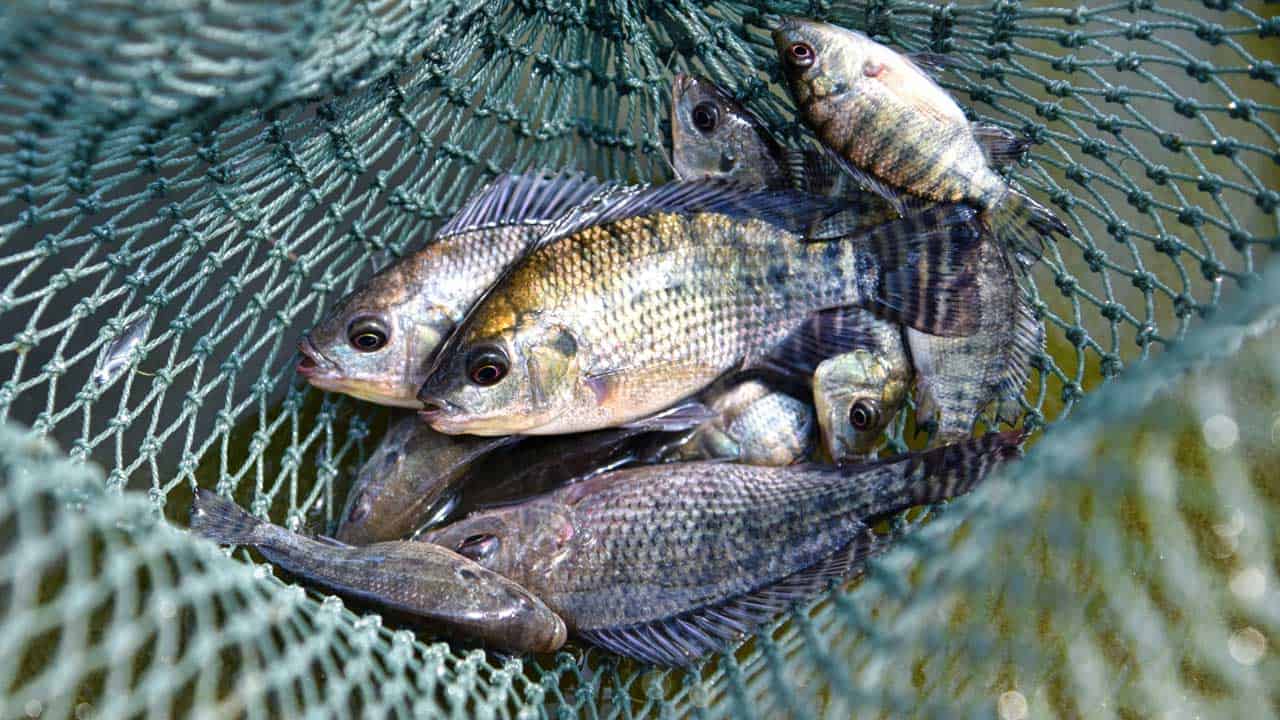
The Soda-WaterFish
Oreochromis amphimelas (Manyara Tilapia) & Alcolapia alcalica (Natron Tilapia) — survivors of East Africa’s alkaline abyss.
Step into the shores of Lake Natron or Manyara, and the air stings your nostrils with baking soda. The water feels like soap against the skin. Nothing should live here. Yet, beneath the mirror-like surface, two extraordinary tilapias have rewritten biology, shaped by extreme pH & salinity. From the caustic waters of Lake Natron to the volcanic basins of Manyara — evolutionary marvels that thrive where others perish.
These ‘soda tilapias’ have evolved physiological adaptations, such as excreting urea instead of ammonia, allowing them to tolerate the caustic, alkaline water.
| They breathe in poison and turn it into life, excreting 100% urea while swimming comfortably in a scorching environment. While larger river predators face immediate chemical burns from touching the brine, these native fish graze peacefully on dense mats of spirulina algae. | 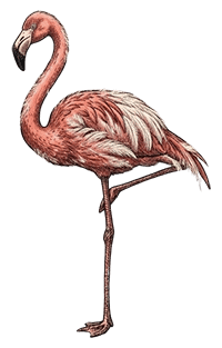 |
Of the nearly 100 tilapia species on Earth, most swim in freshwater lakes and rivers. Only a handful — including the Alcolapia of Natron and Magadi, and the Manyara tilapia — chose the caustic embrace of soda lakes, evolving into the planet’s most alkalinity-tolerant fish. |
This unique ecosystem creates a closed web of survival where only the most hyper-adapted organisms can endure. The intense African heat rapidly evaporates the water, leaving behind thick, jagged crusts of trona crystal beds. Yet, it is this precise chemical harshness that shields the soda lake life from outside competitors, allowing their specialized populations to explode in the millions against all ecological odds.
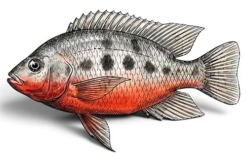
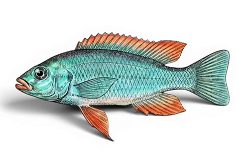
| Trait | Oreochromis amphimelas (Manyara) | Alcolapia (Natron/Magadi) |
|---|---|---|
| 💨 Urea excretion | Urea magic: Instead of ammonia, they excrete 100% urea — the only fish to do so entirely. | Urea magic: Instead of ammonia, they excrete 100% urea — the only fish to do so entirely. |
| 🩸 Blood pH | 8.6 – 9.0 — among highest in any fish. | 8.6 – 9.0 — among highest in any fish. |
| 🌍 Main lakes | Manyara, Eyasi, Kitangiri, Singida, Sulunga | Natron, Magadi, Eyasi margins |
| 📏 Typical size | 12–18 cm (up to 26 cm) | 6–12 cm (max 14 cm) |
| 🎨 Breeding colors | Breeding males transform — deep maroon-red belly and jaws, iridescent cheek spots. Females plain silver-grey with faint mottling. | Breeding males are electric turquoise with fiery orange fins; females wear silver coats with dark bars — a quiet elegance. |
| 🛡️ Conservation | Endangered | Near Threatened |
| 🍃 Diet & soul | Grazes on Diatoms, cyanobacteria, small invertebrates, shaping the entire soda lake ecosystem. | Grazes on Cyanobacteria (blue-green algae) mats in water that would dissolve other fishes' gills, diatoms, detritus |
| 📍Global exclusivity | Lake Manyara, Eyasi, Kitangiri, Singida, Sulunga — all in Tanzania entirely restricted to Tanzania's soda lakes | Endemic range: Lake Natron (Tanzania/Kenya border) + Lake Magadi (Kenya) + a few isolated springs |
| 📏 Effect of salinity on size | Strong lake-dependent; Manyara stunted, larger in fresher basins, 2–18 cm (max ~26 cm in less saline lakes) | Inverse correlation: highest salinity = small mature size, 6–12 cm (up to 14 cm in Natron) |
Carbon Storage | A mature baobab can sequester ~140 tons of CO₂ over its lifetime | Important, though less than dense rainforest trees, due to its low-density wood |
TheTse Tse Flies
The Guardian Paradox
The word ‘tsetse’ comes from Tswana, a language of southern Africa, and, in that language, the word means fly.
“the story of Tarangire cannot be told without the tsetse fly its the ‘guardian pest’ of Tarangire… It is a primary reason why Tarangire remains one of Tanzania’s most pristine and wildlife-rich parks…
Six Lives of a Fly: How a Pest Became Africa’s Unlikely Guardian
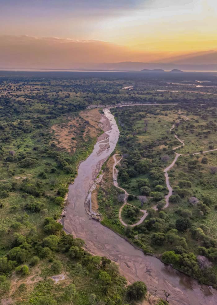
Table of Tsetse Fly Facts: Biology & Impact
| Category | Detail | Why It Matters |
|---|---|---|
Mating & Fertility: Mates once, stays pregnant for life. | "A female tsetse mates once in her lifetime... the female is fertilized for the rest of her life." | Creates permanent, independent reproductive units that cannot be stopped by removing males. |
Reproductive Power: One pregnant fly can start a new population alone. | "If a fertilized fly should stray into a region where there are no others she will still continue to produce fertile eggs for the remaining... two hundred days of her life." | Makes the species an unstoppable colonizer; a single fly can reclaim territory. |
Birth Method: Gives live birth, like a mammal. | "A female tsetse fly will hatch out a single egg inside her own body and feed the larva through special glands, similar in function to the uterus in mammals." | High-investment parenting (K-strategy) ensures each offspring is robust and has a high survival rate. |
Larval Development: The larva grows and molts inside the mother before birth. | "The young larva will then shed its skin three times inside the 'womb'... Then the single larva is born as a whitish maggot..." | Offspring are born at an advanced, tough stage, ready for immediate survival in a harsh environment. |
Survival Strategy: Quality over quantity: one strong baby at a time. | "This low-reproduction, high-investment strategy is... the evolutionary bedrock of her species' tenacity." | Population is resilient, not numerous, making it resistant to traditional pest control methods. |
Unbeatable Nature: Biologically impossible to fully eradicate from land. | "This biology meant that eradication required... killing every single, independently potent female—a logistical impossibility in vast wilderness." | Their biological claim to the land is absolute, outlasting human campaigns and megafauna. |
Ecological Role: Created a permanent "no farming" zone. | "Their presence is a primary reason why large-scale agriculture and human settlement have not encroached on the park." | Acted as Africa's most effective, if accidental, land-use planner, preserving wilderness. |
Conservation Result: Their stubbornness saved the savanna for wildlife. | "The tsetse fly is the 'guardian pest'... a primary reason why Tarangire remains one of Tanzania's most pristine and wildlife-rich parks." | Unintentional conservator: the pest humans fought became the wilderness's greatest protector. |
Tourist Experience: Bite is painful but does not transmit disease to visitors. | "The species in Tarangire do not carry human African trypanosomiasis... Their main threat is a painful bite." | A manageable nuisance that reminds visitors they are in a truly wild, untamed ecosystem. |
Wildlife Spectacle: Flies on elephants create a bird-feeding frenzy. | "These swarms attract massive numbers of insectivorous birds... This bustling, dynamic interaction is a unique wildlife viewing highlight." | Drives a key symbiotic spectacle, turning a pest into a crucial part of the safari food web drama. |
Historical Irony: Humans lost the war against the fly, and the wilderness won. | "The creature most aggressively fought by humans became the very entity that saved this piece of Africa for humans—not for farming, but for wonder." | The ultimate paradox: defeat by a fly led to the preservation of iconic landscapes for future generations. |
Immune Grazers: Why Zebra and Wildebeest Are Rarely Bitten
“Scientific studies of tsetse fly feeding patterns reveal a striking and counterintuitive selectivity. While warthogs and bushpigs supply the vast majority of their blood meals, the flies display a near-total avoidance of the savanna’s most iconic herds. Zebra, wildebeest, and hartebeest—animals that dominate the grazing landscape—are virtually never bitten. This is not a matter of opportunity, as these animals share the same habitat. Instead, it points to a powerful evolutionary defense. Researchers believe these ‘immune grazers’ may possess a chemical or odor profile in their skin and blood that is highly repellent to tsetse flies, or a hair density and skin thickness that makes feeding inefficient. This natural immunity allowed these species to thrive in tsetse-dense regions, shaping the very composition of the great herbivore migrations and underscoring that in the tsetse’s world, visibility is no guarantee of vulnerability.“
Tse tse flies: From Pest to Keystone Species
The story of the tsetse fly is one of profound ecological irony, tracing a path from despised “economic enemy” to recognized “keystone species.” For colonial authorities, its woodlands were “‘wasted’ land,” leading to “massive wildlife culling campaigns” that were “ecologically devastating and largely failed.” Yet in its stubborn resilience—“the tsetse fly does not surrender so easily”—lay its unintended power. By transmitting disease to livestock, it created a “biological fence” that became “a primary reason why large-scale agriculture and human settlement have not encroached” on vast wilderness areas. This made it the “unintentional conservator” of ecosystems, so that when national parks like Tarangire were created, the truth was clear: “the very same factors that made it a scourge to colonial farmers had preserved the wilderness from conversion.” Its unique biology, where a female “mates once in her lifetime” and can independently repopulate an area, made it an “unbeatable” claimant to the land.
Today, science acknowledges this “painful irony”: the fly, “long fought as an enemy of development, has been one of Tanzania’s most effective conservation allies,” performing an “ecosystem service worth billions.” The final, stunning paradox is that “the creature most aggressively fought by humans became the very entity that saved this piece of Africa for humans—not for farming, but for wonder,” securing its legacy as the true “guardian pest” of the savanna.
Tse Tse flies: Tarangire vs Serengeti
| Feature | Tarangire | Serengeti |
|---|---|---|
Core Presence: | "A keystone character in the story." A pervasive and defining force in its riverine thickets and woodlands. | "The tsetse fly is a footnote, not a main chapter." Largely absent from the iconic plains, confined to fringe woodlands. |
Shaping Wildlife: | "Animals tolerate the bites for water and food." Dry-season concentrations of elephants & others occur precisely in tsetse-rich areas. | "The great migration happens freely." Animal movements are driven by grass and rain, not insect avoidance. |
Historical Role: | "Saved by biological resistance." Its protection is an accident—the fly kept settlers and cattle out for centuries. | "Saved by human vision and international law." Its protection is a story of human conservation foresight. |
Visitors Experience: | "Managed immersion." Requires strategy (light clothes, closed windows) but offers unique spectacles like bird-and-elephant symbiosis. | "Unobstructed freedom." Vast, open views with no need for insect-specific precautions on the plains. |
Interesting Fact: | Tarangire's tsetse species (G. swynnertoni) is so specialized it rarely bites humans, preferring warthog, buffalo, and kudu. | The Serengeti's short-grass plains are tsetse-free due to ancient soil types and fire patterns, creating a safe haven for wildebeest calves. |
The One-Sentence Story: | "Tarangire exists because of the fly's presence. Our narrative is one of ecological irony and a tenacious, six-legged guardian." | "The Serengeti thrives in spite of the fly's absence. Our narrative is one of climatic destiny and human stewardship." |
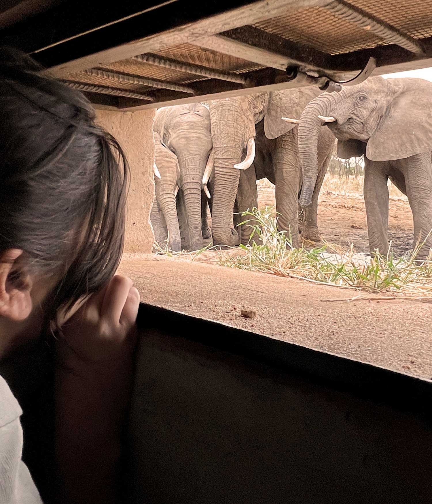
Because the Tarangire River provides the only reliable year-round water source across thousands of square kilometers during the June-October drought. While surface water disappears elsewhere, the river’s underground aquifer remains accessible, forcing 90% of the region’s wildlife to congregate along its 150-km course. This creates spectacular viewing opportunities with densities reaching 5.2 elephants per square kilometer.
How do animals access the underground water?
Through remarkable adaptations: Elephants dig wells up to 2 meters deep using their tusks and trunks, creating communal waterholes for over 40 other species. Their ability to detect water involves seismic sensing—feeling vibrations through their feet that indicate where the water table is closest to the surface. Other animals then use these elephant-made wells or rely on capillary moisture drawn up by riverbank trees like baobabs.
What is the "fossil water" in Tarangire?
Recent isotope studies reveal that approximately 70% of the Tarangire River’s groundwater is “fossil water”—precipitation that fell during the Last Ice Age, 10,000-25,000 years ago. This ancient water mixes with modern rainfall recharge (30%), meaning today’s wildlife is drinking molecules that fell when mammoths and saber-toothed cats roamed the area, making the river a liquid time capsule connecting prehistoric and modern ecosystems.
Can tourists see the river's water?
Only during the brief rainy season (typically December to March) when surface flow occurs. For most of the year, visitors see the dramatic dry riverbed with wildlife clustered along its banks—a scene that paradoxically represents the river’s greatest abundance, as the concentration of animals proves the hidden water’s presence. The sight of elephants digging in dry sand to reveal water is one of Tarangire’s most iconic experiences.
Why is the Tarangire River essential to understanding Tarangire National Park?
Because the river explains everything about Tarangire’s ecology: why animals concentrate here in dry season, how baobabs survive drought, why predator densities are high, and ultimately, why this park exists as a protected area. The river’s unique disappearing act creates the wildlife spectacles that define Tarangire, making it not just a geographical feature but the ecological engine of the entire ecosystem.
TheSignature BirdsTarangire
The park’s mosaic of woodland savanna, baobab forest, riverine vegetation, and wetlands sustains an extraordinary avifauna exceeding 500 species—making it one of the most species-rich bird areas in Tanzania and a designated Important Bird Area (IBA) by BirdLife International.
List of Signature Birds of Tarangire
(1) Raptors and Birds of Prey
Tarangire’s open savannas and baobab trees make it prime territory for large eagles, vultures, and owls.
(2) Waterbirds and Waders
Tarangire’s open savannas and baobab trees make it prime territory for large eagles, vultures, and owls.
(3) Ground and Grassland Birds
Tarangire’s open plains and termite mounds are perfect for these terrestrial species.
(4) Woodland and Savanna Birds
These bright, conspicuous birds bring color to Tarangire’s baobabs and acacias.
(5) Doves, Pigeons, Parrots, and Turacos
Tarangire’s open plains and termite mounds are perfect for these terrestrial species.
(6) Passerines and Songbirds
These smaller birds add life and sound to Tarangire’s woodland edges and campsites.
(7) Migratory Species
Between October and April, the park hosts many migrants:
Best Seasons for Birding
| Season | Months | Highlights |
|---|---|---|
Green Season | Nov–Apr | Migrants, breeding plumage, lush landscapes |
Dry Season | Jun–Oct | River congregations, large raptors, excellent visibility |
Why Tarangire is a Top Birding Destination
- Diverse habitats—The park features riverine forests, acacia woodlands, and grassland floodplains (seasonal marshes), baobab-studded hills, creating multiple ecological niches.
- Resident and migratory species—including Eurasian migrants from October to April.
- Large flocks—especially in the dry season when water concentrates along the Tarangire River and Silale Swamp.
-
The River Factor: The Tarangire River acts as a magnet during the dry season (June–November), concentrating birds along its banks.
-
Speciality Species: It is the best location for dry-country endemics that are hard to find elsewhere, particularly the Tarangire Weaver (endemic to Tanzania) and the Ashy Starling.
- Accessibility—excellent birding from safari vehicles or on guided walking safaris.
The "Special Six" (Tarangire Specialties)
Tse Tse flies: Tarangire vs Serengeti
| Feature | Tarangire | Serengeti |
|---|---|---|
Core Presence: | "A keystone character in the story." A pervasive and defining force in its riverine thickets and woodlands. | "The tsetse fly is a footnote, not a main chapter." Largely absent from the iconic plains, confined to fringe woodlands. |
Shaping Wildlife: | "Animals tolerate the bites for water and food." Dry-season concentrations of elephants & others occur precisely in tsetse-rich areas. | "The great migration happens freely." Animal movements are driven by grass and rain, not insect avoidance. |
Historical Role: | "Saved by biological resistance." Its protection is an accident—the fly kept settlers and cattle out for centuries. | "Saved by human vision and international law." Its protection is a story of human conservation foresight. |
Visitors Experience: | "Managed immersion." Requires strategy (light clothes, closed windows) but offers unique spectacles like bird-and-elephant symbiosis. | "Unobstructed freedom." Vast, open views with no need for insect-specific precautions on the plains. |
Interesting Fact: | Tarangire's tsetse species (G. swynnertoni) is so specialized it rarely bites humans, preferring warthog, buffalo, and kudu. | The Serengeti's short-grass plains are tsetse-free due to ancient soil types and fire patterns, creating a safe haven for wildebeest calves. |
The One-Sentence Story: | "Tarangire exists because of the fly's presence. Our narrative is one of ecological irony and a tenacious, six-legged guardian." | "The Serengeti thrives in spite of the fly's absence. Our narrative is one of climatic destiny and human stewardship." |
Because the Tarangire River provides the only reliable year-round water source across thousands of square kilometers during the June-October drought. While surface water disappears elsewhere, the river’s underground aquifer remains accessible, forcing 90% of the region’s wildlife to congregate along its 150-km course. This creates spectacular viewing opportunities with densities reaching 5.2 elephants per square kilometer.